This Ravensthorpe street map is a detailed vector street map covering a 750m x 750m area. Select a larger area to create and download your own vector street map of Ravensthorpe.
The 750-metre map sample for Ravensthorpe covers 162 mapped buildings and approximately 12.7 km of road detail, of which 11 named roads are named. The immediate area includes 1 pub and 1 MOT station. The wider area around Ravensthorpe features 1 food and drink venue. To create a larger or custom map of Ravensthorpe, the map builder lets you define your own coverage area and download editable SVG, PDF and PNG files.
Create a larger editable map of Ravensthorpe
Choose any area you need and generate a high-quality vector map instantly. Perfect for print, planning, design, business and personal use.

This Ravensthorpe street map in Northamptonshire is available as downloadable SVG, PDF and PNG map files, or as a printed map for planning, business, display, education, local information and design work. You can also create a larger custom map area using the map selector.
What this Ravensthorpe map sample shows
Ravensthorpe lies within Ravensthorpe Cp parish, part of Ravensthorpe ward in the West Northamptonshire local authority area. The postcode geography for this area includes the NN postcode area, the NN6 postcode district and the NN6 8 postcode sector. Residents fall under the Nhs Northamptonshire Integrated Care Board for NHS services.
Local features near Ravensthorpe
Within 2 milesAmenities and services in and around Ravensthorpe.
Administrative and postcode information for Ravensthorpe
Ravensthorpe lies within Ravensthorpe Cp parish, part of Ravensthorpe ward in the West Northamptonshire local authority area. The postcode geography for this area includes the NN postcode area, the NN6 postcode district and the NN6 8 postcode sector. Residents fall under the Nhs Northamptonshire Integrated Care Board for NHS services.
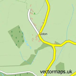
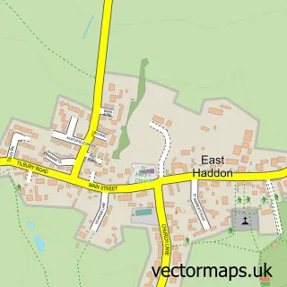
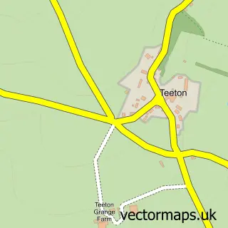
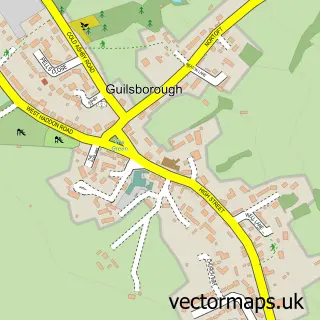
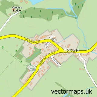
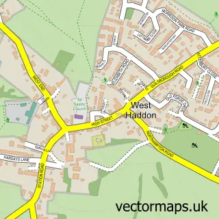
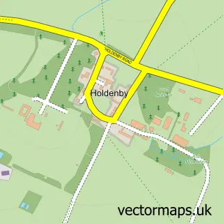
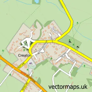
Nearby street map samples around Ravensthorpe


More street maps in Northamptonshire
750 metre map area coverage
Boundary, postcode and point of interest information for the 750m x 750m rectangle centred on this sample map.
Boundaries containing map centre
Constituency: Daventry Co Const
District: West Northamptonshire
Icb: NHS Northamptonshire ICB
Parish: Ravensthorpe CP
Police Force: northamptonshire
Postcode District: NN6
Postcode Sector: NN6 8
Ward: Long Buckby Ward
Nearby boundaries intersecting sample
No additional intersecting boundaries found.
Postcode coverage
POI category counts
Automotive Repair: 1
Building Supply Store: 1
Cabin: 1
Car Dealer: 1
Engineering Services: 1
Online Shop: 1
Photography Store And Services: 1
Post Office: 1
Pub: 1
Shipping Center: 1
Sample points of interest
- Ravensthorpe Service Station
- Town & Country Windows
- Holiday Properties Direct
- AlanBoddington.com
- Torquemeters
- iX5 Pest Control
- Melbourne Photography
- Ravensthorpe Sub Post Office
- The Chequers
- Post Office-Ravensthorpe
- Futures Sports Limited
- MB Motor Sales
Create a larger editable map of Ravensthorpe
This sample shows only a 750 metre area. To create a larger map of Ravensthorpe, use our map builder to choose your own coverage area, add titles and download editable SVG, PDF and PNG files.
Create a custom map of Ravensthorpe