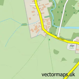
This Great Creaton street map is a detailed vector street map covering a 750m x 750m area. Select a larger area to create and download your own vector street map of Great Creaton.
The 750-metre map sample for Great Creaton covers 208 mapped buildings and approximately 24.9 km of road detail, of which 12 named roads are named. The immediate area includes 1 MOT station within 2 miles. The wider area around Great Creaton features 1 tourism point of interest. To create a larger or custom map of Great Creaton, the map builder lets you define your own coverage area and download editable SVG, PDF and PNG files.
Create a larger editable map of Great Creaton
Choose any area you need and generate a high-quality vector map instantly. Perfect for print, planning, design, business and personal use.

This Great Creaton street map in Northamptonshire is available as downloadable SVG, PDF and PNG map files, or as a printed map for planning, business, display, education, local information and design work. You can also create a larger custom map area using the map selector.
What this Great Creaton map sample shows
Great Creaton lies within Creaton Cp parish, part of Brixworth ward in the West Northamptonshire local authority area. The postcode geography for this area includes the NN postcode area, the NN6 postcode district and the NN6 8 postcode sector. Residents fall under the Nhs Northamptonshire Integrated Care Board for NHS services.
Local features near Great Creaton
Within 2 milesAmenities and services in and around Great Creaton.
Administrative and postcode information for Great Creaton
The local authority covering Great Creaton is West Northamptonshire, within the county of Northamptonshire. The settlement lies within Brixworth ward and Creaton Cp civil parish. The NN6 postcode district and NN6 8 postcode sector serve the immediate area. NHS provision in the area is delivered through Northampton General Hospital Nhs Trust.
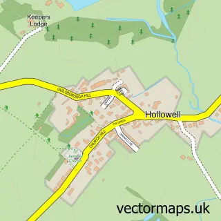
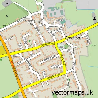
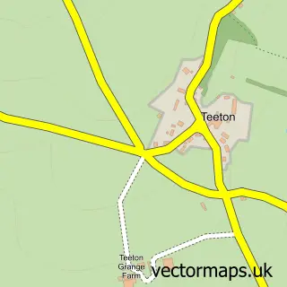
Nearby street map samples around Great Creaton


More street maps in Northamptonshire
750 metre map area coverage
Boundary, postcode and point of interest information for the 750m x 750m rectangle centred on this sample map.
Boundaries containing map centre
Constituency: Daventry Co Const
District: West Northamptonshire
Icb: NHS Northamptonshire ICB
Parish: Creaton CP
Police Force: northamptonshire
Postcode District: NN6
Postcode Sector: NN6 8
Ward: Naseby Ward
Nearby boundaries intersecting sample
No additional intersecting boundaries found.
Postcode coverage
POI category counts
Post Office: 2
Professional Services: 2
Shipping Center: 2
Acupuncture: 1
Anglican Church: 1
Dance School: 1
Indian Restaurant: 1
Industrial Equipment: 1
Landmark And Historical Building: 1
Oil And Gas: 1
Sample points of interest
- Hayley Clark Acupuncture
- St Michael & All Angels
- Papillon School of Dance
- Jomidar Lounge
- Excelerate Ltd.
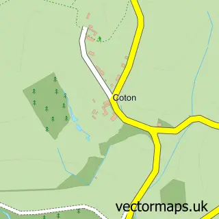
- Creaton
- Watson Petroleum
- Creaton Village Shop
- Post Office
- Ducklings Pre-School
- Access Control Ltd
- Teamscapes Learning
Create a larger editable map of Great Creaton
This sample shows only a 750 metre area. To create a larger map of Great Creaton, use our map builder to choose your own coverage area, add titles and download editable SVG, PDF and PNG files.
Create a custom map of Great Creaton