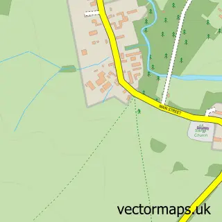
This Guilsborough street map is a detailed vector street map covering a 750m x 750m area. Select a larger area to create and download your own vector street map of Guilsborough.
The 750-metre map sample for Guilsborough covers 260 mapped buildings and approximately 13.8 km of road detail, of which 11 named roads are named. The immediate area includes 1 school, 1 GP surgery within 2 miles, 1 pub and 1 MOT station within 2 miles. The wider area around Guilsborough features 1 food and drink venue. To create a larger or custom map of Guilsborough, the map builder lets you define your own coverage area and download editable SVG, PDF and PNG files.
Create a larger editable map of Guilsborough
Choose any area you need and generate a high-quality vector map instantly. Perfect for print, planning, design, business and personal use.

This Guilsborough street map in Northamptonshire is available as downloadable SVG, PDF and PNG map files, or as a printed map for planning, business, display, education, local information and design work. You can also create a larger custom map area using the map selector.
What this Guilsborough map sample shows
Guilsborough lies within Guilsborough Cp parish, part of Long Buckby ward in the West Northamptonshire local authority area. The postcode geography for this area includes the NN postcode area, the NN6 postcode district and the NN6 8 postcode sector. Residents fall under the Nhs Northamptonshire Integrated Care Board for NHS services.
Local features near Guilsborough
Within 2 milesAmenities and services in and around Guilsborough.
Administrative and postcode information for Guilsborough
Guilsborough lies within Guilsborough Cp parish, part of Long Buckby ward in the West Northamptonshire local authority area. The postcode geography for this area includes the NN postcode area, the NN6 postcode district and the NN6 8 postcode sector. Residents fall under the Nhs Northamptonshire Integrated Care Board for NHS services.
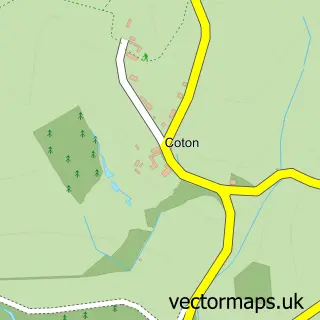
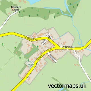
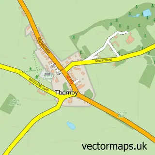
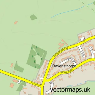
Nearby street map samples around Guilsborough


More street maps in Northamptonshire
750 metre map area coverage
Boundary, postcode and point of interest information for the 750m x 750m rectangle centred on this sample map.
Boundaries containing map centre
Constituency: Daventry Co Const
District: West Northamptonshire
Icb: NHS Northamptonshire ICB
Parish: Guilsborough CP
Police Force: northamptonshire
Postcode District: NN6
Postcode Sector: NN6 8
Ward: Naseby Ward
Nearby boundaries intersecting sample
No additional intersecting boundaries found.
Postcode coverage
POI category counts
Convenience Store: 4
Post Office: 3
Beauty Salon: 1
Building Contractor: 1
Building Supply Store: 1
Business Consulting: 1
Community Center: 1
Construction Services: 1
Cupcake Shop: 1
Education: 1
Sample points of interest
- Browhouse
- Complete Office Cleaning Services
- Phil White Contractors
- E3 Marketing Limited
- Guilsborough Village Hall
- Abbex Building Solutions
- Budgens BUDGENS - SEATON STORES
- Londis
- Londis SEATON STORE
- Seaton Stores
- Laws Cupcakes
- School House Day Care Collections
Create a larger editable map of Guilsborough
This sample shows only a 750 metre area. To create a larger map of Guilsborough, use our map builder to choose your own coverage area, add titles and download editable SVG, PDF and PNG files.
Create a custom map of Guilsborough