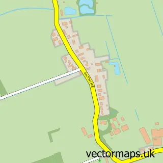
This Hollym street map is a detailed vector street map covering a 750m x 750m area. Select a larger area to create and download your own vector street map of Hollym.
The 750-metre map sample for Hollym covers 131 mapped buildings and approximately 7.8 km of road detail, of which 8 named roads are named. The immediate area includes 1 GP surgery within 2 miles, 1 pub and 1 MOT station within 2 miles. The wider area around Hollym features 2 food and drink venues and 1 campsite within 2 miles. To create a larger or custom map of Hollym, the map builder lets you define your own coverage area and download editable SVG, PDF and PNG files.
Create a larger editable map of Hollym
Choose any area you need and generate a high-quality vector map instantly. Perfect for print, planning, design, business and personal use.

This Hollym street map in East Riding of Yorkshire is available as downloadable SVG, PDF and PNG map files, or as a printed map for planning, business, display, education, local information and design work. You can also create a larger custom map area using the map selector.
What this Hollym map sample shows
Hollym lies within Hollym Cp parish, part of South East Holderness ward in the East Riding Of Yorkshire local authority area. The postcode geography for this area includes the HU postcode area, the HU19 postcode district and the HU19 2 postcode sector. Residents fall under the Nhs Humber And North Yorkshire Integrated Care Board for NHS services.
Local features near Hollym
Within 2 milesAmenities and services in and around Hollym.
Administrative and postcode information for Hollym
The local authority covering Hollym is East Riding Of Yorkshire, within the county of East Riding Of Yorkshire. The settlement lies within South East Holderness ward and Hollym Cp civil parish. The HU19 postcode district and HU19 2 postcode sector serve the immediate area. NHS provision in the area is delivered through Hull University Teaching Hospitals Nhs Trust.
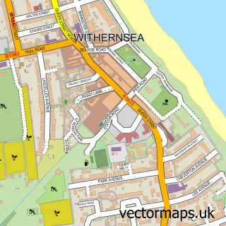
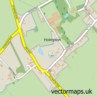
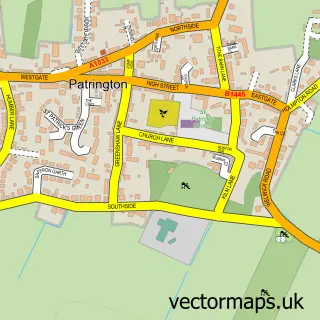
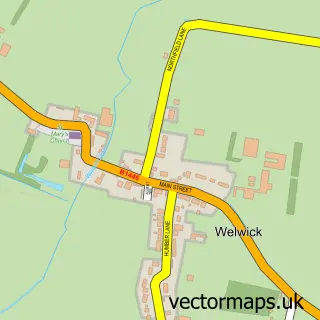
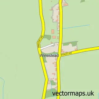
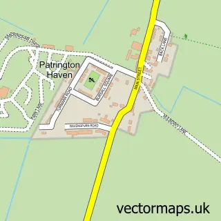
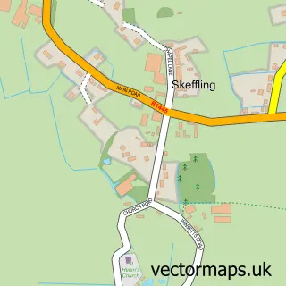
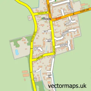
Nearby street map samples around Hollym

More street maps in East Riding of Yorkshire
750 metre map area coverage
Boundary, postcode and point of interest information for the 750m x 750m rectangle centred on this sample map.
Boundaries containing map centre
Constituency: Beverley and Holderness Co Const
District: East Riding of Yorkshire
Icb: NHS Humber and North Yorkshire ICB
Parish: Hollym CP
Police Force: humberside
Postcode District: HU19
Postcode Sector: HU19 2
Ward: South East Holderness Ward
Nearby boundaries intersecting sample
No additional intersecting boundaries found.
Postcode coverage
POI category counts
Active Life: 1
Anglican Church: 1
Bed And Breakfast: 1
Bicycle Shop: 1
Cafe: 1
Charity Organization: 1
Pub: 1
Topic Concert Venue: 1
Town Hall: 1
Sample points of interest
- Hollym Carrs Nature Reserve
- St. Nicholas, Hollym
- The Plough Inn
- Discount Bikes Hollym
- Crossroads Nursery & Garden Centre
- South Holderness Countryside Society
- The Plough Inn Brew Pub
- Holderness K9Klub
- Hollym Village Hall
Create a larger editable map of Hollym
This sample shows only a 750 metre area. To create a larger map of Hollym, use our map builder to choose your own coverage area, add titles and download editable SVG, PDF and PNG files.
Create a custom map of Hollym