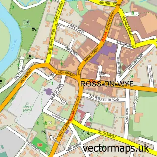
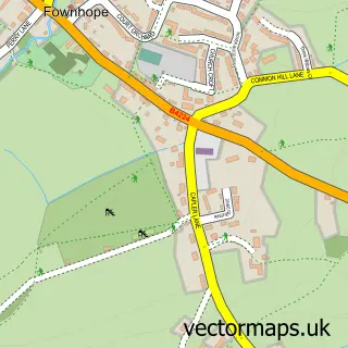
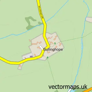
This Holme Lacy street map is a detailed vector street map covering a 750m x 750m area. Select a larger area to create and download your own vector street map of Holme Lacy.
The 750-metre map sample for Holme Lacy covers 154 mapped buildings and approximately 22.0 km of road detail, of which 4 named roads are named. The immediate area includes 3 MOT stations within 2 miles. The wider area around Holme Lacy features 1 campsite within 2 miles. To create a larger or custom map of Holme Lacy, the map builder lets you define your own coverage area and download editable SVG, PDF and PNG files.
Create a larger editable map of Holme Lacy
Choose any area you need and generate a high-quality vector map instantly. Perfect for print, planning, design, business and personal use.

This Holme Lacy street map in Herefordshire is available as downloadable SVG, PDF and PNG map files, or as a printed map for planning, business, display, education, local information and design work. You can also create a larger custom map area using the map selector.
What this Holme Lacy map sample shows
Holme Lacy lies within Holme Lacy Cp parish, part of Dinedor Hill ward in the County Of Herefordshire local authority area. The postcode geography for this area includes the HR postcode area, the HR2 postcode district and the HR2 6 postcode sector. Residents fall under the Nhs Herefordshire And Worcestershire Integrated Care Board for NHS services.
Local features near Holme Lacy
Within 2 milesAmenities and services in and around Holme Lacy.
Administrative and postcode information for Holme Lacy
Holme Lacy lies within Holme Lacy Cp parish, part of Dinedor Hill ward in the County Of Herefordshire local authority area. The postcode geography for this area includes the HR postcode area, the HR2 postcode district and the HR2 6 postcode sector. Residents fall under the Nhs Herefordshire And Worcestershire Integrated Care Board for NHS services.
Nearby street map samples around Holme Lacy

More street maps in Herefordshire
750 metre map area coverage
Boundary, postcode and point of interest information for the 750m x 750m rectangle centred on this sample map.
Boundaries containing map centre
Constituency: Hereford and South Herefordshire Co Const
District: County of Herefordshire
Icb: NHS Herefordshire and Worcestershire ICB
Parish: Holme Lacy CP
Police Force: west mercia
Postcode District: HR2
Postcode Sector: HR2 6
Ward: Dinedor Hill Ward
Nearby boundaries intersecting sample
Constituency: North Herefordshire Co Const
Parish: Hampton Bishop CP
Postcode District: HR1
Postcode Sector: HR1 4
Ward: Backbury Ward
Postcode coverage
POI category counts
College University: 3
Charity Organization: 2
Amateur Sports Team: 1
Baby Gear And Furniture: 1
Massage Therapy: 1
Printing Equipment And Supply: 1
Printing Services: 1
Train Station: 1
Sample points of interest
- Holme Lacy Football Club
- Susan Lawson Christening Wear
- Holme Lacy Village Hall
- Riding for the Disabled Association
- Herefordshire and Ludlow College
- Holme Lacy College
- Holme Lacy College
- Emma Jane Bodywork Hereford
- Spencer Print
- Spencer Print
- Holme Lacy railway station
Create a larger editable map of Holme Lacy
This sample shows only a 750 metre area. To create a larger map of Holme Lacy, use our map builder to choose your own coverage area, add titles and download editable SVG, PDF and PNG files.
Create a custom map of Holme Lacy