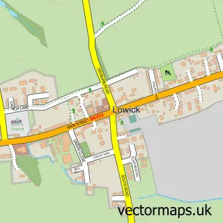
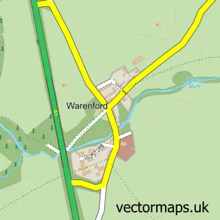
This Holy Island street map is a detailed vector street map covering a 750m x 750m area. Select a larger area to create and download your own vector street map of Holy Island.
The 750-metre map sample for Holy Island covers 47 mapped buildings and approximately 9.0 km of road detail, of which 11 named roads are named. The immediate area includes 1 school and 1 pub. The wider area around Holy Island features 9 tourism points of interest, 10 food and drink venues and 4 hotels. To create a larger or custom map of Holy Island, the map builder lets you define your own coverage area and download editable SVG, PDF and PNG files.
Create a larger editable map of Holy Island
Choose any area you need and generate a high-quality vector map instantly. Perfect for print, planning, design, business and personal use.

This Holy Island street map in Northumberland is available as downloadable SVG, PDF and PNG map files, or as a printed map for planning, business, display, education, local information and design work. You can also create a larger custom map area using the map selector.
What this Holy Island map sample shows
Holy Island lies within Holy Island Cp parish, part of Norham And Islandshires ward in the Northumberland local authority area. The postcode geography for this area includes the TD postcode area, the TD15 postcode district and the TD15 2 postcode sector. Residents fall under the Nhs North East And North Cumbria Integrated Care Board for NHS services.
Local features near Holy Island
Within 2 milesAmenities and services in and around Holy Island.
Administrative and postcode information for Holy Island
Holy Island lies within Holy Island Cp parish, part of Norham And Islandshires ward in the Northumberland local authority area. The postcode geography for this area includes the TD postcode area, the TD15 postcode district and the TD15 2 postcode sector. Residents fall under the Nhs North East And North Cumbria Integrated Care Board for NHS services.
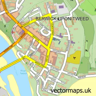
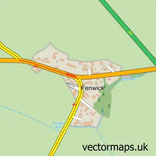
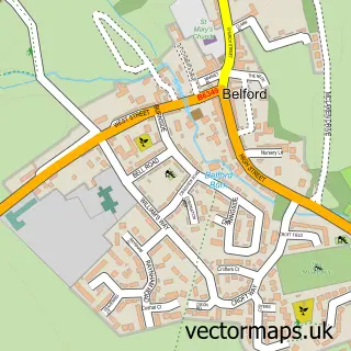
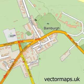
Nearby street map samples around Holy Island

More street maps in Northumberland
750 metre map area coverage
Boundary, postcode and point of interest information for the 750m x 750m rectangle centred on this sample map.
Boundaries containing map centre
Constituency: North Northumberland Co Const
District: Northumberland
Icb: NHS North East and North Cumbria ICB
Parish: Holy Island CP
Police Force: northumberland
Postcode District: TD15
Postcode Sector: TD15 2
Nearby boundaries intersecting sample
No additional intersecting boundaries found.
Postcode coverage
POI category counts
Landmark And Historical Building: 5
Coffee Shop: 4
Hotel: 4
Bed And Breakfast: 3
Cafe: 3
Museum: 3
Brewery: 2
Catholic Church: 2
Restaurant: 2
Shipping Center: 2
Sample points of interest
- St Mary the Virgin
- Impressions of Holy Island
- Holy Island Crafts
- The Lindisfarne Gospel Garden
- St Cuthbert's Isle
- Accommodation on Holy Island
- Lindisfarne Hotel
- The Bungalow B&B
- Lindisfarne Scriptorium
- St Aidan's Winery
- St Aidan's Winery
- Pennine Cottages
Create a larger editable map of Holy Island
This sample shows only a 750 metre area. To create a larger map of Holy Island, use our map builder to choose your own coverage area, add titles and download editable SVG, PDF and PNG files.
Create a custom map of Holy Island