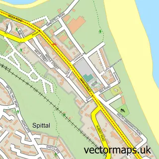
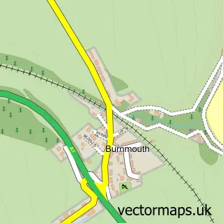
This Berwick-upon-Tweed street map is a detailed vector street map covering a 750m x 750m area. Select a larger area to create and download your own vector street map of Berwick-upon-Tweed.
The 750-metre map sample for Berwick-upon-Tweed covers 156 mapped buildings and approximately 18.9 km of road detail, of which 44 named roads are named. The immediate area includes 1 GP surgery, with 2 within 2 miles, 8 pubs and 11 MOT stations within 2 miles. The wider area around Berwick-upon-Tweed features 19 tourism points of interest, 38 food and drink venues and 16 hotels. To create a larger or custom map of Berwick-upon-Tweed, the map builder lets you define your own coverage area and download editable SVG, PDF and PNG files.
Create a larger editable map of Berwick-upon-Tweed
Choose any area you need and generate a high-quality vector map instantly. Perfect for print, planning, design, business and personal use.

This Berwick-upon-Tweed street map in Northumberland is available as downloadable SVG, PDF and PNG map files, or as a printed map for planning, business, display, education, local information and design work. You can also create a larger custom map area using the map selector.
What this Berwick-upon-Tweed map sample shows
Berwick-upon-Tweed lies within Berwick-Upon-Tweed Cp parish, part of Berwick North ward in the Northumberland local authority area. The postcode geography for this area includes the TD postcode area, the TD15 postcode district and the TD15 1 postcode sector. Residents fall under the Nhs North East And North Cumbria Integrated Care Board for NHS services.
Local features near Berwick-upon-Tweed
Within 2 milesAmenities and services in and around Berwick-upon-Tweed.
Administrative and postcode information for Berwick-upon-Tweed
The local authority covering Berwick-upon-Tweed is Northumberland, within the county of Northumberland. The settlement lies within Berwick North ward and Berwick-Upon-Tweed Cp civil parish. The TD15 postcode district and TD15 1 postcode sector serve the immediate area. NHS provision in the area is delivered through Northumbria Healthcare Nhs Foundation Trust.
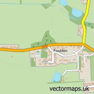
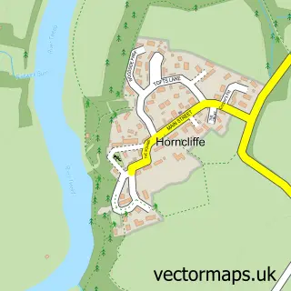
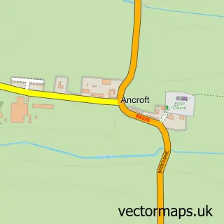
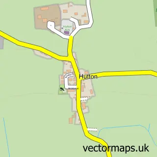
Nearby street map samples around Berwick-upon-Tweed

More street maps in Northumberland
750 metre map area coverage
Boundary, postcode and point of interest information for the 750m x 750m rectangle centred on this sample map.
Boundaries containing map centre
Constituency: North Northumberland Co Const
District: Northumberland
Icb: NHS North East and North Cumbria ICB
Parish: Berwick-upon-Tweed CP
Police Force: northumberland
Postcode District: TD15
Postcode Sector: TD15 1
Nearby boundaries intersecting sample
Postcode Sector: TD15 2
Postcode coverage
POI category counts
Beauty Salon: 21
Cafe: 16
Hotel: 16
Beauty And Spa: 11
Bed And Breakfast: 10
Charity Organization: 9
Hair Salon: 9
Restaurant: 9
Landmark And Historical Building: 8
Pub: 8
Sample points of interest
- Parade School Guest Rooms
- Greaves West & Ayre
- Holy Trinity Church
- Holy Trinity and St Mary
- Berwick Animal Rescue Kennels
- Northumberland Antiques
- Abstract Berwick
- Artoluso
- Berwick Gymnasium Arts Fellowship
- Fieldhouse Gallery
- Pier Red
- Berwick Framing
Create a larger editable map of Berwick-upon-Tweed
This sample shows only a 750 metre area. To create a larger map of Berwick-upon-Tweed, use our map builder to choose your own coverage area, add titles and download editable SVG, PDF and PNG files.
Create a custom map of Berwick-upon-Tweed