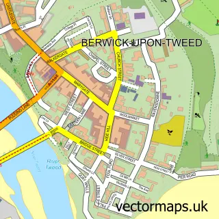
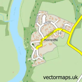
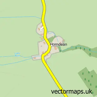
This East Ord street map is a detailed vector street map covering a 750m x 750m area. Select a larger area to create and download your own vector street map of East Ord.
The 750-metre map sample for East Ord covers 139 mapped buildings and approximately 14.2 km of road detail, of which 10 named roads are named. The immediate area includes 2 GP surgeries within 2 miles and 6 MOT stations within 2 miles. The wider area around East Ord features 5 tourism points of interest and 1 campsite within 2 miles. To create a larger or custom map of East Ord, the map builder lets you define your own coverage area and download editable SVG, PDF and PNG files.
Create a larger editable map of East Ord
Choose any area you need and generate a high-quality vector map instantly. Perfect for print, planning, design, business and personal use.

This East Ord street map in Northumberland is available as downloadable SVG, PDF and PNG map files, or as a printed map for planning, business, display, education, local information and design work. You can also create a larger custom map area using the map selector.
What this East Ord map sample shows
East Ord lies within Berwick-Upon-Tweed Cp parish, part of Berwick West With Ord ward in the Northumberland local authority area. The postcode geography for this area includes the TD postcode area, the TD15 postcode district and the TD15 2 postcode sector. Residents fall under the Nhs North East And North Cumbria Integrated Care Board for NHS services.
Local features near East Ord
Within 2 milesAmenities and services in and around East Ord.
Administrative and postcode information for East Ord
East Ord lies within Berwick-Upon-Tweed Cp parish, part of Berwick West With Ord ward in the Northumberland local authority area. The postcode geography for this area includes the TD postcode area, the TD15 postcode district and the TD15 2 postcode sector. Residents fall under the Nhs North East And North Cumbria Integrated Care Board for NHS services.
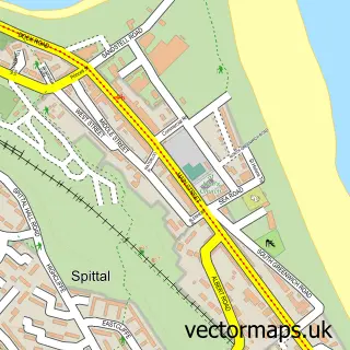
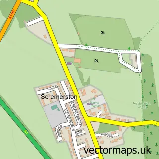
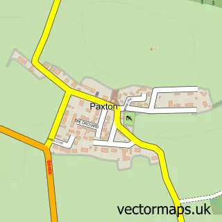
Nearby street map samples around East Ord

More street maps in Northumberland
750 metre map area coverage
Boundary, postcode and point of interest information for the 750m x 750m rectangle centred on this sample map.
Boundaries containing map centre
Constituency: North Northumberland Co Const
District: Northumberland
Icb: NHS North East and North Cumbria ICB
Parish: Ord CP
Police Force: northumberland
Postcode District: TD15
Postcode Sector: TD15 2
Nearby boundaries intersecting sample
Postcode Sector: TD15 1
Postcode coverage
POI category counts
Park: 4
Post Office: 3
Automotive Repair: 2
Nursery And Gardening: 2
Acupuncture: 1
Bar: 1
Bar And Grill Restaurant: 1
Campground: 1
Car Dealer: 1
Holiday Rental Home: 1
Sample points of interest
- Hope Floats
- Berwick -Upon-Tweed MOT and Service Centre
- Budget Windscreens UK
- Ord House Lounge Bar & Grill
- Ord House Lounge Bar & Grill
- Ord House Country Park
- Goodwood Sportscars
- Elm Bank Coastal Park Caravan & Lodge Sales
- Ord House Country Park
- Berwick Garden Centre
- East Ord Garden Centre
- InPost
Create a larger editable map of East Ord
This sample shows only a 750 metre area. To create a larger map of East Ord, use our map builder to choose your own coverage area, add titles and download editable SVG, PDF and PNG files.
Create a custom map of East Ord