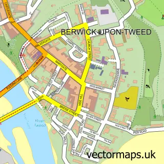
This Spittal street map is a detailed vector street map covering a 750m x 750m area. Select a larger area to create and download your own vector street map of Spittal.
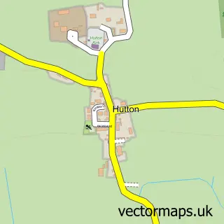
The 750-metre map sample for Spittal covers 80 mapped buildings and approximately 17.1 km of road detail, of which 22 named roads are named. The immediate area includes 1 school, 2 GP surgeries within 2 miles, 2 pubs and 2 MOT stations, with 6 within 2 miles. The wider area around Spittal features 5 tourism points of interest, 6 food and drink venues and 4 hotels. To create a larger or custom map of Spittal, the map builder lets you define your own coverage area and download editable SVG, PDF and PNG files.
Create a larger editable map of Spittal
Choose any area you need and generate a high-quality vector map instantly. Perfect for print, planning, design, business and personal use.

This Spittal street map in Northumberland is available as downloadable SVG, PDF and PNG map files, or as a printed map for planning, business, display, education, local information and design work. You can also create a larger custom map area using the map selector.
What this Spittal map sample shows
Spittal lies within Berwick-Upon-Tweed Cp parish, part of Berwick East ward in the Northumberland local authority area. The postcode geography for this area includes the TD postcode area, the TD15 postcode district and the TD15 1 postcode sector. Residents fall under the Nhs North East And North Cumbria Integrated Care Board for NHS services.
Local features near Spittal
Within 2 milesAmenities and services in and around Spittal.
Administrative and postcode information for Spittal
Spittal lies within Berwick-Upon-Tweed Cp parish, part of Berwick East ward in the Northumberland local authority area. The postcode geography for this area includes the TD postcode area, the TD15 postcode district and the TD15 1 postcode sector. Residents fall under the Nhs North East And North Cumbria Integrated Care Board for NHS services.
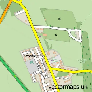
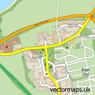
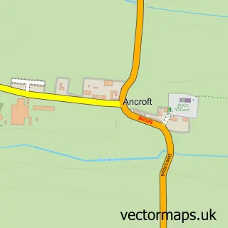
Nearby street map samples around Spittal

More street maps in Northumberland
750 metre map area coverage
Boundary, postcode and point of interest information for the 750m x 750m rectangle centred on this sample map.
Boundaries containing map centre
Constituency: North Northumberland Co Const
District: Northumberland
Icb: NHS North East and North Cumbria ICB
Parish: Berwick-upon-Tweed CP
Police Force: northumberland
Postcode District: TD15
Postcode Sector: TD15 1
Nearby boundaries intersecting sample
Postcode Sector: TD15 2
Postcode coverage
POI category counts
Bed And Breakfast: 4
Beach: 3
Cafe: 3
Hotel: 3
Automotive Repair: 2
Building Supply Store: 2
Business Management Services: 2
Campground: 2
Charity Organization: 2
Elementary School: 2
Sample points of interest
- Town & Coast Holiday Homes
- Berwick Sailing Club
- Manualfinder
- The Multi Fuel Stove Company
- A&DMotor repairs
- T I Motorcycles
- Bamburgh Beach.
- Little Beach, Spittal
- Spittal Beach
- Elixir
- Caroline House
- Eastwatch Guesthouse
Create a larger editable map of Spittal
This sample shows only a 750 metre area. To create a larger map of Spittal, use our map builder to choose your own coverage area, add titles and download editable SVG, PDF and PNG files.
Create a custom map of Spittal