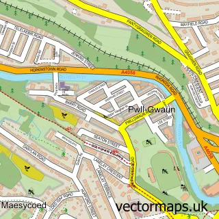
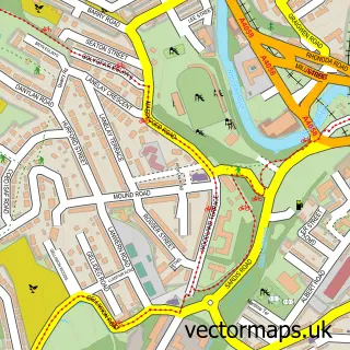
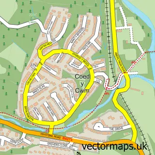
This Hopkinstown street map is a detailed vector street map covering a 750m x 750m area. Select a larger area to create and download your own vector street map of Hopkinstown.
The 750-metre map sample for Hopkinstown covers 249 mapped buildings and approximately 18.8 km of road detail, of which 33 named roads are named. The immediate area includes 1 school, 3 GP surgeries within 2 miles, 1 pub and 1 MOT station, with 10 within 2 miles. The wider area around Hopkinstown features 1 tourism point of interest and 1 food and drink venue. To create a larger or custom map of Hopkinstown, the map builder lets you define your own coverage area and download editable SVG, PDF and PNG files.
Create a larger editable map of Hopkinstown
Choose any area you need and generate a high-quality vector map instantly. Perfect for print, planning, design, business and personal use.

This Hopkinstown street map in Mid Glamorgan is available as downloadable SVG, PDF and PNG map files, or as a printed map for planning, business, display, education, local information and design work. You can also create a larger custom map area using the map selector.
What this Hopkinstown map sample shows
Hopkinstown lies within Pontypridd Town Community parish, part of Trallwng ward in the Rhondda Cynon Taf - Rhondda Cynon Taf local authority area. The postcode geography for this area includes the CF postcode area, the CF37 postcode district and the CF37 4 postcode sector. Residents fall under the Cwm Taf University Health Board for NHS services.
Local features near Hopkinstown
Within 2 milesAmenities and services in and around Hopkinstown.
Administrative and postcode information for Hopkinstown
Hopkinstown lies within Pontypridd Town Community parish, part of Trallwng ward in the Rhondda Cynon Taf - Rhondda Cynon Taf local authority area. The postcode geography for this area includes the CF postcode area, the CF37 postcode district and the CF37 4 postcode sector. Residents fall under the Cwm Taf University Health Board for NHS services.
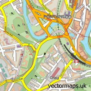
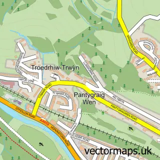
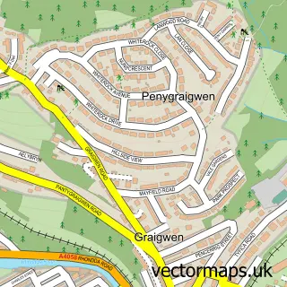
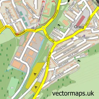
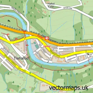
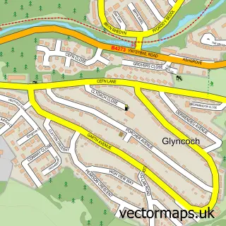
Nearby street map samples around Hopkinstown

More street maps in Mid Glamorgan
750 metre map area coverage
Boundary, postcode and point of interest information for the 750m x 750m rectangle centred on this sample map.
Boundaries containing map centre
Constituency: Pontypridd Co Const
District: Rhondda Cynon Taf - Rhondda Cynon Taf
Icb: Cwm Taf University
Parish: Pontypridd Town Community
Police Force: south wales
Postcode District: CF37
Postcode Sector: CF37 2
Nearby boundaries intersecting sample
Postcode Sector: CF37 1
Postcode coverage
POI category counts
Convenience Store: 3
Automotive Repair: 2
Emissions Inspection: 2
Hair Salon: 2
Attractions And Activities: 1
Baptist Church: 1
Beauty And Spa: 1
Beauty Product Supplier: 1
Building Supply Store: 1
Business Consulting: 1
Sample points of interest
- Dan Y Lan Field
- DMSMOT Centre
- Graigwen Service Station
- Bethany Baptist Church Pwllgwaun
- Lads & lasses
- Opulent Tranquility Beauty by Maria
- Pontypridd Skip Hire
- Third Way Coaching
- Ming Hong
- Pontypridd Chiropractic
- Hopkinstown Community Hall
- Premier Telelkebir Road Convenience Store
Create a larger editable map of Hopkinstown
This sample shows only a 750 metre area. To create a larger map of Hopkinstown, use our map builder to choose your own coverage area, add titles and download editable SVG, PDF and PNG files.
Create a custom map of Hopkinstown