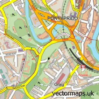
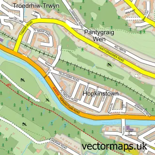
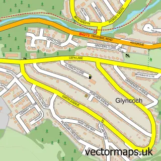
This Y Graig street map is a detailed vector street map covering a 750m x 750m area. Select a larger area to create and download your own vector street map of Y Graig.
The 750-metre map sample for Y Graig covers 228 mapped buildings and approximately 17.5 km of road detail, of which 38 named roads are named. The immediate area includes 1 school, 1 GP surgery, with 3 within 2 miles, 1 pub and 1 MOT station, with 12 within 2 miles. The wider area around Y Graig features 2 tourism points of interest and 3 food and drink venues. To create a larger or custom map of Y Graig, the map builder lets you define your own coverage area and download editable SVG, PDF and PNG files.
Create a larger editable map of Y Graig
Choose any area you need and generate a high-quality vector map instantly. Perfect for print, planning, design, business and personal use.

This Y Graig street map in Mid Glamorgan is available as downloadable SVG, PDF and PNG map files, or as a printed map for planning, business, display, education, local information and design work. You can also create a larger custom map area using the map selector.
What this Y Graig map sample shows
Y Graig lies within Pontypridd Town Community parish, part of Trallwng ward in the Rhondda Cynon Taf - Rhondda Cynon Taf local authority area. The postcode geography for this area includes the CF postcode area, the CF37 postcode district and the CF37 4 postcode sector. Residents fall under the Cwm Taf University Health Board for NHS services.
Local features near Y Graig
Within 2 milesAmenities and services in and around Y Graig.
Administrative and postcode information for Y Graig
The local authority covering Y Graig is Rhondda Cynon Taf - Rhondda Cynon Taf, within the county of Mid Glamorgan. The settlement lies within Trallwng ward and Pontypridd Town Community civil parish. The CF37 postcode district and CF37 4 postcode sector serve the immediate area. NHS provision in the area is delivered through Cwm Taf Morgannwg University Health Board.
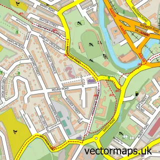
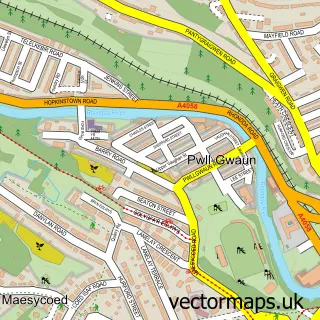
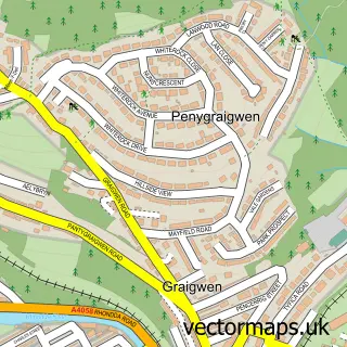
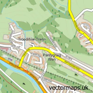
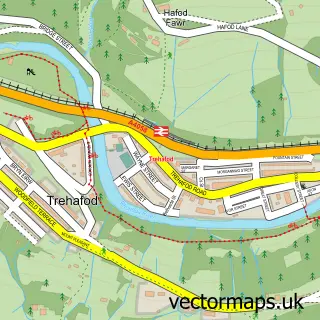
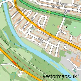
Nearby street map samples around Y Graig

More street maps in Mid Glamorgan
750 metre map area coverage
Boundary, postcode and point of interest information for the 750m x 750m rectangle centred on this sample map.
Boundaries containing map centre
Constituency: Pontypridd Co Const
District: Rhondda Cynon Taf - Rhondda Cynon Taf
Icb: Cwm Taf University
Parish: Pontypridd Town Community
Police Force: south wales
Postcode District: CF37
Postcode Sector: CF37 1
Nearby boundaries intersecting sample
No additional intersecting boundaries found.
Postcode coverage
POI category counts
Convenience Store: 3
Bar: 2
Building Supply Store: 2
Cafe: 2
Charity Organization: 2
Community Services Non Profits: 2
Contractor: 2
Hospital: 2
Hvac Services: 2
Industrial Equipment: 2
Sample points of interest
- Graig Environmental Recycling Services
- OHC Glass Art Studio
- Graig Convenience (SWAP)
- V&S Autos
- The Victoria Inn Pontypridd
- Victoria Inn
- Delight barbers | Pontypridd
- Laurie's Salon
- Rhondda Beer Co
- National Plastics
- Pontypridd Plastic Supplies
- Charter Vehicle Hire
Create a larger editable map of Y Graig
This sample shows only a 750 metre area. To create a larger map of Y Graig, use our map builder to choose your own coverage area, add titles and download editable SVG, PDF and PNG files.
Create a custom map of Y Graig