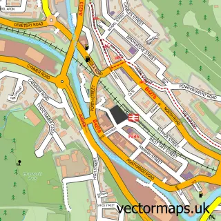
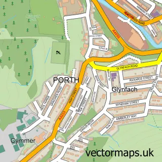
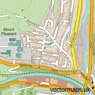
This Trehafod street map is a detailed vector street map covering a 750m x 750m area. Select a larger area to create and download your own vector street map of Trehafod.
The 750-metre map sample for Trehafod covers 134 mapped buildings and approximately 20.8 km of road detail, of which 20 named roads are named. The immediate area includes 1 school, 1 railway station, 2 GP surgeries within 2 miles and 2 pubs among other local services. The wider area around Trehafod features 3 food and drink venues and 1 hotel. To create a larger or custom map of Trehafod, the map builder lets you define your own coverage area and download editable SVG, PDF and PNG files.
Create a larger editable map of Trehafod
Choose any area you need and generate a high-quality vector map instantly. Perfect for print, planning, design, business and personal use.

This Trehafod street map in Mid Glamorgan is available as downloadable SVG, PDF and PNG map files, or as a printed map for planning, business, display, education, local information and design work. You can also create a larger custom map area using the map selector.
What this Trehafod map sample shows
Trehafod lies within Trehafod Community parish, part of Cymmer ward in the Rhondda Cynon Taf - Rhondda Cynon Taf local authority area. The postcode geography for this area includes the CF postcode area, the CF37 postcode district and the CF37 2 postcode sector. Residents fall under the Cwm Taf University Health Board for NHS services.
Local features near Trehafod
Within 2 milesAmenities and services in and around Trehafod.
Administrative and postcode information for Trehafod
The local authority covering Trehafod is Rhondda Cynon Taf - Rhondda Cynon Taf, within the county of Mid Glamorgan. The settlement lies within Cymmer ward and Trehafod Community civil parish. The CF37 postcode district and CF37 2 postcode sector serve the immediate area. NHS provision in the area is delivered through Cwm Taf Morgannwg University Health Board.
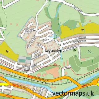
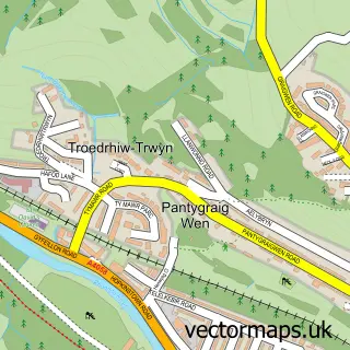
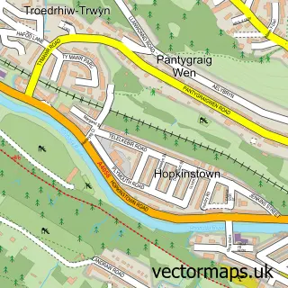
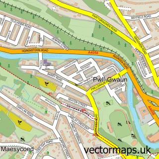
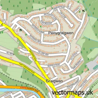
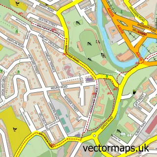
Nearby street map samples around Trehafod

More street maps in Mid Glamorgan
750 metre map area coverage
Boundary, postcode and point of interest information for the 750m x 750m rectangle centred on this sample map.
Boundaries containing map centre
Constituency: Rhondda and Ogmore Co Const
District: Rhondda Cynon Taf - Rhondda Cynon Taf
Icb: Cwm Taf University
Parish: Trehafod Community
Police Force: south wales
Postcode District: CF37
Postcode Sector: CF37 2
Nearby boundaries intersecting sample
Constituency: Pontypridd Co Const
Parish: Pontypridd Town Community, Porth Community
Postcode District: CF39
Postcode Sector: CF39 9
Postcode coverage
POI category counts
Convenience Store: 3
Bed And Breakfast: 2
Pub: 2
Train Station: 2
Animal Shelter: 1
Atms: 1
Barber: 1
Business: 1
Clothing Store: 1
Day Care Preschool: 1
Sample points of interest
- K9 Resort Boarding & Daycare
- Morrisons Daily - Trehafod Trehafod Road, Trehafod
- Ghekko rags Lost Boys Club Barbers&Clothing
- Bertie
- Ty Gwyn
- Doc Bright
- ukkilt
- Morrisons Daily
- Pleasant view store
- Premier Pleasant View Stores
- Hi-Five pre-school and toddler group
- ADC School of Motoring
Create a larger editable map of Trehafod
This sample shows only a 750 metre area. To create a larger map of Trehafod, use our map builder to choose your own coverage area, add titles and download editable SVG, PDF and PNG files.
Create a custom map of Trehafod