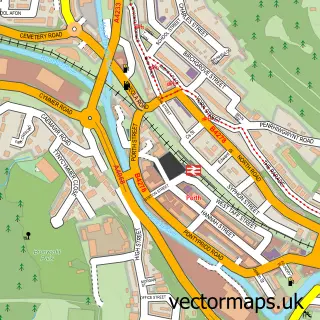
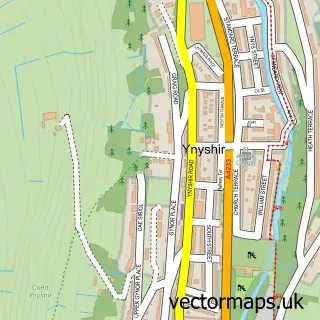
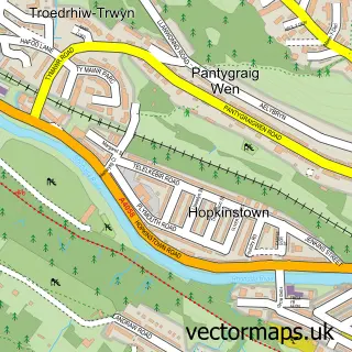
This Llwyncelyn street map is a detailed vector street map covering a 750m x 750m area. Select a larger area to create and download your own vector street map of Llwyncelyn.
The 750-metre map sample for Llwyncelyn covers 177 mapped buildings and approximately 21.3 km of road detail, of which 26 named roads are named. The immediate area includes 1 school, 1 GP surgery within 2 miles and 6 MOT stations within 2 miles. To create a larger or custom map of Llwyncelyn, the map builder lets you define your own coverage area and download editable SVG, PDF and PNG files.
Create a larger editable map of Llwyncelyn
Choose any area you need and generate a high-quality vector map instantly. Perfect for print, planning, design, business and personal use.

This Llwyncelyn street map in Mid Glamorgan is available as downloadable SVG, PDF and PNG map files, or as a printed map for planning, business, display, education, local information and design work. You can also create a larger custom map area using the map selector.
What this Llwyncelyn map sample shows
Llwyncelyn lies within Porth Community parish, part of Porth ward in the Rhondda Cynon Taf - Rhondda Cynon Taf local authority area. The postcode geography for this area includes the CF postcode area, the CF39 postcode district and the CF39 9 postcode sector. Residents fall under the Cwm Taf University Health Board for NHS services.
Local features near Llwyncelyn
Within 2 milesAmenities and services in and around Llwyncelyn.
Administrative and postcode information for Llwyncelyn
The local authority covering Llwyncelyn is Rhondda Cynon Taf - Rhondda Cynon Taf, within the county of Mid Glamorgan. The settlement lies within Porth ward and Porth Community civil parish. The CF39 postcode district and CF39 9 postcode sector serve the immediate area. NHS provision in the area is delivered through Cwm Taf Morgannwg University Health Board.
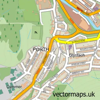
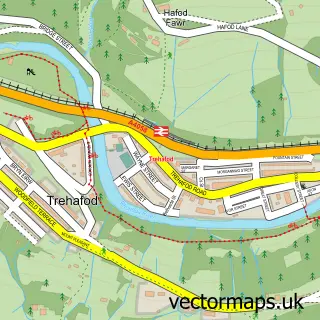
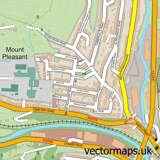
Nearby street map samples around Llwyncelyn

More street maps in Mid Glamorgan
750 metre map area coverage
Boundary, postcode and point of interest information for the 750m x 750m rectangle centred on this sample map.
Boundaries containing map centre
Constituency: Rhondda and Ogmore Co Const
District: Rhondda Cynon Taf - Rhondda Cynon Taf
Icb: Cwm Taf University
Parish: Porth Community
Police Force: south wales
Postcode District: CF39
Postcode Sector: CF39 9
Nearby boundaries intersecting sample
Parish: Cymmer Community, Trehafod Community
Postcode District: CF37
Postcode Sector: CF37 2
Postcode coverage
POI category counts
Automotive Repair: 3
Elementary School: 2
Gas Station: 2
Beauty Salon: 1
Building Supply Store: 1
Charity Organization: 1
Chinese Restaurant: 1
Cleaning Services: 1
Contractor: 1
Convenience Store: 1
Sample points of interest
- GLE 4x4
- I D Autos Ltd
- S & F Motors
- Sculptures
- Multichoice Stoves
- Rhondda Breast Friends
- Ying Kitchen
- Servicemaster
- Peter Simmons Construction
- Londis
- KlutchKontrol Driving School
- Llwyncelyn Infants School
Create a larger editable map of Llwyncelyn
This sample shows only a 750 metre area. To create a larger map of Llwyncelyn, use our map builder to choose your own coverage area, add titles and download editable SVG, PDF and PNG files.
Create a custom map of Llwyncelyn