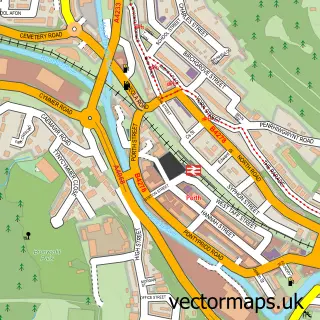
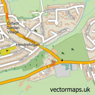
This Trebanog street map is a detailed vector street map covering a 750m x 750m area. Select a larger area to create and download your own vector street map of Trebanog.
The 750-metre map sample for Trebanog covers 228 mapped buildings and approximately 9.3 km of road detail, of which 15 named roads are named. The immediate area includes 1 GP surgery within 2 miles, 1 pub and 8 MOT stations within 2 miles. The wider area around Trebanog features 1 food and drink venue. To create a larger or custom map of Trebanog, the map builder lets you define your own coverage area and download editable SVG, PDF and PNG files.
Create a larger editable map of Trebanog
Choose any area you need and generate a high-quality vector map instantly. Perfect for print, planning, design, business and personal use.

This Trebanog street map in Mid Glamorgan is available as downloadable SVG, PDF and PNG map files, or as a printed map for planning, business, display, education, local information and design work. You can also create a larger custom map area using the map selector.
What this Trebanog map sample shows
Trebanog lies within Cymmer Community parish, part of Cymmer ward in the Rhondda Cynon Taf - Rhondda Cynon Taf local authority area. The postcode geography for this area includes the CF postcode area, the CF39 postcode district and the CF39 9 postcode sector. Residents fall under the Cwm Taf University Health Board for NHS services.
Local features near Trebanog
Within 2 milesAmenities and services in and around Trebanog.
Administrative and postcode information for Trebanog
The local authority covering Trebanog is Rhondda Cynon Taf - Rhondda Cynon Taf, within the county of Mid Glamorgan. The settlement lies within Cymmer ward and Cymmer Community civil parish. The CF39 postcode district and CF39 9 postcode sector serve the immediate area. NHS provision in the area is delivered through Cwm Taf Morgannwg University Health Board.
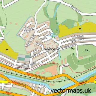
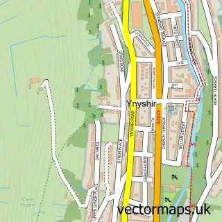
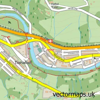
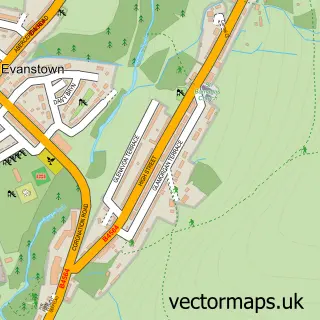
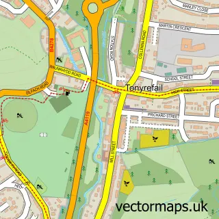
Nearby street map samples around Trebanog

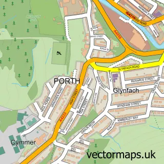
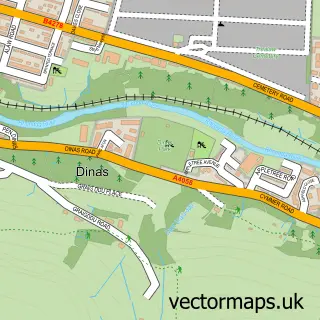
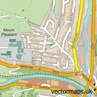
More street maps in Mid Glamorgan
750 metre map area coverage
Boundary, postcode and point of interest information for the 750m x 750m rectangle centred on this sample map.
Boundaries containing map centre
Constituency: Rhondda and Ogmore Co Const
District: Rhondda Cynon Taf - Rhondda Cynon Taf
Icb: Cwm Taf University
Parish: Cymmer Community
Police Force: south wales
Postcode District: CF39
Postcode Sector: CF39 9
Nearby boundaries intersecting sample
Parish: Pen-y-graig Community, Tonyrefail Community
Postcode District: CF40
Postcode Sector: CF39 8, CF40 1
Postcode coverage
POI category counts
Convenience Store: 3
Shipping Center: 2
Accommodation: 1
Atms: 1
Automotive Repair: 1
Community Center: 1
Currency Exchange: 1
Driving School: 1
Education: 1
Energy Company: 1
Sample points of interest
- Trebanog
- PayPoint
- J.L.A Autoservices
- Waun-wen Community Recreation Centre
- Premier
- Premier Trebanog Stores
- Rhiwgarn Stores
- Post Office Travel Money
- wrightway driving school
- Rhondda Cynon Taff Council
- Connected Kerb Charging Stations
- Domino's Pizza Delivery and Takeaway Trebanog
Create a larger editable map of Trebanog
This sample shows only a 750 metre area. To create a larger map of Trebanog, use our map builder to choose your own coverage area, add titles and download editable SVG, PDF and PNG files.
Create a custom map of Trebanog