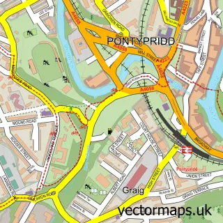
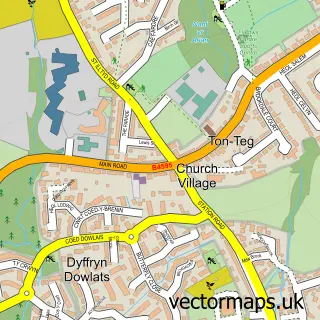
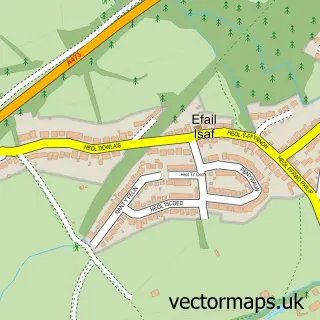
This Hawthorn street map is a detailed vector street map covering a 750m x 750m area. Select a larger area to create and download your own vector street map of Hawthorn.
The 750-metre map sample for Hawthorn covers 281 mapped buildings and approximately 19.7 km of road detail, of which 24 named roads are named. The immediate area includes 3 GP surgeries within 2 miles, 1 pub and 1 MOT station, with 13 within 2 miles. The wider area around Hawthorn features 1 tourism point of interest and 1 food and drink venue. To create a larger or custom map of Hawthorn, the map builder lets you define your own coverage area and download editable SVG, PDF and PNG files.
Create a larger editable map of Hawthorn
Choose any area you need and generate a high-quality vector map instantly. Perfect for print, planning, design, business and personal use.

This Hawthorn street map in Mid Glamorgan is available as downloadable SVG, PDF and PNG map files, or as a printed map for planning, business, display, education, local information and design work. You can also create a larger custom map area using the map selector.
What this Hawthorn map sample shows
Hawthorn lies within Pontypridd Town Community parish, part of Hawthorn ward in the Rhondda Cynon Taf - Rhondda Cynon Taf local authority area. The postcode geography for this area includes the CF postcode area, the CF37 postcode district and the CF37 5 postcode sector. Residents fall under the Cwm Taf University Health Board for NHS services.
Local features near Hawthorn
Within 2 milesAmenities and services in and around Hawthorn.
Administrative and postcode information for Hawthorn
Hawthorn lies within Pontypridd Town Community parish, part of Hawthorn ward in the Rhondda Cynon Taf - Rhondda Cynon Taf local authority area. The postcode geography for this area includes the CF postcode area, the CF37 postcode district and the CF37 5 postcode sector. Residents fall under the Cwm Taf University Health Board for NHS services.
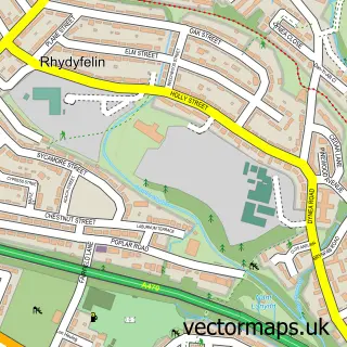
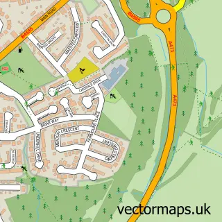
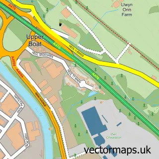
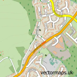
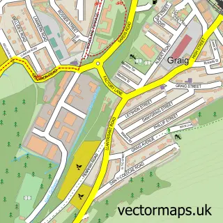
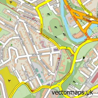
Nearby street map samples around Hawthorn

More street maps in Mid Glamorgan
750 metre map area coverage
Boundary, postcode and point of interest information for the 750m x 750m rectangle centred on this sample map.
Boundaries containing map centre
Constituency: Pontypridd Co Const
District: Rhondda Cynon Taf - Rhondda Cynon Taf
Icb: Cwm Taf University
Parish: Pontypridd Town Community
Police Force: south wales
Postcode District: CF37
Postcode Sector: CF37 5
Nearby boundaries intersecting sample
Parish: Llantwit Fardre Community
Postcode District: CF38
Postcode Sector: CF37 1, CF38 1
Postcode coverage
POI category counts
Car Rental Agency: 3
Sports Club And League: 3
Automotive Services And Repair: 2
Church Cathedral: 2
Energy Company: 2
Gym: 2
Professional Services: 2
Sports And Recreation Venue: 2
Ambulance And Ems Services: 1
Arts And Entertainment: 1
Sample points of interest
- Hawthorn Ambulance Station
- Stuart Watkins Close Up Magician
- Jamil Indian Restaurant
- Mai Wah
- Hawthorn Garage
- Laptop Repair Point
- None
- Knockout barbers
- Ladbrokes
- WJ Gardens
- Car Depot
- American Car Weddings
Create a larger editable map of Hawthorn
This sample shows only a 750 metre area. To create a larger map of Hawthorn, use our map builder to choose your own coverage area, add titles and download editable SVG, PDF and PNG files.
Create a custom map of Hawthorn