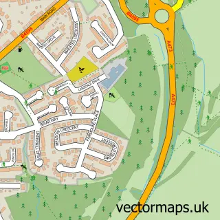
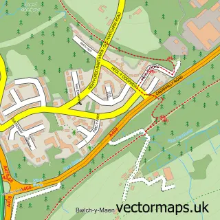
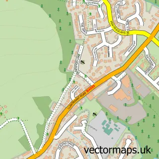
This Upper Boat street map is a detailed vector street map covering a 750m x 750m area. Select a larger area to create and download your own vector street map of Upper Boat.
The 750-metre map sample for Upper Boat covers 73 mapped buildings and approximately 17.1 km of road detail, of which 10 named roads are named. The immediate area includes 3 GP surgeries within 2 miles and 1 MOT station, with 8 within 2 miles. The wider area around Upper Boat features 2 tourism points of interest. To create a larger or custom map of Upper Boat, the map builder lets you define your own coverage area and download editable SVG, PDF and PNG files.
Create a larger editable map of Upper Boat
Choose any area you need and generate a high-quality vector map instantly. Perfect for print, planning, design, business and personal use.

This Upper Boat street map in Mid Glamorgan is available as downloadable SVG, PDF and PNG map files, or as a printed map for planning, business, display, education, local information and design work. You can also create a larger custom map area using the map selector.
What this Upper Boat map sample shows
Upper Boat lies within Llantwit Fardre Community parish, part of Ton-Teg ward in the Rhondda Cynon Taf - Rhondda Cynon Taf local authority area. The postcode geography for this area includes the CF postcode area, the CF38 postcode district and the CF38 1 postcode sector. Residents fall under the Cwm Taf University Health Board for NHS services.
Local features near Upper Boat
Within 2 milesAmenities and services in and around Upper Boat.
Administrative and postcode information for Upper Boat
The local authority covering Upper Boat is Rhondda Cynon Taf - Rhondda Cynon Taf, within the county of Mid Glamorgan. The settlement lies within Ton-Teg ward and Llantwit Fardre Community civil parish. The CF38 postcode district and CF38 1 postcode sector serve the immediate area. NHS provision in the area is delivered through Cwm Taf Morgannwg University Health Board.
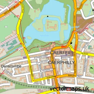
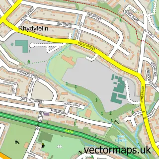
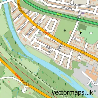
Nearby street map samples around Upper Boat

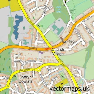
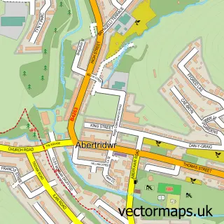
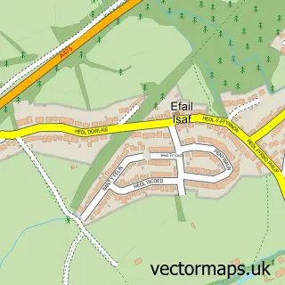
More street maps in Mid Glamorgan
750 metre map area coverage
Boundary, postcode and point of interest information for the 750m x 750m rectangle centred on this sample map.
Boundaries containing map centre
Constituency: Pontypridd Co Const
District: Rhondda Cynon Taf - Rhondda Cynon Taf
Icb: Cwm Taf University
Parish: Pontypridd Town Community
Police Force: south wales
Postcode District: CF37
Postcode Sector: CF37 5
Nearby boundaries intersecting sample
Constituency: Cardiff North Boro Const
Parish: Llantwit Fardre Community, Taffs Well Community
Postcode District: CF15
Postcode Sector: CF15 7
Postcode coverage
POI category counts
Automotive Repair: 5
Car Dealer: 3
Sports Club And League: 3
Building Supply Store: 2
Freight And Cargo Service: 2
Industrial Equipment: 2
Plumbing: 2
Amusement Park: 1
Auto Body Shop: 1
Automotive: 1
Sample points of interest
- Treforest Escape Rooms
- Treforest Accident Repair Centre
- Fiat Griffin Mill Garages
- GRIFFIN MILL PONTYPRIDD
- Jamie's Garage
- Maesycoed Motors
- Major MOT & Service Centre
- iRG Pontypridd
- Vista Rental Ltd.
- City Plumbing Supplies
- Toolstation Pontypridd
- Abarth Griffin Mill Garages
Create a larger editable map of Upper Boat
This sample shows only a 750 metre area. To create a larger map of Upper Boat, use our map builder to choose your own coverage area, add titles and download editable SVG, PDF and PNG files.
Create a custom map of Upper Boat