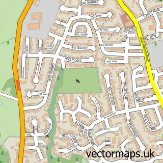
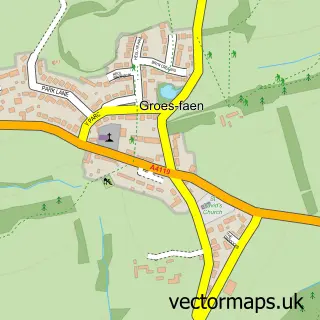
This Efail Isaf street map is a detailed vector street map covering a 750m x 750m area. Select a larger area to create and download your own vector street map of Efail Isaf.
The 750-metre map sample for Efail Isaf covers 198 mapped buildings and approximately 11.5 km of road detail, of which 9 named roads are named. The immediate area includes 5 GP surgeries within 2 miles, 1 pub and 4 MOT stations within 2 miles. The wider area around Efail Isaf features 1 food and drink venue. To create a larger or custom map of Efail Isaf, the map builder lets you define your own coverage area and download editable SVG, PDF and PNG files.
Create a larger editable map of Efail Isaf
Choose any area you need and generate a high-quality vector map instantly. Perfect for print, planning, design, business and personal use.

This Efail Isaf street map in Mid Glamorgan is available as downloadable SVG, PDF and PNG map files, or as a printed map for planning, business, display, education, local information and design work. You can also create a larger custom map area using the map selector.
What this Efail Isaf map sample shows
Efail Isaf lies within Llantwit Fardre Community parish, part of Llantwit Fardre ward in the Rhondda Cynon Taf - Rhondda Cynon Taf local authority area. The postcode geography for this area includes the CF postcode area, the CF38 postcode district and the CF38 1 postcode sector. Residents fall under the Cwm Taf University Health Board for NHS services.
Local features near Efail Isaf
Within 2 milesAmenities and services in and around Efail Isaf.
Administrative and postcode information for Efail Isaf
Efail Isaf lies within Llantwit Fardre Community parish, part of Llantwit Fardre ward in the Rhondda Cynon Taf - Rhondda Cynon Taf local authority area. The postcode geography for this area includes the CF postcode area, the CF38 postcode district and the CF38 1 postcode sector. Residents fall under the Cwm Taf University Health Board for NHS services.
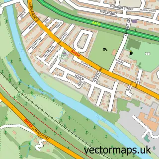
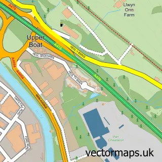
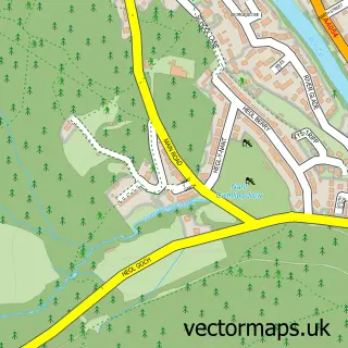
Nearby street map samples around Efail Isaf
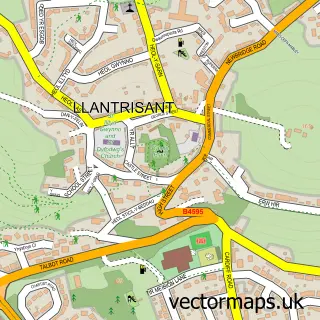

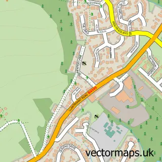
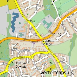
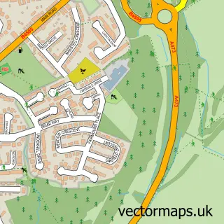
More street maps in Mid Glamorgan
750 metre map area coverage
Boundary, postcode and point of interest information for the 750m x 750m rectangle centred on this sample map.
Boundaries containing map centre
Constituency: Pontypridd Co Const
District: Rhondda Cynon Taf - Rhondda Cynon Taf
Icb: Cwm Taf University
Parish: Llantwit Fardre Community
Police Force: south wales
Postcode District: CF38
Postcode Sector: CF38 1
Nearby boundaries intersecting sample
Postcode Sector: CF38 2
Postcode coverage
POI category counts
Post Office: 2
Agriculture: 1
Automotive Repair: 1
Bathroom Remodeling: 1
Convenience Store: 1
Courier And Delivery Services: 1
Event Planning: 1
Machine And Tool Rentals: 1
Pub: 1
Sample points of interest
- Stable Dry Flax Bedding
- High Spec Autos
- Thomas Vaughan
- SPAR
- Evri ParcelShop
- Neuadd Efail Isaf
- Ryan Jones Plant Hire
- Efail Isaf Post Office
- Post Office-Efail Isaf
- Carpenters Arms
Create a larger editable map of Efail Isaf
This sample shows only a 750 metre area. To create a larger map of Efail Isaf, use our map builder to choose your own coverage area, add titles and download editable SVG, PDF and PNG files.
Create a custom map of Efail Isaf