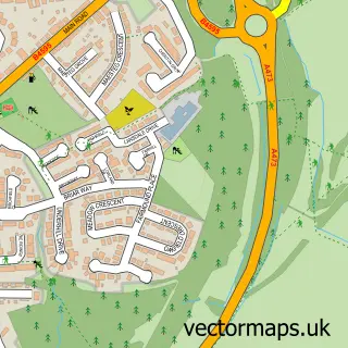
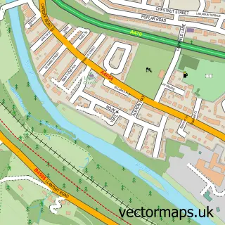
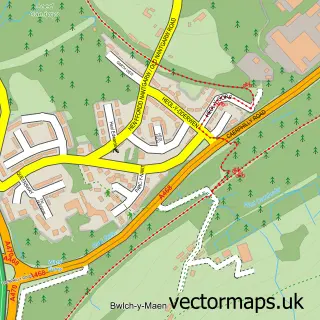
This Church Village street map is a detailed vector street map covering a 750m x 750m area. Select a larger area to create and download your own vector street map of Church Village.
The 750-metre map sample for Church Village covers 429 mapped buildings and approximately 15.7 km of road detail, of which 32 named roads are named. The immediate area includes 2 schools, 4 GP surgeries within 2 miles, 3 pubs and 9 MOT stations within 2 miles. The wider area around Church Village features 2 tourism points of interest and 4 food and drink venues. To create a larger or custom map of Church Village, the map builder lets you define your own coverage area and download editable SVG, PDF and PNG files.
Create a larger editable map of Church Village
Choose any area you need and generate a high-quality vector map instantly. Perfect for print, planning, design, business and personal use.

This Church Village street map in Mid Glamorgan is available as downloadable SVG, PDF and PNG map files, or as a printed map for planning, business, display, education, local information and design work. You can also create a larger custom map area using the map selector.
What this Church Village map sample shows
Church Village lies within Llantwit Fardre Community parish, part of Church Village ward in the Rhondda Cynon Taf - Rhondda Cynon Taf local authority area. The postcode geography for this area includes the CF postcode area, the CF38 postcode district and the CF38 1 postcode sector. Residents fall under the Cwm Taf University Health Board for NHS services.
Local features near Church Village
Within 2 milesAmenities and services in and around Church Village.
Administrative and postcode information for Church Village
Church Village lies within Llantwit Fardre Community parish, part of Church Village ward in the Rhondda Cynon Taf - Rhondda Cynon Taf local authority area. The postcode geography for this area includes the CF postcode area, the CF38 postcode district and the CF38 1 postcode sector. Residents fall under the Cwm Taf University Health Board for NHS services.
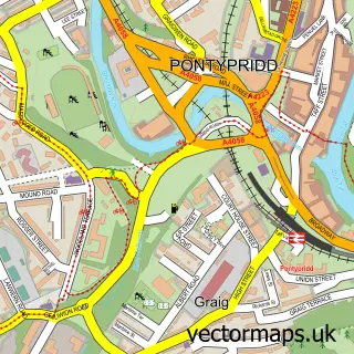
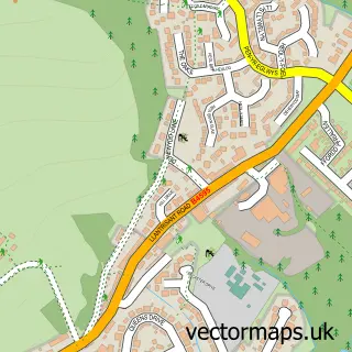
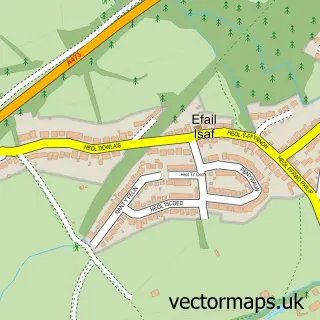
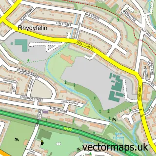
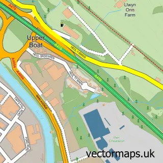
Nearby street map samples around Church Village

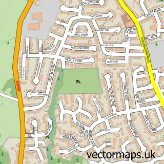
More street maps in Mid Glamorgan
750 metre map area coverage
Boundary, postcode and point of interest information for the 750m x 750m rectangle centred on this sample map.
Boundaries containing map centre
Constituency: Pontypridd Co Const
District: Rhondda Cynon Taf - Rhondda Cynon Taf
Icb: Cwm Taf University
Parish: Llantwit Fardre Community
Police Force: south wales
Postcode District: CF38
Postcode Sector: CF38 1
Nearby boundaries intersecting sample
Postcode Sector: CF38 2
Postcode coverage
POI category counts
Elementary School: 3
Professional Services: 3
Pub: 3
Automotive Repair: 2
Beauty And Spa: 2
Beauty Salon: 2
Church Cathedral: 2
Day Care Preschool: 2
Education: 2
Energy Company: 2
Sample points of interest
- Derwen Accountancy
- Reiki Being
- Cuddle Monkeys
- ATM (Post Office)
- Roadrunner Motorparts
- Newtown Accident Repair Services
- Pitman Smart Repairs
- Ivey Patisserie
- Lloyds Bank
- Lloyds Bank
- KJ Barbers Tonteg
- Beauty Enhanced Semi Permanent Make Up
Create a larger editable map of Church Village
This sample shows only a 750 metre area. To create a larger map of Church Village, use our map builder to choose your own coverage area, add titles and download editable SVG, PDF and PNG files.
Create a custom map of Church Village