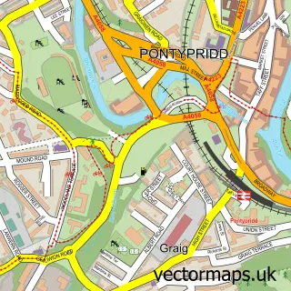
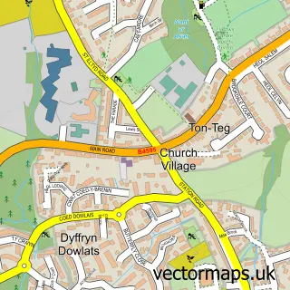
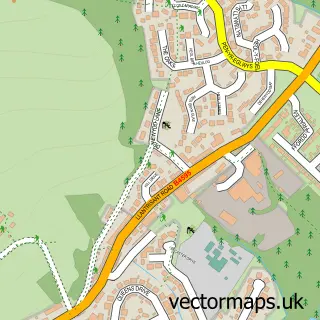
This Rhydyfelin street map is a detailed vector street map covering a 750m x 750m area. Select a larger area to create and download your own vector street map of Rhydyfelin.
The 750-metre map sample for Rhydyfelin covers 440 mapped buildings and approximately 22.0 km of road detail, of which 32 named roads are named. The immediate area includes 2 schools, 5 GP surgeries within 2 miles and 10 MOT stations within 2 miles. To create a larger or custom map of Rhydyfelin, the map builder lets you define your own coverage area and download editable SVG, PDF and PNG files.
Create a larger editable map of Rhydyfelin
Choose any area you need and generate a high-quality vector map instantly. Perfect for print, planning, design, business and personal use.

This Rhydyfelin street map in Mid Glamorgan is available as downloadable SVG, PDF and PNG map files, or as a printed map for planning, business, display, education, local information and design work. You can also create a larger custom map area using the map selector.
What this Rhydyfelin map sample shows
Rhydyfelin lies within Pontypridd Town Community parish, part of Hawthorn ward in the Rhondda Cynon Taf - Rhondda Cynon Taf local authority area. The postcode geography for this area includes the CF postcode area, the CF37 postcode district and the CF37 5 postcode sector. Residents fall under the Cwm Taf University Health Board for NHS services.
Local features near Rhydyfelin
Within 2 milesAmenities and services in and around Rhydyfelin.
Administrative and postcode information for Rhydyfelin
The local authority covering Rhydyfelin is Rhondda Cynon Taf - Rhondda Cynon Taf, within the county of Mid Glamorgan. The settlement lies within Hawthorn ward and Pontypridd Town Community civil parish. The CF37 postcode district and CF37 5 postcode sector serve the immediate area. NHS provision in the area is delivered through Cwm Taf Morgannwg University Health Board.
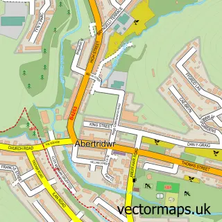
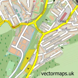
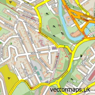
Nearby street map samples around Rhydyfelin

More street maps in Mid Glamorgan
750 metre map area coverage
Boundary, postcode and point of interest information for the 750m x 750m rectangle centred on this sample map.
Boundaries containing map centre
Constituency: Pontypridd Co Const
District: Rhondda Cynon Taf - Rhondda Cynon Taf
Icb: Cwm Taf University
Parish: Pontypridd Town Community
Police Force: south wales
Postcode District: CF37
Postcode Sector: CF37 5
Nearby boundaries intersecting sample
No additional intersecting boundaries found.
Postcode coverage
POI category counts
Bar: 2
Charity Organization: 2
High School: 2
Martial Arts Club: 2
Appliance Repair Service: 1
Auto Body Shop: 1
Church Cathedral: 1
Community Center: 1
Contractor: 1
Convenience Store: 1
Sample points of interest
- ServAir Limited
- Autostyle and Spraying
- None
- Rhydyfelin Non Pol Club
- RAOB Rhydyfellin Buffs - Mountain Heather Lodge
- Rhyfelin Regeneration Partnership
- Rhydyfelin Methodist Church
- Hawthorn Community Centre
- Phillips Property Management
- Morrisons Daily
- Valleys Kids
- The Pup Hub
Create a larger editable map of Rhydyfelin
This sample shows only a 750 metre area. To create a larger map of Rhydyfelin, use our map builder to choose your own coverage area, add titles and download editable SVG, PDF and PNG files.
Create a custom map of Rhydyfelin