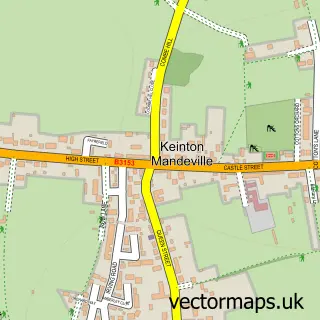
This Hornblotton Green street map is a detailed vector street map covering a 750m x 750m area. Select a larger area to create and download your own vector street map of Hornblotton Green.
The 750-metre map sample for Hornblotton Green covers 35 mapped buildings and approximately 4.4 km of road detail. To create a larger or custom map of Hornblotton Green, the map builder lets you define your own coverage area and download editable SVG, PDF and PNG files.
Create a larger editable map of Hornblotton Green
Choose any area you need and generate a high-quality vector map instantly. Perfect for print, planning, design, business and personal use.

This Hornblotton Green street map in Somerset is available as downloadable SVG, PDF and PNG map files, or as a printed map for planning, business, display, education, local information and design work. You can also create a larger custom map area using the map selector.
What this Hornblotton Green map sample shows
Hornblotton Green lies within West Bradley Cp (Det) parish, part of The Pennards And Ditcheat ward in the Somerset local authority area. The postcode geography for this area includes the BA postcode area, the BA4 postcode district and the BA4 6 postcode sector. Residents fall under the Nhs Somerset Integrated Care Board for NHS services.
Administrative and postcode information for Hornblotton Green
Hornblotton Green lies within West Bradley Cp (Det) parish, part of The Pennards And Ditcheat ward in the Somerset local authority area. The postcode geography for this area includes the BA postcode area, the BA4 postcode district and the BA4 6 postcode sector. Residents fall under the Nhs Somerset Integrated Care Board for NHS services.
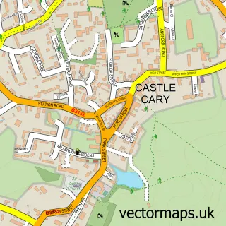
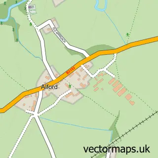
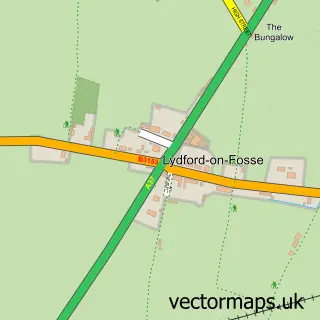
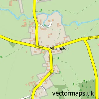
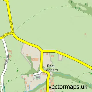
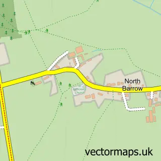
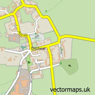
Nearby street map samples around Hornblotton Green

More street maps in Somerset
750 metre map area coverage
Boundary, postcode and point of interest information for the 750m x 750m rectangle centred on this sample map.
Boundaries containing map centre
Constituency: Frome and East Somerset Co Const
District: Somerset
Icb: NHS Somerset ICB
Parish: West Bradley CP (DET)
Police Force: avon and somerset
Postcode District: BA4
Postcode Sector: BA4 6
Nearby boundaries intersecting sample
No additional intersecting boundaries found.
Postcode coverage
POI category counts
Beer Bar: 1
Community Center: 1
Dog Park: 1
Grocery Store: 1
Library: 1
Professional Services: 1
Sample points of interest
- The Tap Room at Orchard Park Farm
- Hornblotton Village Hall
- Emma's Orchard
- Faye's Farm - Formerly Somerset Farm Traditional Breeds
- South Petherton Library
- Barry Cawston R.W.A photo
Create a larger editable map of Hornblotton Green
This sample shows only a 750 metre area. To create a larger map of Hornblotton Green, use our map builder to choose your own coverage area, add titles and download editable SVG, PDF and PNG files.
Create a custom map of Hornblotton Green