Vector Maps logo
Home Why it works Popular maps Districts Samples Customizer Create Your Map
VectorMaps.uk
Home Popular maps Districts Samples Customizer Create Your Map Privacy Disclaimer
Home / UK Maps / Ross and Cromarty / Ùige Map

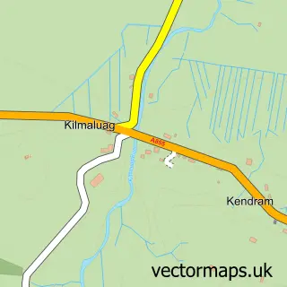
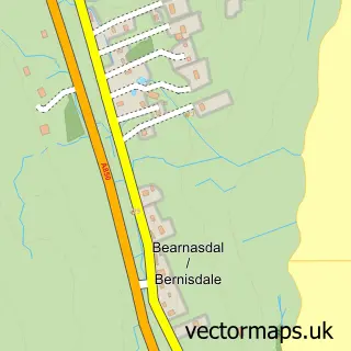
This Ùige street map is a detailed vector street map covering a 750m x 750m area. Select a larger area to create and download your own vector street map of Ùige.

Ùige is a village in Ross And Cromarty, in the Highlands And Islands of Scotland. Historically, the area formed part of Inverness-Shire. The settlement falls within the Ross, Skye And Lochaber parliamentary constituency. It is served by the IV51 postcode

The 750-metre map sample for Ùige covers 32 mapped buildings and approximately 10.0 km of road detail, of which 4 named roads are named. The wider area around Ùige features 1 campsite within 2 miles. To create a larger or custom map of Ùige, the map builder lets you define your own coverage area and download editable SVG, PDF and PNG files.

32Buildings
9.96 kmRoads
4Named roads
0Residents within 2 miles
Create your own

Create a larger editable map of Ùige

Choose any area you need and generate a high-quality vector map instantly. Perfect for print, planning, design, business and personal use.

Choose any location
Editable SVG files
Any size up to A0
PDF, PNG & more
Instant download
High quality guaranteed
Create My Custom Map
Secure, private & no credit card required
Ùige Vector Street Map
750m Sample
Ùige vector street map sample showing roads, buildings and local features in a 750 metre preview area
Buy Ùige Map Print from £12.95 Buy Ùige Digital Map from £6

This Ùige street map in Ross and Cromarty is available as downloadable SVG, PDF and PNG map files, or as a printed map for planning, business, display, education, local information and design work. You can also create a larger custom map area using the map selector.

What this Ùige map sample shows

Ùige lies within Highland parish, part of Eilean A Cheo ward in the Highland local authority area. The postcode geography for this area includes the IV postcode area, the IV51 postcode district and the IV51 9 postcode sector. Residents fall under the Highland for NHS services.

Local features near Ùige

Within 2 miles

Amenities and services in and around Ùige.

1 Campsites within 2 miles

Counts are approximate and based on publicly available data.

Administrative and postcode information for Ùige

The local authority covering Ùige is Highland, within the county of Ross And Cromarty. The settlement lies within Eilean A Cheo ward and Highland civil parish. The IV51 postcode district and IV51 9 postcode sector serve the immediate area. NHS provision in the area is delivered through Highland.

Parish HIGHLAND
Ward Eilean a Cheo
District / local authority Highland
County Ross and Cromarty
Historic county Inverness-shire
Postcode district IV51
Postcode sector IV51 9
Parliamentary constituency Ross, Skye and Lochaber
Region Highlands and Islands
Country Scotland

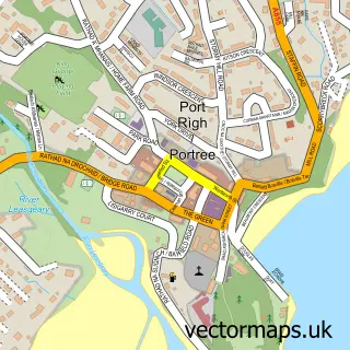
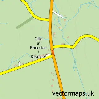
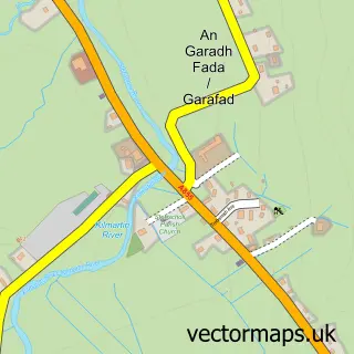
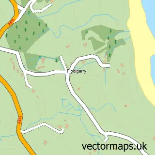
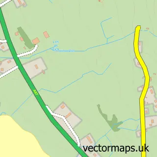
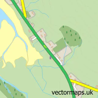
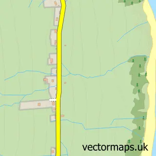
Nearby street map samples around Ùige

Street map sample of Portree, Ross and Cromarty Portree Town - Ross and Cromarty - 13.8 miles Street map sample of Inverness, Inverness Inverness City - Inverness - 79.7 miles Street map sample of Cille Mhoire, Ross and Cromarty Cille Mhoire Village - Ross and Cromarty - 3.9 miles Street map sample of Stafainn, Ross and Cromarty Stafainn Village - Ross and Cromarty - 6.3 miles Street map sample of Flòdaigearraidh, Ross and Cromarty Flòdaigearraidh Village - Ross and Cromarty - 6.4 miles Street map sample of Cille MoLuaig, Ross and Cromarty Cille MoLuaig Village - Ross and Cromarty - 6.8 miles Street map sample of Eyre, Ross and Cromarty Eyre Village - Ross and Cromarty - 7.1 miles Street map sample of Kensaleyre, Ross and Cromarty Kensaleyre Village - Ross and Cromarty - 7.8 miles Street map sample of Geary, Ross and Cromarty Geary Village - Ross and Cromarty - 8.1 miles Street map sample of Beàrnasdal, Ross and Cromarty Beàrnasdal Village - Ross and Cromarty - 8.7 miles

More street maps in Ross and Cromarty

Street map sample of Cille Mhoire, Ross and Cromarty Cille Mhoire Village - 3.9 miles Street map sample of Stafainn, Ross and Cromarty Stafainn Village - 6.3 miles Street map sample of Flòdaigearraidh, Ross and Cromarty Flòdaigearraidh Village - 6.4 miles Street map sample of Cille MoLuaig, Ross and Cromarty Cille MoLuaig Village - 6.8 miles Street map sample of Eyre, Ross and Cromarty Eyre Village - 7.1 miles

750 metre map area coverage

Boundary, postcode and point of interest information for the 750m x 750m rectangle centred on this sample map.

Boundaries containing map centre

Constituency: Inverness, Skye and West Ross-shire Co Const

District: Highland

Icb: Highland

Postcode District: IV51

Postcode Sector: IV51 9

Ward: Eilean a' Cheo Ward

Nearby boundaries intersecting sample

No additional intersecting boundaries found.

Postcode coverage

IV51 IV51 9

POI category counts

Bed And Breakfast: 2

Waterfall: 2

Brewery: 1

Convenience Store: 1

Legal Services: 1

Nail Salon: 1

Post Office: 1

School: 1

Travel Services: 1

Sample points of interest

  • Woodbine House Bed And Breakfast
  • Woodbine House Bed And Breakfast
  • The Isle Of Skye Brewing Company Brewery
  • Costcutter Convenience Store
  • Cheapest Essays Legal Services
  • Glitz and Glam Nail Art Studio Nail Salon
  • Post Office Post Office
  • Kilmuir Primary School - Bun-sgoil Chille Mhoire School
  • Puffins and Whales Travel Services
  • Rha Waterfall Waterfall
  • Rha Waterfalls Waterfall

Create a larger editable map of Ùige

This sample shows only a 750 metre area. To create a larger map of Ùige, use our map builder to choose your own coverage area, add titles and download editable SVG, PDF and PNG files.

Create a custom map of Ùige

Phone 01751 473136 | Copyright Vectormaps.uk 2026

Samples Customizer Privacy Disclaimer
Ùige Vector Street Map
Ùige enlarged street map sample showing a 750 metre preview area