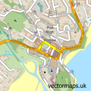
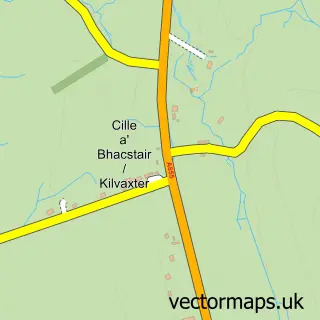
This Stafainn street map is a detailed vector street map covering a 750m x 750m area. Select a larger area to create and download your own vector street map of Stafainn.
The 750-metre map sample for Stafainn covers 44 mapped buildings and approximately 10.4 km of road detail, of which 1 named road are named. The wider area around Stafainn features 1 tourism point of interest, 3 food and drink venues and 1 hotel. To create a larger or custom map of Stafainn, the map builder lets you define your own coverage area and download editable SVG, PDF and PNG files.
Create a larger editable map of Stafainn
Choose any area you need and generate a high-quality vector map instantly. Perfect for print, planning, design, business and personal use.

This Stafainn street map in Ross and Cromarty is available as downloadable SVG, PDF and PNG map files, or as a printed map for planning, business, display, education, local information and design work. You can also create a larger custom map area using the map selector.
What this Stafainn map sample shows
Stafainn lies within Highland parish, part of Eilean A Cheo ward in the Highland local authority area. The postcode geography for this area includes the IV postcode area, the IV51 postcode district and the IV51 9 postcode sector. Residents fall under the Highland for NHS services.
Local features near Stafainn
Within 2 milesAmenities and services in and around Stafainn.
Administrative and postcode information for Stafainn
Stafainn lies within Highland parish, part of Eilean A Cheo ward in the Highland local authority area. The postcode geography for this area includes the IV postcode area, the IV51 postcode district and the IV51 9 postcode sector. Residents fall under the Highland for NHS services.
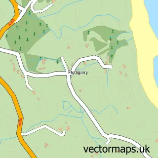
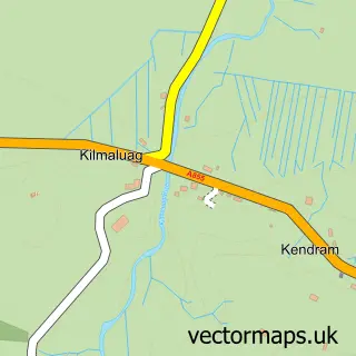
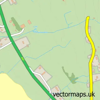
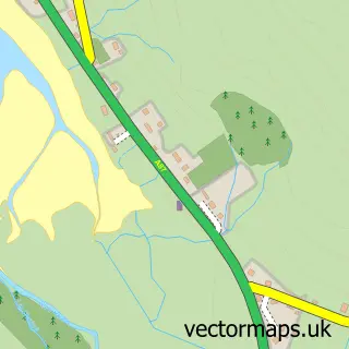
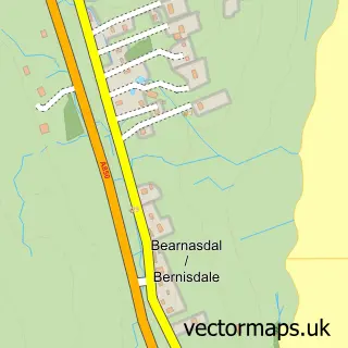
Nearby street map samples around Stafainn

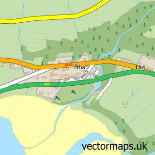
More street maps in Ross and Cromarty
750 metre map area coverage
Boundary, postcode and point of interest information for the 750m x 750m rectangle centred on this sample map.
Boundaries containing map centre
Constituency: Inverness, Skye and West Ross-shire Co Const
District: Highland
Icb: Highland
Postcode District: IV51
Postcode Sector: IV51 9
Ward: Eilean a' Cheo Ward
Nearby boundaries intersecting sample
No additional intersecting boundaries found.
Postcode coverage
POI category counts
Cafe: 2
Barber: 1
Catholic Church: 1
Convenience Store: 1
Doctor: 1
Fabric Store: 1
History Museum: 1
Hotel: 1
Restaurant: 1
Town Hall: 1
Sample points of interest
- Barber Angie (Staffin)
- Columba 1400
- The Hungry Gull
- Kilmuir & Stenscholl
- Staffin Stores
- Portree Medical Practice (Staffin Surgery - Isle of Skye)
- The Wee Quilter
- Staffin Fossil Museum
- Staffin House Apartments
- Kilnartin River Cafe
- Staffin Community Hall
Create a larger editable map of Stafainn
This sample shows only a 750 metre area. To create a larger map of Stafainn, use our map builder to choose your own coverage area, add titles and download editable SVG, PDF and PNG files.
Create a custom map of Stafainn