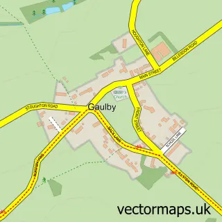
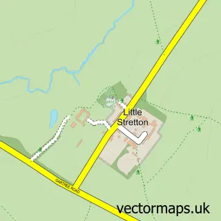
This Illston on the Hill street map is a detailed vector street map covering a 750m x 750m area. Select a larger area to create and download your own vector street map of Illston on the Hill.
The 750-metre map sample for Illston on the Hill covers 82 mapped buildings and approximately 23.6 km of road detail, of which 7 named roads are named. The immediate area includes 2 pubs. The wider area around Illston on the Hill features 2 food and drink venues. To create a larger or custom map of Illston on the Hill, the map builder lets you define your own coverage area and download editable SVG, PDF and PNG files.
Create a larger editable map of Illston on the Hill
Choose any area you need and generate a high-quality vector map instantly. Perfect for print, planning, design, business and personal use.

This Illston on the Hill street map in Leicestershire is available as downloadable SVG, PDF and PNG map files, or as a printed map for planning, business, display, education, local information and design work. You can also create a larger custom map area using the map selector.
What this Illston on the Hill map sample shows
Illston on the Hill lies within Illston On The Hill Cp parish, part of Glen ward in the Harborough District local authority area. The postcode geography for this area includes the LE postcode area, the LE7 postcode district and the LE7 9 postcode sector. Residents fall under the Nhs Leicester, Leicestershire And Rutland Integrated Care Board for NHS services.
Local features near Illston on the Hill
Within 2 milesAmenities and services in and around Illston on the Hill.
Administrative and postcode information for Illston on the Hill
Illston on the Hill lies within Illston On The Hill Cp parish, part of Glen ward in the Harborough District local authority area. The postcode geography for this area includes the LE postcode area, the LE7 postcode district and the LE7 9 postcode sector. Residents fall under the Nhs Leicester, Leicestershire And Rutland Integrated Care Board for NHS services.
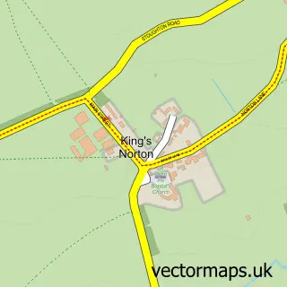
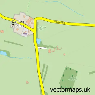
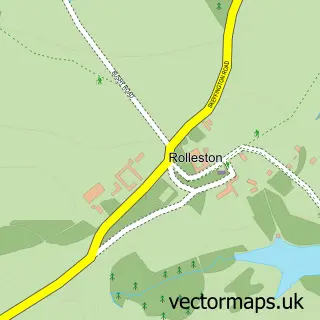
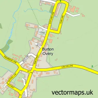
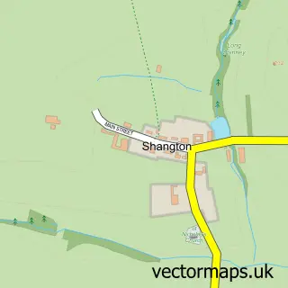
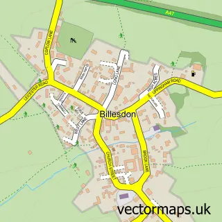
Nearby street map samples around Illston on the Hill

More street maps in Leicestershire
750 metre map area coverage
Boundary, postcode and point of interest information for the 750m x 750m rectangle centred on this sample map.
Boundaries containing map centre
Constituency: Harborough, Oadby and Wigston Co Const
County: Leicestershire County
District: Harborough District
Icb: NHS Leicester Leicestershire and Rutland ICB
Parish: Illston on the Hill CP
Police Force: leicestershire
Postcode District: LE7
Postcode Sector: LE7 9
Ward: Glen Ward
Nearby boundaries intersecting sample
No additional intersecting boundaries found.
Postcode coverage
POI category counts
Pub: 2
Anglican Church: 1
Beach Equipment Rentals: 1
Event Technology Service: 1
Pet Services: 1
Sample points of interest
- Illston: St Michael & All Angels
- A Bit Of A Do Marquee Hire
- A Bit of a Do Marquee Hire
- Illston Mews Cattery
- Fox and Goose Illston on the Hill
- The Fox & Goose
Create a larger editable map of Illston on the Hill
This sample shows only a 750 metre area. To create a larger map of Illston on the Hill, use our map builder to choose your own coverage area, add titles and download editable SVG, PDF and PNG files.
Create a custom map of Illston on the Hill