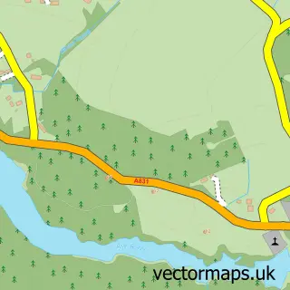
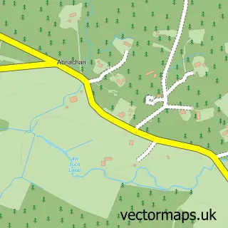
This Inchmore street map is a detailed vector street map covering a 750m x 750m area. Select a larger area to create and download your own vector street map of Inchmore.
The 750-metre map sample for Inchmore covers 64 mapped buildings and approximately 6.8 km of road detail, of which 1 named road are named. The immediate area includes 1 pub. The wider area around Inchmore features 1 tourism point of interest, 1 food and drink venue and 1 hotel. To create a larger or custom map of Inchmore, the map builder lets you define your own coverage area and download editable SVG, PDF and PNG files.
Create a larger editable map of Inchmore
Choose any area you need and generate a high-quality vector map instantly. Perfect for print, planning, design, business and personal use.

This Inchmore street map in Inverness is available as downloadable SVG, PDF and PNG map files, or as a printed map for planning, business, display, education, local information and design work. You can also create a larger custom map area using the map selector.
What this Inchmore map sample shows
Inchmore lies within Highland parish, part of Aird And Loch Ness ward in the Highland local authority area. The postcode geography for this area includes the IV postcode area, the IV5 postcode district and the IV5 7 postcode sector. Residents fall under the Highland for NHS services.
Local features near Inchmore
Within 2 milesAmenities and services in and around Inchmore.
Administrative and postcode information for Inchmore
The local authority covering Inchmore is Highland, within the county of Inverness. The settlement lies within Aird And Loch Ness ward and Highland civil parish. The IV5 postcode district and IV5 7 postcode sector serve the immediate area. NHS provision in the area is delivered through Highland.
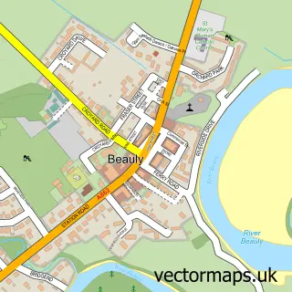
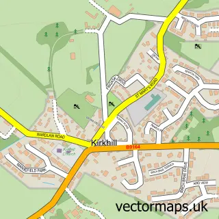
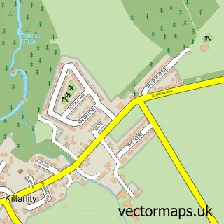
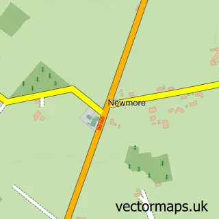
Nearby street map samples around Inchmore

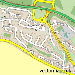
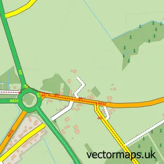
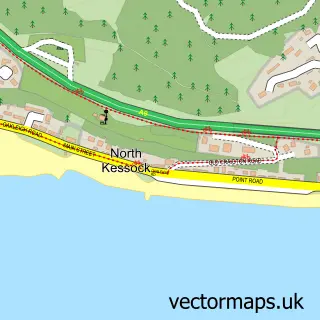
More street maps in Inverness
750 metre map area coverage
Boundary, postcode and point of interest information for the 750m x 750m rectangle centred on this sample map.
Boundaries containing map centre
Constituency: Caithness, Sutherland and Easter Ross Co Const
District: Highland
Icb: Highland
Postcode District: IV5
Postcode Sector: IV5 7
Ward: Aird and Loch Ness Ward
Nearby boundaries intersecting sample
Postcode District: IV3
Postcode Sector: IV3 8
Postcode coverage
POI category counts
Appliance Store: 1
Art Gallery: 1
Arts And Crafts: 1
Automotive: 1
Custom T Shirt Store: 1
Fireplace Service: 1
Home Health Care: 1
Hotel: 1
Landmark And Historical Building: 1
Music Venue: 1
Sample points of interest
- Great Glen Stoves
- Inchmore Gallery
- The Workshop
- Russell's Garage
- Double T
- Great Glen Stoves
- Contrast Care
- Old North Inn Hotel, Inverness
- Inchmore, Kirkhill
- Island in the Marsh
- Pretty PAWfect Pet Styling
- Stuart MacDonald Plumbing & Heating
Create a larger editable map of Inchmore
This sample shows only a 750 metre area. To create a larger map of Inchmore, use our map builder to choose your own coverage area, add titles and download editable SVG, PDF and PNG files.
Create a custom map of Inchmore