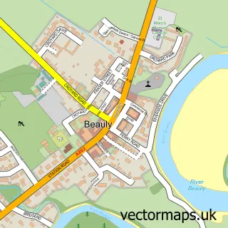
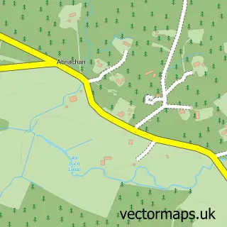
This Kiltarlity street map is a detailed vector street map covering a 750m x 750m area. Select a larger area to create and download your own vector street map of Kiltarlity.
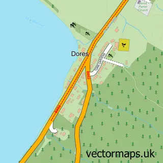
The 750-metre map sample for Kiltarlity covers 64 mapped buildings and approximately 9.3 km of road detail, of which 11 named roads are named. The wider area around Kiltarlity features 3 tourism points of interest and 2 food and drink venues. To create a larger or custom map of Kiltarlity, the map builder lets you define your own coverage area and download editable SVG, PDF and PNG files.
Create a larger editable map of Kiltarlity
Choose any area you need and generate a high-quality vector map instantly. Perfect for print, planning, design, business and personal use.

This Kiltarlity street map in Inverness is available as downloadable SVG, PDF and PNG map files, or as a printed map for planning, business, display, education, local information and design work. You can also create a larger custom map area using the map selector.
What this Kiltarlity map sample shows
Kiltarlity lies within Highland parish, part of Aird And Loch Ness ward in the Highland local authority area. The postcode geography for this area includes the IV postcode area, the IV4 postcode district and the IV4 7 postcode sector. Residents fall under the Highland for NHS services.
Local features near Kiltarlity
Within 2 milesAmenities and services in and around Kiltarlity.
Administrative and postcode information for Kiltarlity
Kiltarlity lies within Highland parish, part of Aird And Loch Ness ward in the Highland local authority area. The postcode geography for this area includes the IV postcode area, the IV4 postcode district and the IV4 7 postcode sector. Residents fall under the Highland for NHS services.
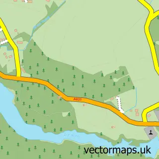
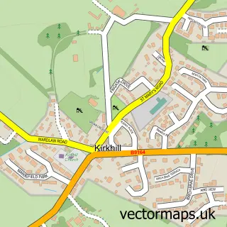
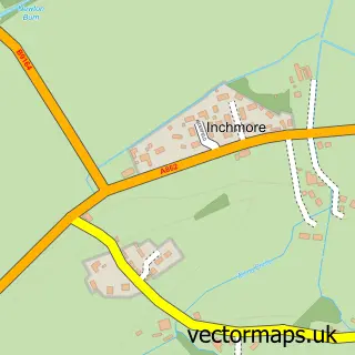
Nearby street map samples around Kiltarlity

More street maps in Inverness
750 metre map area coverage
Boundary, postcode and point of interest information for the 750m x 750m rectangle centred on this sample map.
Boundaries containing map centre
Constituency: Caithness, Sutherland and Easter Ross Co Const
District: Highland
Icb: Highland
Postcode District: IV4
Postcode Sector: IV4 7
Ward: Aird and Loch Ness Ward
Nearby boundaries intersecting sample
No additional intersecting boundaries found.
Postcode coverage
POI category counts
Coffee Shop: 2
Landmark And Historical Building: 2
Arts And Crafts: 1
Bridal Shop: 1
Landscaping: 1
Shipping Center: 1
Sports Club And League: 1
Tiling: 1
Tours: 1
Windows Installation: 1
Sample points of interest
- The Potter's House
- Alexandra Bespoke Bridal Accessories
- Kiltarlity Post Office, Coffee Shop and Village Store
- The Coffee Shop At Kiltarlity Post Office
- Kiltarlity
- Struy
- Collings and Roy
- Post Office
- Lovat Shinty Club
- Just Bathrooms
- Highland Discovery Transfers and Tours
- Trend Windows and Construction
Create a larger editable map of Kiltarlity
This sample shows only a 750 metre area. To create a larger map of Kiltarlity, use our map builder to choose your own coverage area, add titles and download editable SVG, PDF and PNG files.
Create a custom map of Kiltarlity