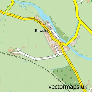
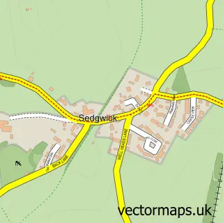
This Kendal street map is a detailed vector street map covering a 750m x 750m area. Select a larger area to create and download your own vector street map of Kendal.
The 750-metre map sample for Kendal covers 271 mapped buildings and approximately 19.3 km of road detail, of which 48 named roads are named. The immediate area includes 2 schools, 3 GP surgeries within 2 miles, 25 pubs and 3 MOT stations, with 19 within 2 miles. The wider area around Kendal features 10 tourism points of interest, 76 food and drink venues and 6 hotels. To create a larger or custom map of Kendal, the map builder lets you define your own coverage area and download editable SVG, PDF and PNG files.
Create a larger editable map of Kendal
Choose any area you need and generate a high-quality vector map instantly. Perfect for print, planning, design, business and personal use.

This Kendal street map in Cumbria is available as downloadable SVG, PDF and PNG map files, or as a printed map for planning, business, display, education, local information and design work. You can also create a larger custom map area using the map selector.
What this Kendal map sample shows
Kendal lies within Kendal Cp parish, part of Kendal Town ward in the Westmorland And Furness local authority area. The postcode geography for this area includes the LA postcode area, the LA9 postcode district and the LA9 7 postcode sector. Residents fall under the Nhs Lancashire And South Cumbria Integrated Care Board for NHS services.
Local features near Kendal
Within 2 milesAmenities and services in and around Kendal.
Administrative and postcode information for Kendal
Kendal lies within Kendal Cp parish, part of Kendal Town ward in the Westmorland And Furness local authority area. The postcode geography for this area includes the LA postcode area, the LA9 postcode district and the LA9 7 postcode sector. Residents fall under the Nhs Lancashire And South Cumbria Integrated Care Board for NHS services.
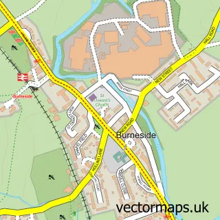
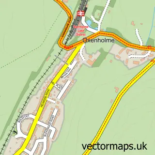
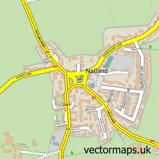
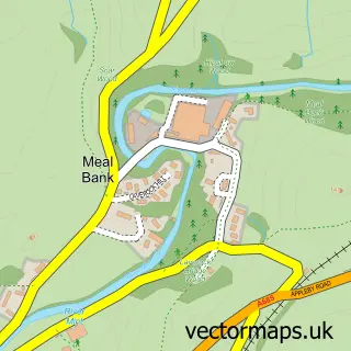
Nearby street map samples around Kendal

More street maps in Cumbria
750 metre map area coverage
Boundary, postcode and point of interest information for the 750m x 750m rectangle centred on this sample map.
Boundaries containing map centre
Constituency: Westmorland and Lonsdale Co Const
District: Westmorland and Furness
Icb: NHS Lancashire and South Cumbria ICB
Parish: Kendal CP
Police Force: cumbria
Postcode District: LA9
Postcode Sector: LA9 4
Ward: Kendal Strickland and Fell Ward
Nearby boundaries intersecting sample
Postcode Sector: LA9 6, LA9 7
Ward: Kendal Highgate Ward, Kendal Nether Ward
Postcode coverage
POI category counts
Cafe: 31
Clothing Store: 25
Pub: 24
Beauty Salon: 20
Hair Salon: 19
Charity Organization: 16
Professional Services: 16
Bank Credit Union: 13
Dentist: 13
Real Estate Agent: 13
Sample points of interest
- Armstrong Watson, Accountants, Business & Financial Advisers
- Stables Thompson & Briscoe
- Sanctuary Healthandfitnessclub
- Acupuncturists Barbara Cushnie
- Adam Hay Studio
- Design Works Limited
- Designworks
- Digitaloft
- Emo Design
- Mullin
- Night Airport Taxis
- Shiatsu
Create a larger editable map of Kendal
This sample shows only a 750 metre area. To create a larger map of Kendal, use our map builder to choose your own coverage area, add titles and download editable SVG, PDF and PNG files.
Create a custom map of Kendal