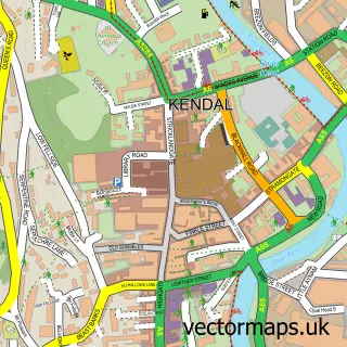
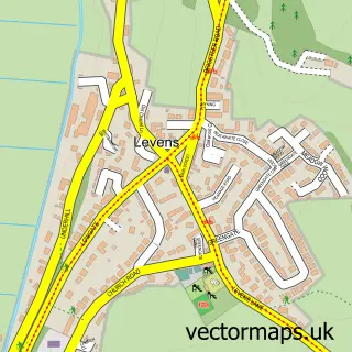
This Oxenholme street map is a detailed vector street map covering a 750m x 750m area. Select a larger area to create and download your own vector street map of Oxenholme.
The 750-metre map sample for Oxenholme covers 148 mapped buildings and approximately 9.7 km of road detail, of which 7 named roads are named. The immediate area includes 1 railway station, 2 GP surgeries within 2 miles and 3 MOT stations within 2 miles. The wider area around Oxenholme features 2 tourism points of interest and 1 hotel. To create a larger or custom map of Oxenholme, the map builder lets you define your own coverage area and download editable SVG, PDF and PNG files.
Create a larger editable map of Oxenholme
Choose any area you need and generate a high-quality vector map instantly. Perfect for print, planning, design, business and personal use.

This Oxenholme street map in Cumbria is available as downloadable SVG, PDF and PNG map files, or as a printed map for planning, business, display, education, local information and design work. You can also create a larger custom map area using the map selector.
What this Oxenholme map sample shows
Oxenholme lies within Kendal Cp parish, part of Kendal South & Natland ward in the Westmorland And Furness local authority area. The postcode geography for this area includes the LA postcode area, the LA9 postcode district and the LA9 7 postcode sector. Residents fall under the Nhs Lancashire And South Cumbria Integrated Care Board for NHS services.
Local features near Oxenholme
Within 2 milesAmenities and services in and around Oxenholme.
Administrative and postcode information for Oxenholme
Oxenholme lies within Kendal Cp parish, part of Kendal South & Natland ward in the Westmorland And Furness local authority area. The postcode geography for this area includes the LA postcode area, the LA9 postcode district and the LA9 7 postcode sector. Residents fall under the Nhs Lancashire And South Cumbria Integrated Care Board for NHS services.
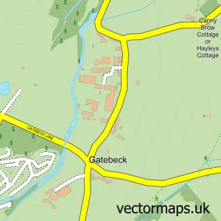
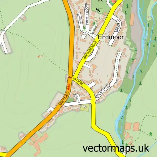
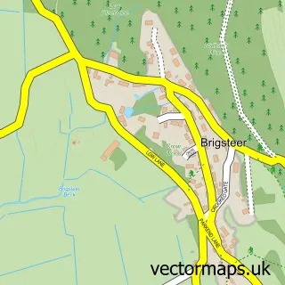
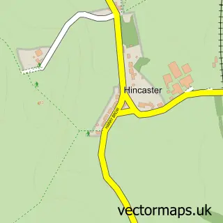
Nearby street map samples around Oxenholme

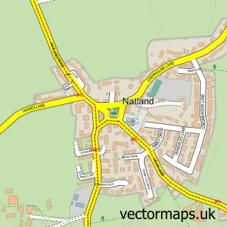
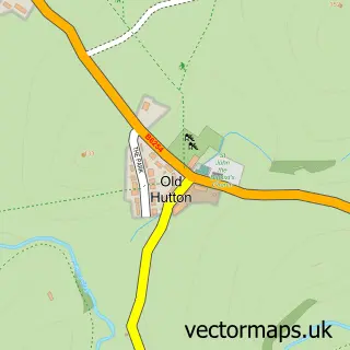
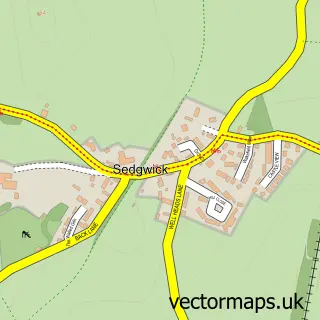
More street maps in Cumbria
750 metre map area coverage
Boundary, postcode and point of interest information for the 750m x 750m rectangle centred on this sample map.
Boundaries containing map centre
Constituency: Westmorland and Lonsdale Co Const
District: Westmorland and Furness
Icb: NHS Lancashire and South Cumbria ICB
Parish: Kendal CP
Police Force: cumbria
Postcode District: LA9
Postcode Sector: LA9 7
Ward: Kendal South Ward
Nearby boundaries intersecting sample
Constituency: Morecambe and Lunesdale Co Const
Parish: Natland CP, New Hutton CP, Stainton CP
Postcode District: LA8
Postcode Sector: LA8 0
Ward: Kendal Castle Ward, Sedbergh and Kirkby Lonsdale Ward
Postcode coverage
POI category counts
Train Station: 3
Post Office: 2
Bakery: 1
Bed And Breakfast: 1
Building Supply Store: 1
Butcher Shop: 1
Food Beverage Service Distribution: 1
Freight And Cargo Service: 1
Hotel: 1
Landmark And Historical Building: 1
Sample points of interest
- Willans
- The Glen Guest House
- Adw Plumbing & Heating
- Willan David Wholesale Meat Products
- David Willan Food Hall
- PLS Couriers
- The Station Inn
- The Helme
- Oxenholme House Car Park | Kendal
- JAC Plumbing and Heating
- Oxenholme Stores & Post Office
- Post Office-Oxenholme
Create a larger editable map of Oxenholme
This sample shows only a 750 metre area. To create a larger map of Oxenholme, use our map builder to choose your own coverage area, add titles and download editable SVG, PDF and PNG files.
Create a custom map of Oxenholme