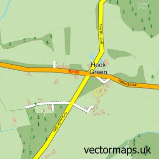
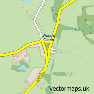
This Kilndown street map is a detailed vector street map covering a 750m x 750m area. Select a larger area to create and download your own vector street map of Kilndown.
The 750-metre map sample for Kilndown covers 106 mapped buildings and approximately 8.4 km of road detail, of which 6 named roads are named. The immediate area includes 1 GP surgery within 2 miles. The wider area around Kilndown features 1 food and drink venue and 3 campsites within 2 miles. To create a larger or custom map of Kilndown, the map builder lets you define your own coverage area and download editable SVG, PDF and PNG files.
Create a larger editable map of Kilndown
Choose any area you need and generate a high-quality vector map instantly. Perfect for print, planning, design, business and personal use.

This Kilndown street map in Kent is available as downloadable SVG, PDF and PNG map files, or as a printed map for planning, business, display, education, local information and design work. You can also create a larger custom map area using the map selector.
What this Kilndown map sample shows
Kilndown lies within Goudhurst Cp parish, part of Goudhurst And Lamberhurst ward in the Tunbridge Wells District (B) local authority area. The postcode geography for this area includes the TN postcode area, the TN17 postcode district and the TN17 2 postcode sector. Residents fall under the Nhs Kent And Medway Integrated Care Board for NHS services.
Local features near Kilndown
Within 2 milesAmenities and services in and around Kilndown.
Administrative and postcode information for Kilndown
Kilndown lies within Goudhurst Cp parish, part of Goudhurst And Lamberhurst ward in the Tunbridge Wells District (B) local authority area. The postcode geography for this area includes the TN postcode area, the TN17 postcode district and the TN17 2 postcode sector. Residents fall under the Nhs Kent And Medway Integrated Care Board for NHS services.
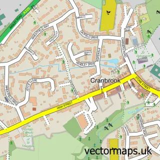
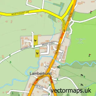
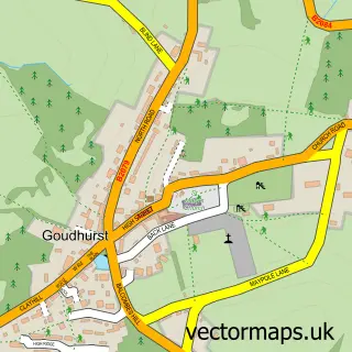
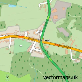
Nearby street map samples around Kilndown

More street maps in Kent
750 metre map area coverage
Boundary, postcode and point of interest information for the 750m x 750m rectangle centred on this sample map.
Boundaries containing map centre
Constituency: Tunbridge Wells Co Const
County: Kent County
District: Tunbridge Wells District (B)
Icb: NHS Kent and Medway ICB
Parish: Goudhurst CP
Police Force: kent
Postcode District: TN17
Postcode Sector: TN17 2
Ward: Rural Tunbridge Wells Ward
Nearby boundaries intersecting sample
No additional intersecting boundaries found.
Postcode coverage
POI category counts
Bed And Breakfast: 2
Church Cathedral: 2
Event Planning: 1
Linen: 1
Organic Grocery Store: 1
Preschool: 1
Restaurant: 1
Sample points of interest
- Bramley House B&B
- The Moon
- Christ Church
- Kilndown
- Kilndown Village Hall
- Tracy Roberts Textiles
- Riverford Organic Vegetables
- Little Squirrels
- The Small Holding
Create a larger editable map of Kilndown
This sample shows only a 750 metre area. To create a larger map of Kilndown, use our map builder to choose your own coverage area, add titles and download editable SVG, PDF and PNG files.
Create a custom map of Kilndown