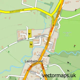
This Flimwell street map is a detailed vector street map covering a 750m x 750m area. Select a larger area to create and download your own vector street map of Flimwell.
The 750-metre map sample for Flimwell covers 113 mapped buildings and approximately 5.6 km of road detail, of which 5 named roads are named. The immediate area includes 3 pubs and 1 MOT station, with 3 within 2 miles. The wider area around Flimwell features 4 food and drink venues and 2 campsites within 2 miles. To create a larger or custom map of Flimwell, the map builder lets you define your own coverage area and download editable SVG, PDF and PNG files.
Create a larger editable map of Flimwell
Choose any area you need and generate a high-quality vector map instantly. Perfect for print, planning, design, business and personal use.

This Flimwell street map in East Sussex is available as downloadable SVG, PDF and PNG map files, or as a printed map for planning, business, display, education, local information and design work. You can also create a larger custom map area using the map selector.
What this Flimwell map sample shows
Flimwell lies within Ticehurst Cp parish, part of Hurst Green & Ticehurst ward in the Rother District local authority area. The postcode geography for this area includes the TN postcode area, the TN5 postcode district and the TN5 7 postcode sector. Residents fall under the Nhs Sussex Integrated Care Board for NHS services.
Local features near Flimwell
Within 2 milesAmenities and services in and around Flimwell.
Administrative and postcode information for Flimwell
Flimwell lies within Ticehurst Cp parish, part of Hurst Green & Ticehurst ward in the Rother District local authority area. The postcode geography for this area includes the TN postcode area, the TN5 postcode district and the TN5 7 postcode sector. Residents fall under the Nhs Sussex Integrated Care Board for NHS services.
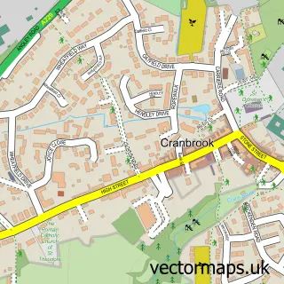
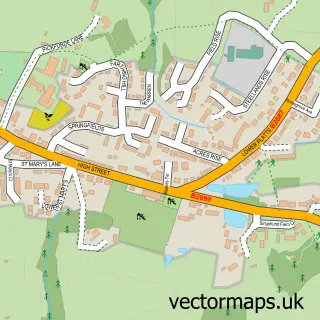
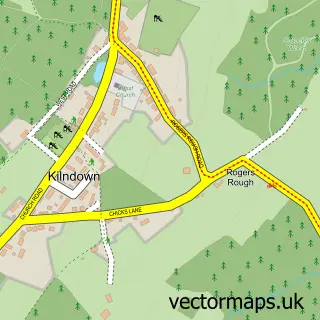
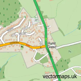
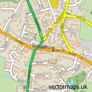
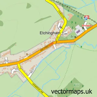
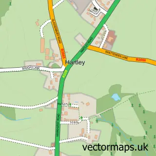
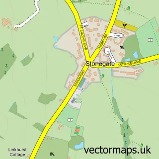
Nearby street map samples around Flimwell

More street maps in East Sussex
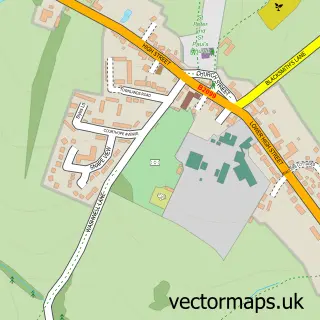
750 metre map area coverage
Boundary, postcode and point of interest information for the 750m x 750m rectangle centred on this sample map.
Boundaries containing map centre
Constituency: Bexhill and Battle Co Const
County: East Sussex County
District: Rother District
Icb: NHS Surrey and Sussex ICB
Parish: Ticehurst CP
Police Force: sussex
Postcode District: TN5
Postcode Sector: TN5 7
Ward: Hurst Green & Ticehurst Ward
Nearby boundaries intersecting sample
Constituency: Tunbridge Wells Co Const
County: Kent County
District: Tunbridge Wells District (B)
Icb: NHS Kent and Medway ICB
Parish: Goudhurst CP
Police Force: kent
Ward: Rural Tunbridge Wells Ward
Postcode coverage
POI category counts
Pub: 3
Automotive Repair: 2
Driving School: 2
Arts And Entertainment: 1
Business Consulting: 1
Contractor: 1
Delicatessen: 1
Dentist: 1
Event Planning: 1
Furniture Store: 1
Sample points of interest
- Flimwell
- Mick Gould Commercials Ltd
- NTW Cars
- Acorn Tourism Consulting
- Hallwood Solutions
- The Weald Smokery
- Ibbott & Co. Dental Clinic
- Alex's School of Motoring
- Crossroads Driving School
- Combwell Priory
- Country Furniture Barn Ltd
- Bodiam Ice Cream
Create a larger editable map of Flimwell
This sample shows only a 750 metre area. To create a larger map of Flimwell, use our map builder to choose your own coverage area, add titles and download editable SVG, PDF and PNG files.
Create a custom map of Flimwell