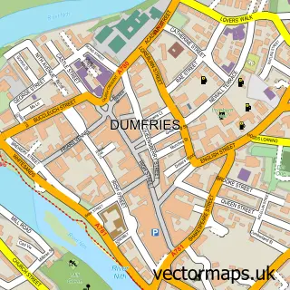
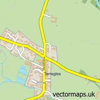
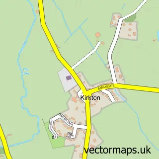
This Kingholm Quay street map is a detailed vector street map covering a 750m x 750m area. Select a larger area to create and download your own vector street map of Kingholm Quay.
The 750-metre map sample for Kingholm Quay covers 141 mapped buildings and approximately 7.3 km of road detail, of which 10 named roads are named. The immediate area includes 4 GP surgeries within 2 miles, 3 pubs and 16 MOT stations within 2 miles. The wider area around Kingholm Quay features 1 tourism point of interest and 4 food and drink venues. To create a larger or custom map of Kingholm Quay, the map builder lets you define your own coverage area and download editable SVG, PDF and PNG files.
Create a larger editable map of Kingholm Quay
Choose any area you need and generate a high-quality vector map instantly. Perfect for print, planning, design, business and personal use.

This Kingholm Quay street map in Dumfries is available as downloadable SVG, PDF and PNG map files, or as a printed map for planning, business, display, education, local information and design work. You can also create a larger custom map area using the map selector.
What this Kingholm Quay map sample shows
Kingholm Quay lies within Dumfries And Galloway parish, part of Nith ward in the Dumfries And Galloway local authority area. The postcode geography for this area includes the DG postcode area, the DG1 postcode district and the DG1 4 postcode sector. Residents fall under the Dumfries And Galloway for NHS services.
Local features near Kingholm Quay
Within 2 milesAmenities and services in and around Kingholm Quay.
Administrative and postcode information for Kingholm Quay
The local authority covering Kingholm Quay is Dumfries And Galloway, within the county of Dumfries. The settlement lies within Nith ward and Dumfries And Galloway civil parish. The DG1 postcode district and DG1 4 postcode sector serve the immediate area. NHS provision in the area is delivered through Dumfries And Galloway.
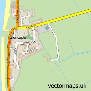
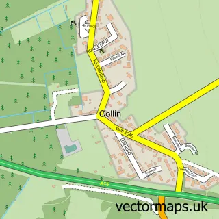
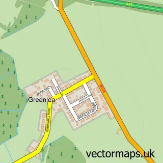
Nearby street map samples around Kingholm Quay

More street maps in Dumfries
750 metre map area coverage
Boundary, postcode and point of interest information for the 750m x 750m rectangle centred on this sample map.
Boundaries containing map centre
Constituency: Dumfries and Galloway Co Const
District: Dumfries and Galloway
Icb: Dumfries and Galloway
Postcode District: DG1
Postcode Sector: DG1 4
Ward: Nith Ward
Nearby boundaries intersecting sample
Postcode District: DG2
Postcode Sector: DG2 8
Ward: Abbey Ward
Postcode coverage
POI category counts
Pub: 3
Antique Store: 1
Automotive Repair: 1
Bar: 1
Bathroom Remodeling: 1
Business Management Services: 1
Caterer: 1
Furniture Store: 1
Iron And Steel Industry: 1
Landmark And Historical Building: 1
Sample points of interest
- Anchor Antiques
- FDL Engineering
- Swan Hotel
- Peter Haining Bathrooms
- Clowning Around
- Hullabaloo to You
- Kingholm Quay Beds
- Dumfries Vapour Blasting
- Kingholm Quay
- Alpha Powder Coating
- Peter Haining Kitchens Limited
- Swan At Kingholm Hotel
Create a larger editable map of Kingholm Quay
This sample shows only a 750 metre area. To create a larger map of Kingholm Quay, use our map builder to choose your own coverage area, add titles and download editable SVG, PDF and PNG files.
Create a custom map of Kingholm Quay