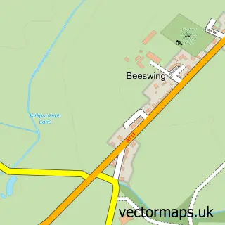
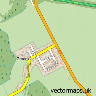
This New Abbey street map is a detailed vector street map covering a 750m x 750m area. Select a larger area to create and download your own vector street map of New Abbey.
The 750-metre map sample for New Abbey covers 115 mapped buildings and approximately 9.5 km of road detail, of which 7 named roads are named. The immediate area includes 1 GP surgery. The wider area around New Abbey features 2 tourism points of interest and 1 hotel. To create a larger or custom map of New Abbey, the map builder lets you define your own coverage area and download editable SVG, PDF and PNG files.
Create a larger editable map of New Abbey
Choose any area you need and generate a high-quality vector map instantly. Perfect for print, planning, design, business and personal use.

This New Abbey street map in Dumfries is available as downloadable SVG, PDF and PNG map files, or as a printed map for planning, business, display, education, local information and design work. You can also create a larger custom map area using the map selector.
What this New Abbey map sample shows
New Abbey lies within Dumfries And Galloway parish, part of Abbey ward in the Dumfries And Galloway local authority area. The postcode geography for this area includes the DG postcode area, the DG2 postcode district and the DG2 8 postcode sector. Residents fall under the Dumfries And Galloway for NHS services.
Local features near New Abbey
Within 2 milesAmenities and services in and around New Abbey.
Administrative and postcode information for New Abbey
The local authority covering New Abbey is Dumfries And Galloway, within the county of Dumfries. The settlement lies within Abbey ward and Dumfries And Galloway civil parish. The DG2 postcode district and DG2 8 postcode sector serve the immediate area. NHS provision in the area is delivered through Dumfries And Galloway.
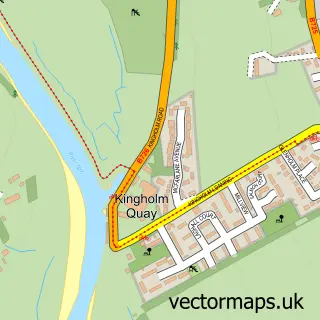
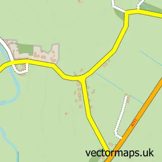
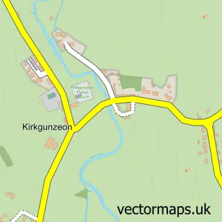
Nearby street map samples around New Abbey

More street maps in Dumfries
750 metre map area coverage
Boundary, postcode and point of interest information for the 750m x 750m rectangle centred on this sample map.
Boundaries containing map centre
Constituency: Dumfries and Galloway Co Const
District: Dumfries and Galloway
Icb: Dumfries and Galloway
Postcode District: DG2
Postcode Sector: DG2 8
Ward: Abbey Ward
Nearby boundaries intersecting sample
No additional intersecting boundaries found.
Postcode coverage
POI category counts
Amateur Sports Team: 1
Bed And Breakfast: 1
Catholic Church: 1
Computer Hardware Company: 1
Convenience Store: 1
Doctor: 1
Elementary School: 1
Gym: 1
Holiday Rental Home: 1
Hotel: 1
Sample points of interest
- Abbey Vale Football Club
- Abbey Arms Hotel
- New Abbey Parish Church
- Velocis I T Ltd
- Mciver & Co - New Abbey Stores
- Shebburn Medical Practice
- New Abbey Primary School
- New Abbey Bowling Club
- Lime Tree House
- Criffel Inn
- Sweetheart Abbey
- New Abbey Lodge and Cottage
Create a larger editable map of New Abbey
This sample shows only a 750 metre area. To create a larger map of New Abbey, use our map builder to choose your own coverage area, add titles and download editable SVG, PDF and PNG files.
Create a custom map of New Abbey