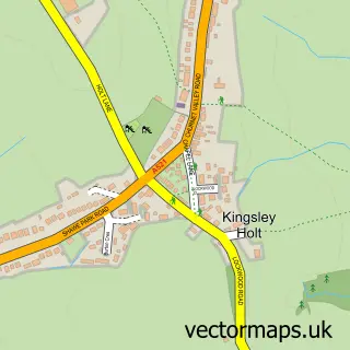
This Kingsley street map is a detailed vector street map covering a 750m x 750m area. Select a larger area to create and download your own vector street map of Kingsley.
The 750-metre map sample for Kingsley covers 245 mapped buildings and approximately 12.7 km of road detail, of which 18 named roads are named. The wider area around Kingsley features 1 hotel. To create a larger or custom map of Kingsley, the map builder lets you define your own coverage area and download editable SVG, PDF and PNG files.
Create a larger editable map of Kingsley
Choose any area you need and generate a high-quality vector map instantly. Perfect for print, planning, design, business and personal use.

This Kingsley street map in Staffordshire is available as downloadable SVG, PDF and PNG map files, or as a printed map for planning, business, display, education, local information and design work. You can also create a larger custom map area using the map selector.
What this Kingsley map sample shows
Kingsley lies within Kingsley Cp parish, part of Churnet ward in the Staffordshire Moorlands District local authority area. The postcode geography for this area includes the ST postcode area, the ST10 postcode district and the ST10 2 postcode sector. Residents fall under the Nhs Staffordshire And Stoke-On-Trent Integrated Care Board for NHS services.
Local features near Kingsley
Within 2 milesAmenities and services in and around Kingsley.
Administrative and postcode information for Kingsley
The local authority covering Kingsley is Staffordshire Moorlands District, within the county of Staffordshire. The settlement lies within Churnet ward and Kingsley Cp civil parish. The ST10 postcode district and ST10 2 postcode sector serve the immediate area. NHS provision in the area is delivered through University Hospitals Of North Midlands Nhs Trust.
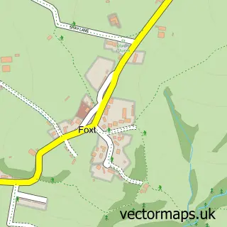
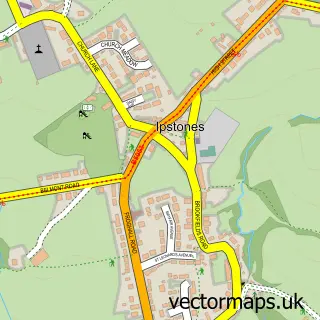
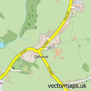
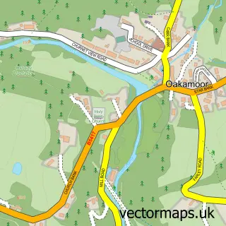
Nearby street map samples around Kingsley

More street maps in Staffordshire
750 metre map area coverage
Boundary, postcode and point of interest information for the 750m x 750m rectangle centred on this sample map.
Boundaries containing map centre
Constituency: Staffordshire Moorlands Co Const
County: Staffordshire County
District: Staffordshire Moorlands District
Icb: NHS Staffordshire and Stoke-on-Trent ICB
Parish: Kingsley CP
Police Force: staffordshire
Postcode District: ST10
Postcode Sector: ST10 2
Ward: Churnet Ward
Nearby boundaries intersecting sample
No additional intersecting boundaries found.
Postcode coverage
POI category counts
Alternative Medicine: 1
Arts And Crafts: 1
Auto Electrical Repair: 1
Bar: 1
Beauty Salon: 1
Community Center: 1
Electrician: 1
Event Planning: 1
Financial Service: 1
Fitness Trainer: 1
Sample points of interest
- Calmer Therapies
- Kingsley crafter
- P.D Rushton Electrical Contractors
- The Bulls Head Kingsley
- Forsbrook Hair Plus
- Kingsley Village Hall
- P D Rushton Electrical
- Olive & Bloom
- Julia Farrow AICB, CB.Cert, PM.Dip
- The Pool Coach
- Higherlands
- Pet Call
Create a larger editable map of Kingsley
This sample shows only a 750 metre area. To create a larger map of Kingsley, use our map builder to choose your own coverage area, add titles and download editable SVG, PDF and PNG files.
Create a custom map of Kingsley