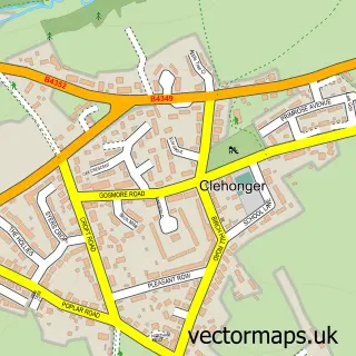
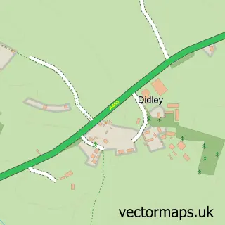
This Kingstone street map is a detailed vector street map covering a 750m x 750m area. Select a larger area to create and download your own vector street map of Kingstone.
The 750-metre map sample for Kingstone covers 284 mapped buildings and approximately 36.8 km of road detail, of which 11 named roads are named. The immediate area includes 1 primary school and 1 secondary school, 1 GP surgery within 2 miles, 1 pub and 1 MOT station within 2 miles. The wider area around Kingstone features 1 food and drink venue. To create a larger or custom map of Kingstone, the map builder lets you define your own coverage area and download editable SVG, PDF and PNG files.
Create a larger editable map of Kingstone
Choose any area you need and generate a high-quality vector map instantly. Perfect for print, planning, design, business and personal use.

This Kingstone street map in Herefordshire is available as downloadable SVG, PDF and PNG map files, or as a printed map for planning, business, display, education, local information and design work. You can also create a larger custom map area using the map selector.
What this Kingstone map sample shows
Kingstone lies within Kingstone Cp parish, part of Wormside ward in the County Of Herefordshire local authority area. The postcode geography for this area includes the HR postcode area, the HR2 postcode district and the HR2 9 postcode sector. Residents fall under the Nhs Herefordshire And Worcestershire Integrated Care Board for NHS services.
Local features near Kingstone
Within 2 milesAmenities and services in and around Kingstone.
Administrative and postcode information for Kingstone
The local authority covering Kingstone is County Of Herefordshire, within the county of Herefordshire. The settlement lies within Wormside ward and Kingstone Cp civil parish. The HR2 postcode district and HR2 9 postcode sector serve the immediate area. NHS provision in the area is delivered through Wye Valley Nhs Trust.
Nearby street map samples around Kingstone

More street maps in Herefordshire
750 metre map area coverage
Boundary, postcode and point of interest information for the 750m x 750m rectangle centred on this sample map.
Boundaries containing map centre
Constituency: Hereford and South Herefordshire Co Const
District: County of Herefordshire
Icb: NHS Herefordshire and Worcestershire ICB
Parish: Kingstone CP
Police Force: west mercia
Postcode District: HR2
Postcode Sector: HR2 9
Ward: Wormside Ward
Nearby boundaries intersecting sample
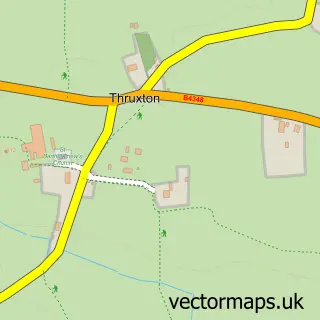
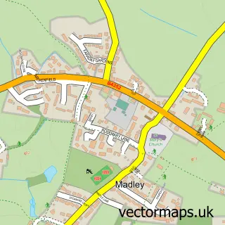
Parish: Madley CP
Ward: Stoney Street Ward
Postcode coverage
POI category counts
Anglican Church: 1
Building Supply Store: 1
Child Care And Day Care: 1
Church Cathedral: 1
Countertop Installation: 1
Driving School: 1
Elementary School: 1
High School: 1
Home Cleaning: 1
Post Office: 1
Sample points of interest
- Kingstone: St Michael & All Angels
- Central Roofing & Building Services
- KES Childcare
- Kingstone Church
- TJ Joinery
- KJ Driving School
- Kingstone and Thruxton Primary School
- Kingstone High School
- HS Laundry and Cleaning Services
- Post Office
- Paul French Video
- The Bull Ring Inn
Create a larger editable map of Kingstone
This sample shows only a 750 metre area. To create a larger map of Kingstone, use our map builder to choose your own coverage area, add titles and download editable SVG, PDF and PNG files.
Create a custom map of Kingstone