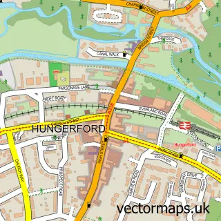
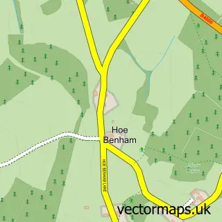
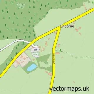
This Kintbury street map is a detailed vector street map covering a 750m x 750m area. Select a larger area to create and download your own vector street map of Kintbury.
The 750-metre map sample for Kintbury covers 278 mapped buildings and approximately 11.4 km of road detail, of which 20 named roads are named. The immediate area includes 1 railway station, 1 GP surgery and 3 pubs. The wider area around Kintbury features 4 food and drink venues. To create a larger or custom map of Kintbury, the map builder lets you define your own coverage area and download editable SVG, PDF and PNG files.
Create a larger editable map of Kintbury
Choose any area you need and generate a high-quality vector map instantly. Perfect for print, planning, design, business and personal use.

This Kintbury street map in Berkshire is available as downloadable SVG, PDF and PNG map files, or as a printed map for planning, business, display, education, local information and design work. You can also create a larger custom map area using the map selector.
What this Kintbury map sample shows
Kintbury lies within Kintbury Cp parish, part of Hungerford & Kintbury ward in the West Berkshire local authority area. The postcode geography for this area includes the RG postcode area, the RG17 postcode district and the RG17 9 postcode sector. Residents fall under the Nhs Buckinghamshire, Oxfordshire And Berkshire West Integrated Care Board for NHS services.
Local features near Kintbury
Within 2 milesAmenities and services in and around Kintbury.
Administrative and postcode information for Kintbury
Kintbury lies within Kintbury Cp parish, part of Hungerford & Kintbury ward in the West Berkshire local authority area. The postcode geography for this area includes the RG postcode area, the RG17 postcode district and the RG17 9 postcode sector. Residents fall under the Nhs Buckinghamshire, Oxfordshire And Berkshire West Integrated Care Board for NHS services.
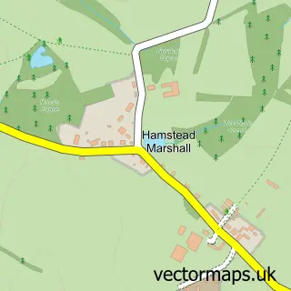
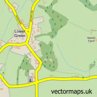
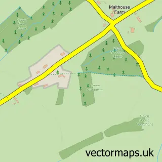
Nearby street map samples around Kintbury

More street maps in Berkshire
750 metre map area coverage
Boundary, postcode and point of interest information for the 750m x 750m rectangle centred on this sample map.
Boundaries containing map centre
Constituency: Newbury Co Const
District: West Berkshire
Icb: NHS Thames Valley ICB
Parish: Kintbury CP
Police Force: thames valley
Postcode District: RG17
Postcode Sector: RG17 9
Ward: Hungerford & Kintbury Ward
Nearby boundaries intersecting sample
No additional intersecting boundaries found.
Postcode coverage
POI category counts
Sports Club And League: 4
Convenience Store: 3
Pub: 3
Retail: 3
Train Station: 3
Building Supply Store: 2
Korean Grocery Store: 2
Yoga Studio: 2
Anglican Church: 1
Audiovisual Equipment Rental: 1
Sample points of interest
- St Mary Kintbury with Avington & Hamstead Marshall
- Alpha2delta Design Ltd.
- Cookies
- Kennet Horse Boat Company
- Bertram Rota Booksellers
- Ciderniks
- MP Walden Electrical
- The Flooring Company
- Consultniks
- Bastable Brothers
- St. Mary's Church
- Kintbury Coronation Hall
Create a larger editable map of Kintbury
This sample shows only a 750 metre area. To create a larger map of Kintbury, use our map builder to choose your own coverage area, add titles and download editable SVG, PDF and PNG files.
Create a custom map of Kintbury