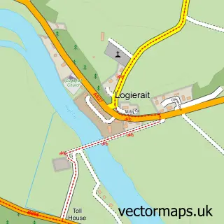
This Kirkmichael street map is a detailed vector street map covering a 750m x 750m area. Select a larger area to create and download your own vector street map of Kirkmichael.
The 750-metre map sample for Kirkmichael covers 47 mapped buildings and approximately 14.0 km of road detail, of which 2 named roads are named. The wider area around Kirkmichael features 1 hotel. To create a larger or custom map of Kirkmichael, the map builder lets you define your own coverage area and download editable SVG, PDF and PNG files.
Create a larger editable map of Kirkmichael
Choose any area you need and generate a high-quality vector map instantly. Perfect for print, planning, design, business and personal use.

This Kirkmichael street map in Perth and Kinross is available as downloadable SVG, PDF and PNG map files, or as a printed map for planning, business, display, education, local information and design work. You can also create a larger custom map area using the map selector.
What this Kirkmichael map sample shows
Kirkmichael lies within Perth And Kinross parish, part of Blairgowrie And Glens ward in the Perth And Kinross local authority area. The postcode geography for this area includes the PH postcode area, the PH10 postcode district and the PH10 7 postcode sector. Residents fall under the Tayside for NHS services.
Local features near Kirkmichael
Within 2 milesAmenities and services in and around Kirkmichael.
Administrative and postcode information for Kirkmichael
Kirkmichael lies within Perth And Kinross parish, part of Blairgowrie And Glens ward in the Perth And Kinross local authority area. The postcode geography for this area includes the PH postcode area, the PH10 postcode district and the PH10 7 postcode sector. Residents fall under the Tayside for NHS services.
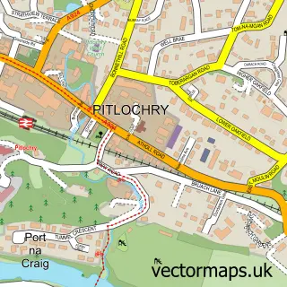
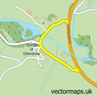
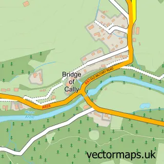
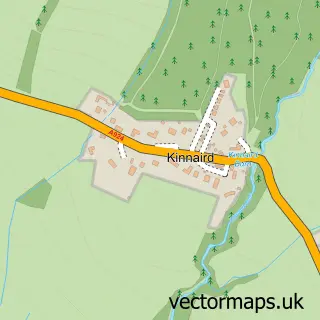
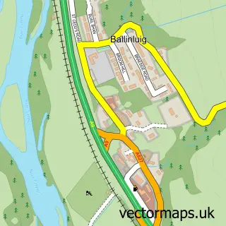
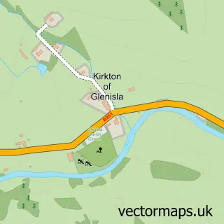
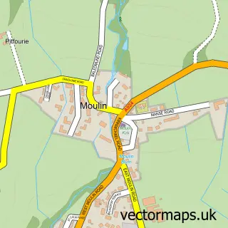
Nearby street map samples around Kirkmichael

More street maps in Perth and Kinross
750 metre map area coverage
Boundary, postcode and point of interest information for the 750m x 750m rectangle centred on this sample map.
Boundaries containing map centre
Constituency: Angus and Perthshire Glens Co Const
District: Perth and Kinross
Icb: Tayside
Postcode District: PH10
Postcode Sector: PH10 7
Ward: Blairgowrie and Glens Ward
Nearby boundaries intersecting sample
No additional intersecting boundaries found.
Postcode coverage
POI category counts
Bed And Breakfast: 2
Lodge: 2
Pet Store: 2
Arts And Crafts: 1
Automotive Repair: 1
Bakery: 1
Catholic Church: 1
Community Services Non Profits: 1
Cottage: 1
Fire Department: 1
Sample points of interest
- Cairngorm Gifts
- Milford Vintage Engineering
- The Kilted Baker
- Strathardle Lodge
- The stables
- Kirkmichael, Straloch and Glenshee
- Kirkmichael Village Shop
- Smithy Cottage Kirkmichael, Luxury Holiday Cottage
- Kirkmichael Community Fire Station
- Cairngorm Gifts
- Cateran Trail
- The Kirkmichael Hotel
Create a larger editable map of Kirkmichael
This sample shows only a 750 metre area. To create a larger map of Kirkmichael, use our map builder to choose your own coverage area, add titles and download editable SVG, PDF and PNG files.
Create a custom map of Kirkmichael