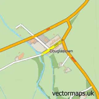
This Kirriemuir street map is a detailed vector street map covering a 750m x 750m area. Select a larger area to create and download your own vector street map of Kirriemuir.
The 750-metre map sample for Kirriemuir covers 371 mapped buildings and approximately 17.0 km of road detail, of which 51 named roads are named. The immediate area includes 1 GP surgery, 4 pubs and 4 MOT stations within 2 miles. The wider area around Kirriemuir features 7 tourism points of interest, 10 food and drink venues and 2 hotels. To create a larger or custom map of Kirriemuir, the map builder lets you define your own coverage area and download editable SVG, PDF and PNG files.
Create a larger editable map of Kirriemuir
Choose any area you need and generate a high-quality vector map instantly. Perfect for print, planning, design, business and personal use.

This Kirriemuir street map in Angus is available as downloadable SVG, PDF and PNG map files, or as a printed map for planning, business, display, education, local information and design work. You can also create a larger custom map area using the map selector.
What this Kirriemuir map sample shows
Kirriemuir lies within Angus parish, part of Kirriemuir And Dean ward in the Angus local authority area. The postcode geography for this area includes the DD postcode area, the DD8 postcode district and the DD8 4 postcode sector. Residents fall under the Tayside for NHS services.
Local features near Kirriemuir
Within 2 milesAmenities and services in and around Kirriemuir.
Administrative and postcode information for Kirriemuir
Kirriemuir lies within Angus parish, part of Kirriemuir And Dean ward in the Angus local authority area. The postcode geography for this area includes the DD postcode area, the DD8 postcode district and the DD8 4 postcode sector. Residents fall under the Tayside for NHS services.
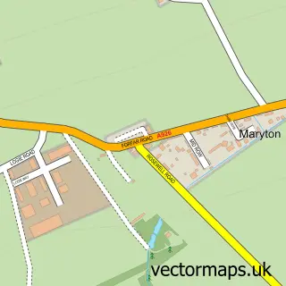
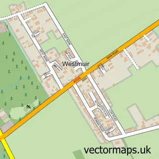
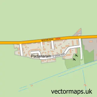
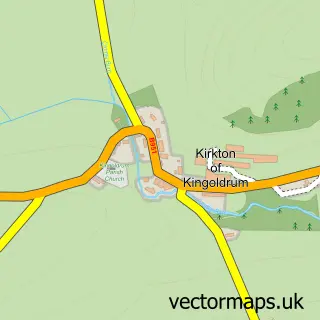
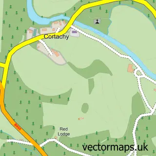
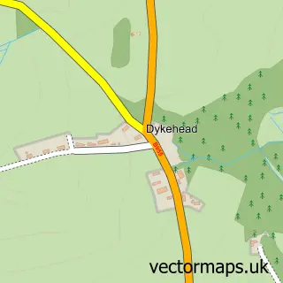
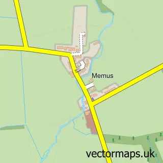
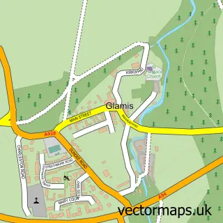
Nearby street map samples around Kirriemuir

More street maps in Angus
750 metre map area coverage
Boundary, postcode and point of interest information for the 750m x 750m rectangle centred on this sample map.
Boundaries containing map centre
Constituency: Angus and Perthshire Glens Co Const
District: Angus
Icb: Tayside
Postcode District: DD8
Postcode Sector: DD8 4
Ward: Kirriemuir and Dean Ward
Nearby boundaries intersecting sample
Postcode Sector: DD8 5
Postcode coverage
POI category counts
Flowers And Gifts Shop: 10
Hair Salon: 5
Art Gallery: 4
Beauty Salon: 4
Pub: 4
Bar: 3
Barber: 3
Coffee Shop: 3
Convenience Store: 3
Courier And Delivery Services: 3
Sample points of interest
- The Airlie Arms Hotel & Restaurant
- AMS Accounting
- Irvine Adamson
- Kirriemuir Community Fire Station
- George W Rennie
- Ainetheon Arts Ltd
- Angus Fine Art & Tea Rooms
- Bank Street Gallery
- The Wendy House
- Jist Jute
- Braes of Kirriemuir, The Square
- The Cooperative Food (BF) Kirriemuir Superstore (ERF)
Create a larger editable map of Kirriemuir
This sample shows only a 750 metre area. To create a larger map of Kirriemuir, use our map builder to choose your own coverage area, add titles and download editable SVG, PDF and PNG files.
Create a custom map of Kirriemuir