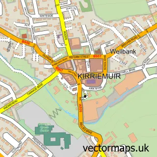
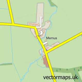
This Maryton street map is a detailed vector street map covering a 750m x 750m area. Select a larger area to create and download your own vector street map of Maryton.
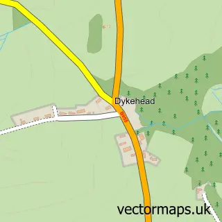
The 750-metre map sample for Maryton covers 69 mapped buildings and approximately 7.0 km of road detail, of which 5 named roads are named. The immediate area includes 1 GP surgery within 2 miles and 2 MOT stations, with 4 within 2 miles. The wider area around Maryton features 1 food and drink venue and 1 campsite within 2 miles. To create a larger or custom map of Maryton, the map builder lets you define your own coverage area and download editable SVG, PDF and PNG files.
Create a larger editable map of Maryton
Choose any area you need and generate a high-quality vector map instantly. Perfect for print, planning, design, business and personal use.

This Maryton street map in Angus is available as downloadable SVG, PDF and PNG map files, or as a printed map for planning, business, display, education, local information and design work. You can also create a larger custom map area using the map selector.
What this Maryton map sample shows
Maryton lies within Angus parish, part of Kirriemuir And Dean ward in the Angus local authority area. The postcode geography for this area includes the DD postcode area, the DD8 postcode district and the DD8 5 postcode sector. Residents fall under the Tayside for NHS services.
Local features near Maryton
Within 2 milesAmenities and services in and around Maryton.
Administrative and postcode information for Maryton
Maryton lies within Angus parish, part of Kirriemuir And Dean ward in the Angus local authority area. The postcode geography for this area includes the DD postcode area, the DD8 postcode district and the DD8 5 postcode sector. Residents fall under the Tayside for NHS services.
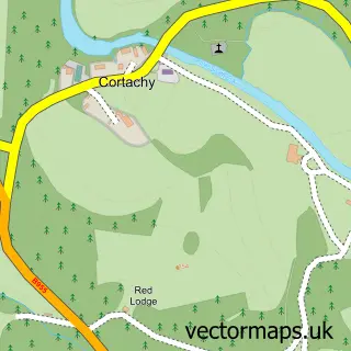
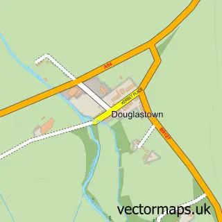
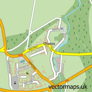
Nearby street map samples around Maryton

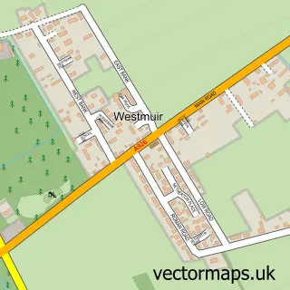
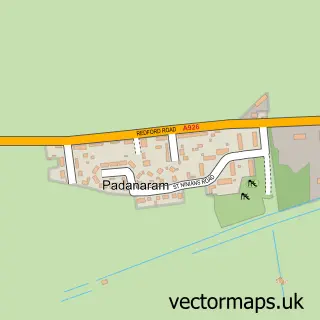
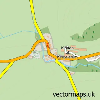
More street maps in Angus
750 metre map area coverage
Boundary, postcode and point of interest information for the 750m x 750m rectangle centred on this sample map.
Boundaries containing map centre
Constituency: Angus and Perthshire Glens Co Const
District: Angus
Icb: Tayside
Postcode District: DD8
Postcode Sector: DD8 5
Ward: Kirriemuir and Dean Ward
Nearby boundaries intersecting sample
No additional intersecting boundaries found.
Postcode coverage
POI category counts
Automotive Services And Repair: 2
Audio Visual Equipment Store: 1
Automotive Repair: 1
B2b Apparel: 1
Beauty Salon: 1
Construction Services: 1
Food Beverage Service Distribution: 1
Gym: 1
Home Security: 1
Massage Therapy: 1
Sample points of interest
- DGLX Theatre and Event Lighting Services
- AP DC Autos
- Maryton Garage Ltd
- Shaws MOT Centre
- Tops/tracksuits and trainers
- Petite Beauty
- Delson Contracts Ltd
- Kirrie Dumplings Catering
- Cargill's Gym
- Angus Alarms and Security
- Fjall Remedial and Sports Massage Therapy
- CS Maintec
Create a larger editable map of Maryton
This sample shows only a 750 metre area. To create a larger map of Maryton, use our map builder to choose your own coverage area, add titles and download editable SVG, PDF and PNG files.
Create a custom map of Maryton