This Kuggar street map is a detailed vector street map covering a 750m x 750m area. Select a larger area to create and download your own vector street map of Kuggar.
The 750-metre map sample for Kuggar covers 81 mapped buildings and approximately 6.7 km of road detail. The immediate area includes 2 pubs and 1 MOT station within 2 miles. The wider area around Kuggar features 6 tourism points of interest, 2 food and drink venues and 1 hotel. To create a larger or custom map of Kuggar, the map builder lets you define your own coverage area and download editable SVG, PDF and PNG files.
Create a larger editable map of Kuggar
Choose any area you need and generate a high-quality vector map instantly. Perfect for print, planning, design, business and personal use.

This Kuggar street map in Cornwall is available as downloadable SVG, PDF and PNG map files, or as a printed map for planning, business, display, education, local information and design work. You can also create a larger custom map area using the map selector.
What this Kuggar map sample shows
Kuggar lies within Grade-Ruan Cp parish, part of Mullion And Grade-Ruan ward in the Cornwall local authority area. The postcode geography for this area includes the TR postcode area, the TR12 postcode district and the TR12 7 postcode sector. Residents fall under the Nhs Cornwall And The Isles Of Scilly Integrated Care Board for NHS services.
Local features near Kuggar
Within 2 milesAmenities and services in and around Kuggar.
Administrative and postcode information for Kuggar
Kuggar lies within Grade-Ruan Cp parish, part of Mullion And Grade-Ruan ward in the Cornwall local authority area. The postcode geography for this area includes the TR postcode area, the TR12 postcode district and the TR12 7 postcode sector. Residents fall under the Nhs Cornwall And The Isles Of Scilly Integrated Care Board for NHS services.
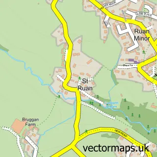
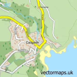
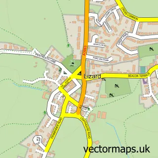
Nearby street map samples around Kuggar


More street maps in Cornwall
750 metre map area coverage
Boundary, postcode and point of interest information for the 750m x 750m rectangle centred on this sample map.
Boundaries containing map centre
Constituency: St. Ives Co Const
District: Cornwall
Icb: NHS Cornwall and the Isles of Scilly ICB
Parish: Grade-Ruan CP
Police Force: devon and cornwall
Postcode District: TR12
Postcode Sector: TR12 7
Nearby boundaries intersecting sample
No additional intersecting boundaries found.
Postcode coverage
POI category counts
Campground: 5
Pub: 2
Antique Store: 1
Bar: 1
Bar And Grill Restaurant: 1
Holiday Rental Home: 1
Hotel: 1
Landmark And Historical Building: 1
Towing Service: 1
Travel Agents: 1
Sample points of interest
- Vintage and Antiques on The Lizard
- The Cow Shed Bar
- Riptide Bar and Grill
- Chy Carne Holiday Park
- Chy Carne Holiday Park
- Gwendreath Farm Holiday Park
- Kennack Sands Rise
- Namparra Campsite
- Little Gwendreath Holiday Cottages
- Kennack Heights
- Kuggar
- Potters' Bar
Create a larger editable map of Kuggar
This sample shows only a 750 metre area. To create a larger map of Kuggar, use our map builder to choose your own coverage area, add titles and download editable SVG, PDF and PNG files.
Create a custom map of Kuggar