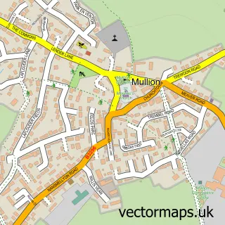
This Lizard street map is a detailed vector street map covering a 750m x 750m area. Select a larger area to create and download your own vector street map of Lizard.
The 750-metre map sample for Lizard covers 280 mapped buildings and approximately 12.0 km of road detail, of which 19 named roads are named. The immediate area includes 1 school, 2 pubs and 1 MOT station within 2 miles. The wider area around Lizard features 12 tourism points of interest, 7 food and drink venues and 3 hotels. To create a larger or custom map of Lizard, the map builder lets you define your own coverage area and download editable SVG, PDF and PNG files.
Create a larger editable map of Lizard
Choose any area you need and generate a high-quality vector map instantly. Perfect for print, planning, design, business and personal use.

This Lizard street map in Cornwall is available as downloadable SVG, PDF and PNG map files, or as a printed map for planning, business, display, education, local information and design work. You can also create a larger custom map area using the map selector.
What this Lizard map sample shows
Lizard lies within Landewednack Cp parish, part of Mullion And Grade-Ruan ward in the Cornwall local authority area. The postcode geography for this area includes the TR postcode area, the TR12 postcode district and the TR12 7 postcode sector. Residents fall under the Nhs Cornwall And The Isles Of Scilly Integrated Care Board for NHS services.
Local features near Lizard
Within 2 milesAmenities and services in and around Lizard.
Administrative and postcode information for Lizard
Lizard lies within Landewednack Cp parish, part of Mullion And Grade-Ruan ward in the Cornwall local authority area. The postcode geography for this area includes the TR postcode area, the TR12 postcode district and the TR12 7 postcode sector. Residents fall under the Nhs Cornwall And The Isles Of Scilly Integrated Care Board for NHS services.
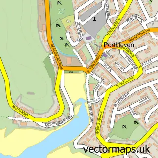
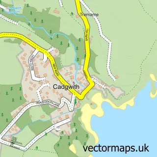
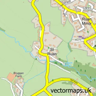
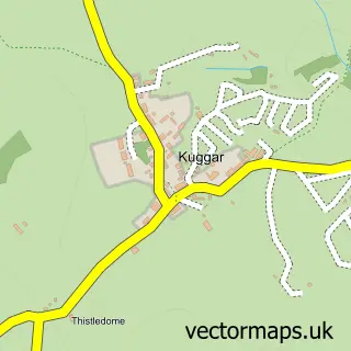
Nearby street map samples around Lizard


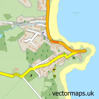
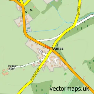
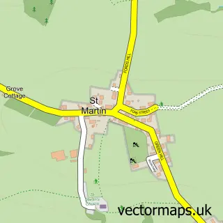
More street maps in Cornwall
750 metre map area coverage
Boundary, postcode and point of interest information for the 750m x 750m rectangle centred on this sample map.
Boundaries containing map centre
Constituency: St. Ives Co Const
District: Cornwall
Icb: NHS Cornwall and the Isles of Scilly ICB
Parish: Landewednack CP
Police Force: devon and cornwall
Postcode District: TR12
Postcode Sector: TR12 7
Nearby boundaries intersecting sample
No additional intersecting boundaries found.
Postcode coverage
POI category counts
Landmark And Historical Building: 5
Bed And Breakfast: 4
Campground: 4
Cafe: 3
Hotel: 3
Arts And Crafts: 2
Attractions And Activities: 2
Beach: 2
Doctor: 2
Professional Services: 2
Sample points of interest
- New Cornwall Opera
- Lizard Arts & Craft Market
- Twisted Lizard
- Lizard Adventure
- Lizard Football Ground
- Ann's Pasties
- The Tuckshop
- Polpeor Cove
- The Lizard & Kynance Cove
- Simone Mobile Hairdresser & Nails
- Atlantic House B & B
- Haelarcher Farmhouse and Helicopter B&B
Create a larger editable map of Lizard
This sample shows only a 750 metre area. To create a larger map of Lizard, use our map builder to choose your own coverage area, add titles and download editable SVG, PDF and PNG files.
Create a custom map of Lizard