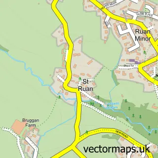
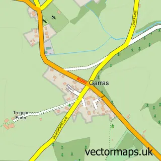
This Ruan Minor street map is a detailed vector street map covering a 750m x 750m area. Select a larger area to create and download your own vector street map of Ruan Minor.
The 750-metre map sample for Ruan Minor covers 188 mapped buildings and approximately 10.4 km of road detail, of which 9 named roads are named. The immediate area includes 1 school and 1 MOT station within 2 miles. The wider area around Ruan Minor features 3 tourism points of interest, 1 food and drink venue and 1 hotel. To create a larger or custom map of Ruan Minor, the map builder lets you define your own coverage area and download editable SVG, PDF and PNG files.
Create a larger editable map of Ruan Minor
Choose any area you need and generate a high-quality vector map instantly. Perfect for print, planning, design, business and personal use.

This Ruan Minor street map in Cornwall is available as downloadable SVG, PDF and PNG map files, or as a printed map for planning, business, display, education, local information and design work. You can also create a larger custom map area using the map selector.
What this Ruan Minor map sample shows
Ruan Minor lies within Grade-Ruan Cp parish, part of Mullion And Grade-Ruan ward in the Cornwall local authority area. The postcode geography for this area includes the TR postcode area, the TR12 postcode district and the TR12 7 postcode sector. Residents fall under the Nhs Cornwall And The Isles Of Scilly Integrated Care Board for NHS services.
Local features near Ruan Minor
Within 2 milesAmenities and services in and around Ruan Minor.
Administrative and postcode information for Ruan Minor
The local authority covering Ruan Minor is Cornwall, within the county of Cornwall. The settlement lies within Mullion And Grade-Ruan ward and Grade-Ruan Cp civil parish. The TR12 postcode district and TR12 7 postcode sector serve the immediate area. NHS provision in the area is delivered through Royal Cornwall Hospitals Nhs Trust.
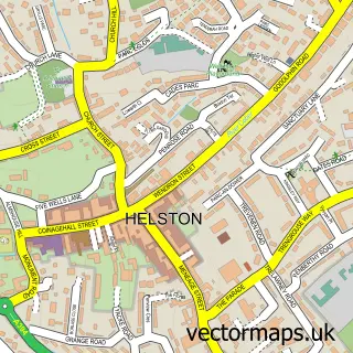
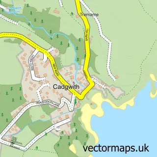
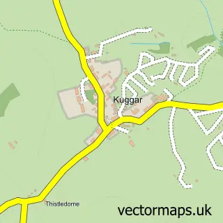
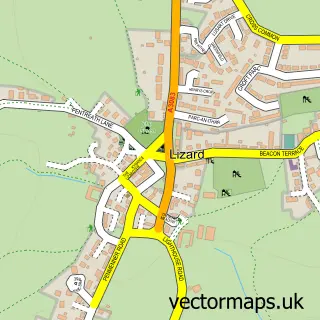
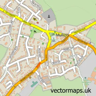
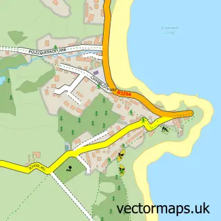
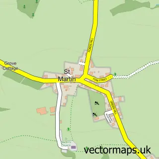
Nearby street map samples around Ruan Minor

More street maps in Cornwall
750 metre map area coverage
Boundary, postcode and point of interest information for the 750m x 750m rectangle centred on this sample map.
Boundaries containing map centre
Constituency: St. Ives Co Const
District: Cornwall
Icb: NHS Cornwall and the Isles of Scilly ICB
Parish: Grade-Ruan CP
Police Force: devon and cornwall
Postcode District: TR12
Postcode Sector: TR12 7
Nearby boundaries intersecting sample
No additional intersecting boundaries found.
Postcode coverage
POI category counts
Campground: 2
Convenience Store: 2
Elementary School: 2
Active Life: 1
Anglican Church: 1
Attractions And Activities: 1
Automotive Services And Repair: 1
Beauty Salon: 1
Cafe: 1
Charity Organization: 1
Sample points of interest
- Grade Ruan Recreation Ground and Pavilion Bar
- Ruan Minor: St Rumon
- Ruan Minor Recreation Ground
- Gryphon Computer Support
- Fleek Hair Freelance
- The Store Ruan Minor
- Friendly Camp
- Gwendreath Farm Holiday Park
- Ruan Minor Village Hall
- Steve Thompson Chimney Sweep
- Ruan Minor Methodist Chapel
- Post Office
Create a larger editable map of Ruan Minor
This sample shows only a 750 metre area. To create a larger map of Ruan Minor, use our map builder to choose your own coverage area, add titles and download editable SVG, PDF and PNG files.
Create a custom map of Ruan Minor