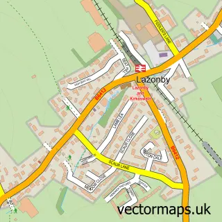
This Langwathby street map is a detailed vector street map covering a 750m x 750m area. Select a larger area to create and download your own vector street map of Langwathby.
The 750-metre map sample for Langwathby covers 192 mapped buildings and approximately 8.3 km of road detail, of which 9 named roads are named. The immediate area includes 1 school and 2 MOT stations, with 3 within 2 miles. The wider area around Langwathby features 1 food and drink venue and 1 campsite within 2 miles. To create a larger or custom map of Langwathby, the map builder lets you define your own coverage area and download editable SVG, PDF and PNG files.
Create a larger editable map of Langwathby
Choose any area you need and generate a high-quality vector map instantly. Perfect for print, planning, design, business and personal use.

This Langwathby street map in Cumbria is available as downloadable SVG, PDF and PNG map files, or as a printed map for planning, business, display, education, local information and design work. You can also create a larger custom map area using the map selector.
What this Langwathby map sample shows
Langwathby lies within Langwathby Cp parish, part of Langwathby ward in the Westmorland And Furness local authority area. The postcode geography for this area includes the CA postcode area, the CA10 postcode district and the CA10 1 postcode sector. Residents fall under the Nhs North East And North Cumbria Integrated Care Board for NHS services.
Local features near Langwathby
Within 2 milesAmenities and services in and around Langwathby.
Administrative and postcode information for Langwathby
The local authority covering Langwathby is Westmorland And Furness, within the county of Cumbria. The settlement lies within Langwathby ward and Langwathby Cp civil parish. The CA10 postcode district and CA10 1 postcode sector serve the immediate area. NHS provision in the area is delivered through North Cumbria Integrated Care Nhs Foundation Trust.
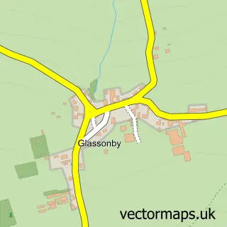
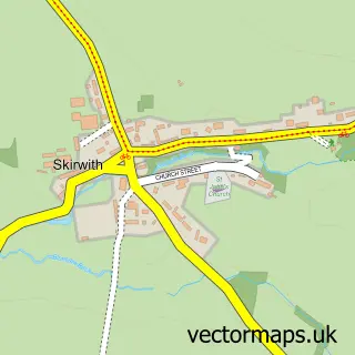
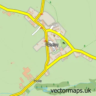
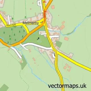
Nearby street map samples around Langwathby

More street maps in Cumbria
750 metre map area coverage
Boundary, postcode and point of interest information for the 750m x 750m rectangle centred on this sample map.
Boundaries containing map centre
Constituency: Penrith and Solway Co Const
District: Westmorland and Furness
Icb: NHS North East and North Cumbria ICB
Parish: Langwathby CP
Police Force: cumbria
Postcode District: CA10
Postcode Sector: CA10 1
Ward: Alston and Fellside Ward
Nearby boundaries intersecting sample
No additional intersecting boundaries found.
Postcode coverage
POI category counts
Shipping Center: 2
Agricultural Service: 1
Anglican Church: 1
Auto Manufacturers And Distributors: 1
Beauty And Spa: 1
Coffee Shop: 1
Community Center: 1
Elementary School: 1
Farming Equipment Store: 1
Forestry Service: 1
Sample points of interest
- Burrow and Rutter Armstrong Engineering
- St Peter
- Polaris Penrith
- Chloe's Hair & Beauty
- Saddleback's
- Langwathby Village Hall
- Langwathby C of E School
- DW Toppin Ltd.
- Chris Wakefield Tree Services
- Bank House Equestrian
- Eden Ostrich World
- Hunters Lodge Garden Nursery
Create a larger editable map of Langwathby
This sample shows only a 750 metre area. To create a larger map of Langwathby, use our map builder to choose your own coverage area, add titles and download editable SVG, PDF and PNG files.
Create a custom map of Langwathby