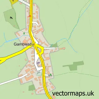
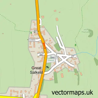
This Melmerby street map is a detailed vector street map covering a 750m x 750m area. Select a larger area to create and download your own vector street map of Melmerby.
The 750-metre map sample for Melmerby covers 101 mapped buildings and approximately 17.2 km of road detail, of which 2 named roads are named. The immediate area includes 2 pubs. The wider area around Melmerby features 2 tourism points of interest, 3 food and drink venues and 1 campsite within 2 miles. To create a larger or custom map of Melmerby, the map builder lets you define your own coverage area and download editable SVG, PDF and PNG files.
Create a larger editable map of Melmerby
Choose any area you need and generate a high-quality vector map instantly. Perfect for print, planning, design, business and personal use.

This Melmerby street map in Cumbria is available as downloadable SVG, PDF and PNG map files, or as a printed map for planning, business, display, education, local information and design work. You can also create a larger custom map area using the map selector.
What this Melmerby map sample shows
Melmerby lies within Melmerby Cp parish, part of Hartside ward in the Westmorland And Furness local authority area. The postcode geography for this area includes the CA postcode area, the CA10 postcode district and the CA10 1 postcode sector. Residents fall under the Nhs North East And North Cumbria Integrated Care Board for NHS services.
Local features near Melmerby
Within 2 milesAmenities and services in and around Melmerby.
Administrative and postcode information for Melmerby
The local authority covering Melmerby is Westmorland And Furness, within the county of Cumbria. The settlement lies within Hartside ward and Melmerby Cp civil parish. The CA10 postcode district and CA10 1 postcode sector serve the immediate area. NHS provision in the area is delivered through North Cumbria Integrated Care Nhs Foundation Trust.
Nearby street map samples around Melmerby
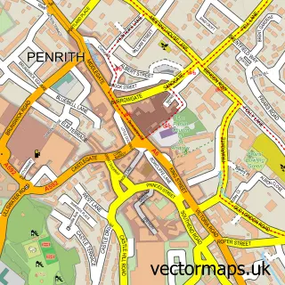

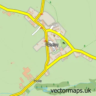
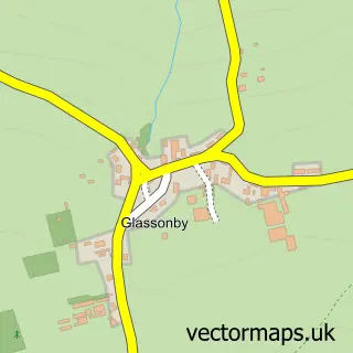
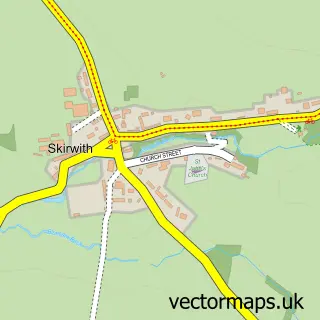
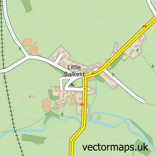
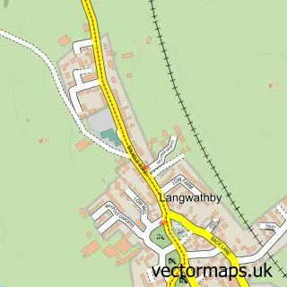
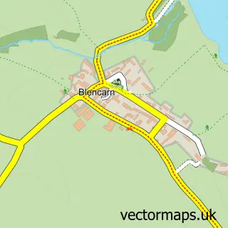
More street maps in Cumbria
750 metre map area coverage
Boundary, postcode and point of interest information for the 750m x 750m rectangle centred on this sample map.
Boundaries containing map centre
Constituency: Penrith and Solway Co Const
District: Westmorland and Furness
Icb: NHS North East and North Cumbria ICB
Parish: Melmerby CP
Police Force: cumbria
Postcode District: CA10
Postcode Sector: CA10 1
Ward: Alston and Fellside Ward
Nearby boundaries intersecting sample
No additional intersecting boundaries found.
Postcode coverage
POI category counts
Bakery: 2
Education: 2
Pub: 2
Attractions And Activities: 1
Community Center: 1
Holiday Rental Home: 1
Restaurant: 1
Tours: 1
Toy Store: 1
Sample points of interest
- Lakeland Llama Treks
- The Old Village Bakery Melmerby
- The Village Bakery
- Melmerby Village Hall Cumbria
- Northern England Wine Tasting School
- Total Train
- Melmerby Hall
- Shepherds Inn Melmerby
- The Shepherds Inn
- Souira Food Melmerby
- Wanderlusts
- The Toy Works
Create a larger editable map of Melmerby
This sample shows only a 750 metre area. To create a larger map of Melmerby, use our map builder to choose your own coverage area, add titles and download editable SVG, PDF and PNG files.
Create a custom map of Melmerby