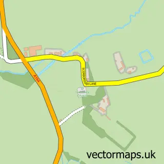
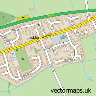
This Leconfield street map is a detailed vector street map covering a 750m x 750m area. Select a larger area to create and download your own vector street map of Leconfield.
The 750-metre map sample for Leconfield covers 414 mapped buildings and approximately 15.3 km of road detail, of which 19 named roads are named. The immediate area includes 1 school and 1 GP surgery within 2 miles. The wider area around Leconfield features 1 campsite within 2 miles. To create a larger or custom map of Leconfield, the map builder lets you define your own coverage area and download editable SVG, PDF and PNG files.
Create a larger editable map of Leconfield
Choose any area you need and generate a high-quality vector map instantly. Perfect for print, planning, design, business and personal use.

This Leconfield street map in East Riding of Yorkshire is available as downloadable SVG, PDF and PNG map files, or as a printed map for planning, business, display, education, local information and design work. You can also create a larger custom map area using the map selector.
What this Leconfield map sample shows
Leconfield lies within Leconfield Cp parish, part of Beverley Rural ward in the East Riding Of Yorkshire local authority area. The postcode geography for this area includes the HU postcode area, the HU17 postcode district and the HU17 7 postcode sector. Residents fall under the Nhs Humber And North Yorkshire Integrated Care Board for NHS services.
Local features near Leconfield
Within 2 milesAmenities and services in and around Leconfield.
Administrative and postcode information for Leconfield
The local authority covering Leconfield is East Riding Of Yorkshire, within the county of East Riding Of Yorkshire. The settlement lies within Beverley Rural ward and Leconfield Cp civil parish. The HU17 postcode district and HU17 7 postcode sector serve the immediate area. NHS provision in the area is delivered through Hull University Teaching Hospitals Nhs Trust.
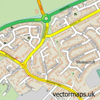
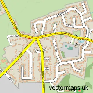
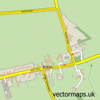
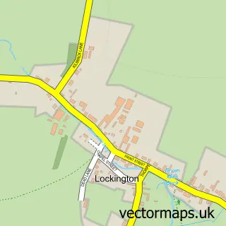
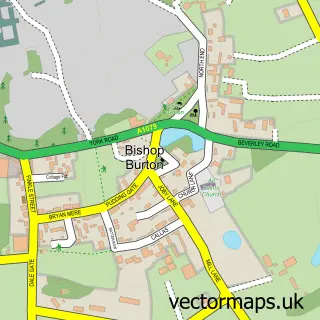
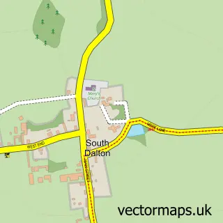
Nearby street map samples around Leconfield

More street maps in East Riding of Yorkshire
750 metre map area coverage
Boundary, postcode and point of interest information for the 750m x 750m rectangle centred on this sample map.
Boundaries containing map centre
Constituency: Beverley and Holderness Co Const
District: East Riding of Yorkshire
Icb: NHS Humber and North Yorkshire ICB
Parish: Leconfield CP
Police Force: humberside
Postcode District: HU17
Postcode Sector: HU17 7
Ward: Beverley Rural Ward
Nearby boundaries intersecting sample
No additional intersecting boundaries found.
Postcode coverage
POI category counts
Post Office: 2
Advertising Agency: 1
Anglican Church: 1
Animal Shelter: 1
Carpenter: 1
Charity Organization: 1
Chimney Sweep: 1
Church Cathedral: 1
Construction Services: 1
Contractor: 1
Sample points of interest
- Fully Focused
- St Catherine's Church, Arram Road, Leconfield HU17 7NP
- Leconfield Kennels and Cattery / Dog Groomers
- Stephen R Bell
- SSAFA Forces Help
- Rodgers & Sons Chimney Sweep Services
- St Catherine's Church
- G P Sissons and Son Builders
- Beautiful Bathrooms and Kitchens
- Able2drive
- Castle View Electrical Services
- Leconfield Primary School
Create a larger editable map of Leconfield
This sample shows only a 750 metre area. To create a larger map of Leconfield, use our map builder to choose your own coverage area, add titles and download editable SVG, PDF and PNG files.
Create a custom map of Leconfield