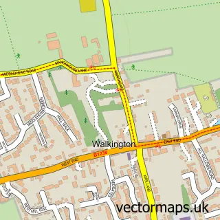
This Cherry Burton street map is a detailed vector street map covering a 750m x 750m area. Select a larger area to create and download your own vector street map of Cherry Burton.
The 750-metre map sample for Cherry Burton covers 472 mapped buildings and approximately 14.4 km of road detail, of which 16 named roads are named. The immediate area includes 1 school and 1 pub. The wider area around Cherry Burton features 2 food and drink venues, 1 hotel and 1 campsite within 2 miles. To create a larger or custom map of Cherry Burton, the map builder lets you define your own coverage area and download editable SVG, PDF and PNG files.
Create a larger editable map of Cherry Burton
Choose any area you need and generate a high-quality vector map instantly. Perfect for print, planning, design, business and personal use.

This Cherry Burton street map in East Riding of Yorkshire is available as downloadable SVG, PDF and PNG map files, or as a printed map for planning, business, display, education, local information and design work. You can also create a larger custom map area using the map selector.
What this Cherry Burton map sample shows
Cherry Burton lies within Cherry Burton Cp parish, part of Beverley Rural ward in the East Riding Of Yorkshire local authority area. The postcode geography for this area includes the HU postcode area, the HU17 postcode district and the HU17 7 postcode sector. Residents fall under the Nhs Humber And North Yorkshire Integrated Care Board for NHS services.
Local features near Cherry Burton
Within 2 milesAmenities and services in and around Cherry Burton.
Administrative and postcode information for Cherry Burton
Cherry Burton lies within Cherry Burton Cp parish, part of Beverley Rural ward in the East Riding Of Yorkshire local authority area. The postcode geography for this area includes the HU postcode area, the HU17 postcode district and the HU17 7 postcode sector. Residents fall under the Nhs Humber And North Yorkshire Integrated Care Board for NHS services.
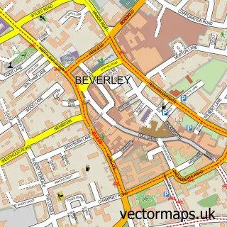
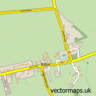
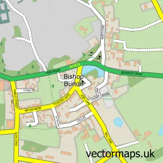
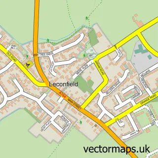
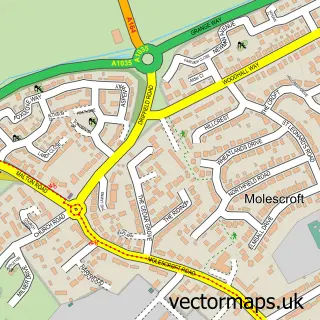
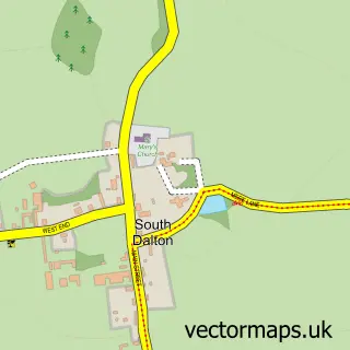
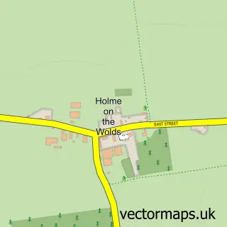
Nearby street map samples around Cherry Burton

More street maps in East Riding of Yorkshire
750 metre map area coverage
Boundary, postcode and point of interest information for the 750m x 750m rectangle centred on this sample map.
Boundaries containing map centre
Constituency: Beverley and Holderness Co Const
District: East Riding of Yorkshire
Icb: NHS Humber and North Yorkshire ICB
Parish: Cherry Burton CP
Police Force: humberside
Postcode District: HU17
Postcode Sector: HU17 7
Ward: Beverley Rural Ward
Nearby boundaries intersecting sample
No additional intersecting boundaries found.
Postcode coverage
POI category counts
Convenience Store: 2
Elementary School: 2
Korean Grocery Store: 2
Scout Hall: 2
Advertising Agency: 1
Auto Electrical Repair: 1
Bar: 1
Beach: 1
Business Consulting: 1
Cafe: 1
Sample points of interest
- Tina West Promotions
- Adpro Securities
- The Bay Horse
- Fraisthorpe Beach
- Goldray
- The Open Door at Cherry Burton
- I Love Kitchens Ltd
- Budgens Cherry Burton
- Costcutter (Cherry Burton)
- Paula Cullen Counselling
- Post Office Travel Money
- Ionian Training Services
Create a larger editable map of Cherry Burton
This sample shows only a 750 metre area. To create a larger map of Cherry Burton, use our map builder to choose your own coverage area, add titles and download editable SVG, PDF and PNG files.
Create a custom map of Cherry Burton