Vector Maps logo
Home Why it works Popular maps Districts Samples Customizer Create Your Map
VectorMaps.uk
Home Popular maps Districts Samples Customizer Create Your Map Privacy Disclaimer
Home / UK Maps / East Riding of Yorkshire / Walkington Map

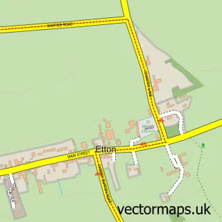
This Walkington street map is a detailed vector street map covering a 750m x 750m area. Select a larger area to create and download your own vector street map of Walkington.

Walkington is a village in East Riding Of Yorkshire, in the Yorkshire And The Humber of England. Historically, the area formed part of Yorkshire. The settlement falls within the Beverley And Holderness parliamentary constituency. It is served by the HU17

The 750-metre map sample for Walkington covers 368 mapped buildings and approximately 14.3 km of road detail, of which 23 named roads are named. The immediate area includes 3 pubs. The wider area around Walkington features 3 food and drink venues and 1 campsite within 2 miles. To create a larger or custom map of Walkington, the map builder lets you define your own coverage area and download editable SVG, PDF and PNG files.

368Buildings
14.29 kmRoads
23Named roads
1,745Residents within 2 miles
Create your own

Create a larger editable map of Walkington

Choose any area you need and generate a high-quality vector map instantly. Perfect for print, planning, design, business and personal use.

Choose any location
Editable SVG files
Any size up to A0
PDF, PNG & more
Instant download
High quality guaranteed
Create My Custom Map
Secure, private & no credit card required
Walkington Vector Street Map
750m Sample
Walkington vector street map sample showing roads, buildings and local features in a 750 metre preview area
Buy Walkington Map Print from £12.95 Buy Walkington Digital Map from £6

This Walkington street map in East Riding of Yorkshire is available as downloadable SVG, PDF and PNG map files, or as a printed map for planning, business, display, education, local information and design work. You can also create a larger custom map area using the map selector.

What this Walkington map sample shows

Walkington lies within Walkington Cp parish, part of Beverley Rural ward in the East Riding Of Yorkshire local authority area. The postcode geography for this area includes the HU postcode area, the HU17 postcode district and the HU17 8 postcode sector. Residents fall under the Nhs Humber And North Yorkshire Integrated Care Board for NHS services.

Local features near Walkington

Within 2 miles

Amenities and services in and around Walkington.

1 Campsites within 2 miles
3 Food & drink
3 Pubs

Counts are approximate and based on publicly available data.

Administrative and postcode information for Walkington

The local authority covering Walkington is East Riding Of Yorkshire, within the county of East Riding Of Yorkshire. The settlement lies within Beverley Rural ward and Walkington Cp civil parish. The HU17 postcode district and HU17 8 postcode sector serve the immediate area. NHS provision in the area is delivered through Hull University Teaching Hospitals Nhs Trust.

Parish Walkington CP
Ward Beverley Rural
District / local authority East Riding of Yorkshire
County East Riding of Yorkshire
Historic county Yorkshire
Postcode district HU17
Postcode sector HU17 8
Parliamentary constituency Beverley and Holderness
Region Yorkshire and the Humber
Country England

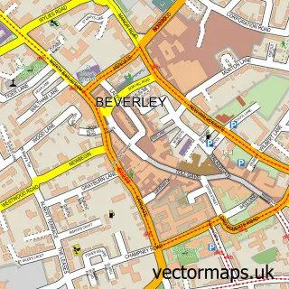
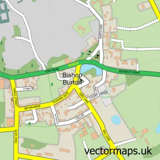
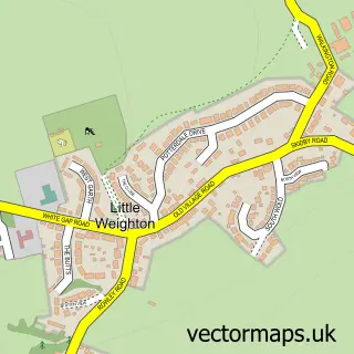
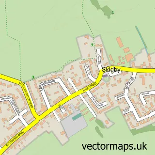
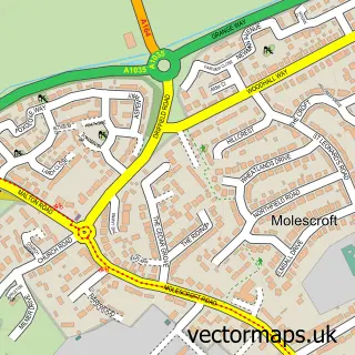
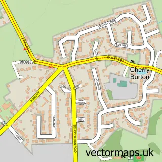
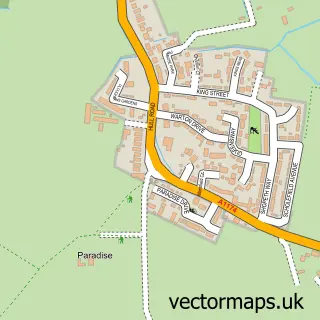
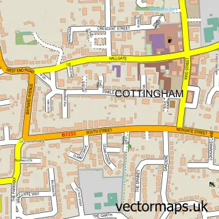
Nearby street map samples around Walkington

Street map sample of Beverley, East Riding of Yorkshire Beverley Town - East Riding of Yorkshire - 2.7 miles Street map sample of Hull, East Riding of Yorkshire Hull City - East Riding of Yorkshire - 8.1 miles Street map sample of Bishop Burton, East Riding of Yorkshire Bishop Burton Village - East Riding of Yorkshire - 1.7 miles Street map sample of Little Weighton, East Riding of Yorkshire Little Weighton Village - East Riding of Yorkshire - 2.2 miles Street map sample of Skidby, East Riding of Yorkshire Skidby Village - East Riding of Yorkshire - 2.5 miles Street map sample of Molescroft, East Riding of Yorkshire Molescroft Village - East Riding of Yorkshire - 2.8 miles Street map sample of Cherry Burton, East Riding of Yorkshire Cherry Burton Village - East Riding of Yorkshire - 3.1 miles Street map sample of Woodmansey, East Riding of Yorkshire Woodmansey Village - East Riding of Yorkshire - 3.7 miles Street map sample of Cottingham, East Riding of Yorkshire Cottingham Village - East Riding of Yorkshire - 4.0 miles Street map sample of Etton, East Riding of Yorkshire Etton Village - East Riding of Yorkshire - 4.1 miles

More street maps in East Riding of Yorkshire

Street map sample of Bishop Burton, East Riding of Yorkshire Bishop Burton Village - 1.7 miles Street map sample of Little Weighton, East Riding of Yorkshire Little Weighton Village - 2.2 miles Street map sample of Skidby, East Riding of Yorkshire Skidby Village - 2.5 miles Street map sample of Beverley, East Riding of Yorkshire Beverley Town - 2.7 miles Street map sample of Molescroft, East Riding of Yorkshire Molescroft Village - 2.8 miles

750 metre map area coverage

Boundary, postcode and point of interest information for the 750m x 750m rectangle centred on this sample map.

Boundaries containing map centre

Constituency: Beverley and Holderness Co Const

District: East Riding of Yorkshire

Icb: NHS Humber and North Yorkshire ICB

Parish: Walkington CP

Police Force: humberside

Postcode District: HU17

Postcode Sector: HU17 8

Ward: Beverley Rural Ward

Nearby boundaries intersecting sample

No additional intersecting boundaries found.

Postcode coverage

HU17 HU17 8

POI category counts

Church Cathedral: 3

Pub: 3

Convenience Store: 2

Advertising Agency: 1

Alternative Medicine: 1

Bookstore: 1

Chimney Sweep: 1

Comfort Food Restaurant: 1

Community Center: 1

Dog Park: 1

Sample points of interest

  • The Promotion Company Ltd (Hull) Advertising Agency
  • Anne Stagg Hypnotherapy Alternative Medicine
  • CC5 Ventures Bookstore
  • Man Flue Chimney Sweep
  • All Hallows Church, Walkington Church Cathedral
  • Walkington All Hallows Churchyard Church Cathedral
  • Walkington Methodist Church Church Cathedral
  • The Dog & Duck Comfort Food Restaurant
  • Walkington Village Hall Community Center
  • Budgens Walkington Convenience Store
  • Costcutter - Walkington Convenience Store
  • Walkington Secure Dog Walking Field Dog Park

Create a larger editable map of Walkington

This sample shows only a 750 metre area. To create a larger map of Walkington, use our map builder to choose your own coverage area, add titles and download editable SVG, PDF and PNG files.

Create a custom map of Walkington

Phone 01751 473136 | Copyright Vectormaps.uk 2026

Samples Customizer Privacy Disclaimer
Walkington Vector Street Map
Walkington enlarged street map sample showing a 750 metre preview area