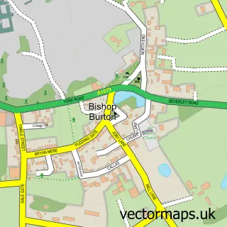
This Little Weighton street map is a detailed vector street map covering a 750m x 750m area. Select a larger area to create and download your own vector street map of Little Weighton.
The 750-metre map sample for Little Weighton covers 258 mapped buildings and approximately 9.4 km of road detail, of which 13 named roads are named. The immediate area includes 1 school, 1 pub and 1 MOT station within 2 miles. The wider area around Little Weighton features 1 food and drink venue. To create a larger or custom map of Little Weighton, the map builder lets you define your own coverage area and download editable SVG, PDF and PNG files.
Create a larger editable map of Little Weighton
Choose any area you need and generate a high-quality vector map instantly. Perfect for print, planning, design, business and personal use.

This Little Weighton street map in East Riding of Yorkshire is available as downloadable SVG, PDF and PNG map files, or as a printed map for planning, business, display, education, local information and design work. You can also create a larger custom map area using the map selector.
What this Little Weighton map sample shows
Little Weighton lies within Rowley Cp parish, part of Dale ward in the East Riding Of Yorkshire local authority area. The postcode geography for this area includes the HU postcode area, the HU20 postcode district and the HU20 3 postcode sector. Residents fall under the Nhs Humber And North Yorkshire Integrated Care Board for NHS services.
Local features near Little Weighton
Within 2 milesAmenities and services in and around Little Weighton.
Administrative and postcode information for Little Weighton
The local authority covering Little Weighton is East Riding Of Yorkshire, within the county of East Riding Of Yorkshire. The settlement lies within Dale ward and Rowley Cp civil parish. The HU20 postcode district and HU20 3 postcode sector serve the immediate area. NHS provision in the area is delivered through Hull University Teaching Hospitals Nhs Trust.
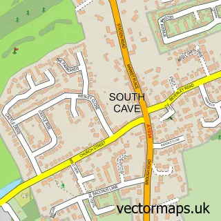
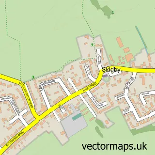
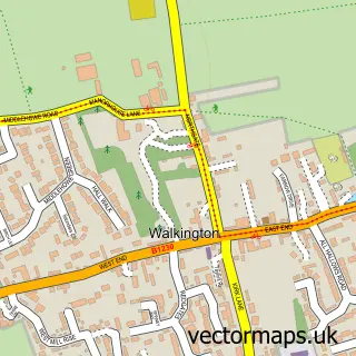
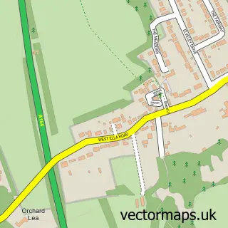
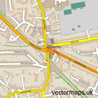
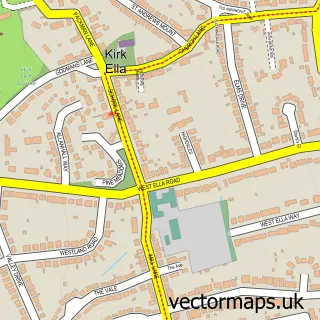
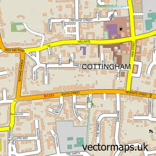
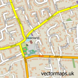
Nearby street map samples around Little Weighton

More street maps in East Riding of Yorkshire
750 metre map area coverage
Boundary, postcode and point of interest information for the 750m x 750m rectangle centred on this sample map.
Boundaries containing map centre
Constituency: Goole and Pocklington Co Const
District: East Riding of Yorkshire
Icb: NHS Humber and North Yorkshire ICB
Parish: Rowley CP
Police Force: humberside
Postcode District: HU20
Postcode Sector: HU20 3
Ward: Dale Ward
Nearby boundaries intersecting sample
Parish: Skidby CP
Postcode coverage
POI category counts
Automotive Repair: 2
Beauty And Spa: 1
Community Center: 1
Currency Exchange: 1
Education: 1
Elementary School: 1
Financial Service: 1
Gardener: 1
Internet Marketing Service: 1
Marketing Agency: 1
Sample points of interest
- Station Garage
- Traveller Timbers
- Juventa
- Little Weighton Village Hall
- Post Office Travel Money
- Intrinsic Training
- Little Weighton C E Primary School
- Western Union
- Southwold Garden Services
- Getextra Ltd
- Getextra Ltd
- Rosedale Bed & Breakfast
Create a larger editable map of Little Weighton
This sample shows only a 750 metre area. To create a larger map of Little Weighton, use our map builder to choose your own coverage area, add titles and download editable SVG, PDF and PNG files.
Create a custom map of Little Weighton