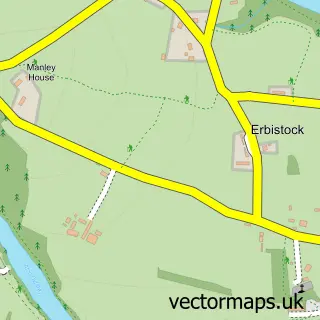
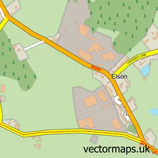
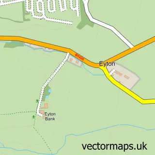
This Lightwood Green street map is a detailed vector street map covering a 750m x 750m area. Select a larger area to create and download your own vector street map of Lightwood Green.
The 750-metre map sample for Lightwood Green covers 93 mapped buildings and approximately 12.5 km of road detail, of which 3 named roads are named. The immediate area includes 2 MOT stations within 2 miles. The wider area around Lightwood Green features 2 campsites within 2 miles. To create a larger or custom map of Lightwood Green, the map builder lets you define your own coverage area and download editable SVG, PDF and PNG files.
Create a larger editable map of Lightwood Green
Choose any area you need and generate a high-quality vector map instantly. Perfect for print, planning, design, business and personal use.

This Lightwood Green street map in Clwyd is available as downloadable SVG, PDF and PNG map files, or as a printed map for planning, business, display, education, local information and design work. You can also create a larger custom map area using the map selector.
What this Lightwood Green map sample shows
Lightwood Green lies within Overton Community parish, part of Overton ward in the Wrecsam - Wrexham local authority area. The postcode geography for this area includes the LL postcode area, the LL13 postcode district and the LL13 0 postcode sector. Residents fall under the Betsi Cadwaladr University Health Board for NHS services.
Local features near Lightwood Green
Within 2 milesAmenities and services in and around Lightwood Green.
Administrative and postcode information for Lightwood Green
Lightwood Green lies within Overton Community parish, part of Overton ward in the Wrecsam - Wrexham local authority area. The postcode geography for this area includes the LL postcode area, the LL13 postcode district and the LL13 0 postcode sector. Residents fall under the Betsi Cadwaladr University Health Board for NHS services.
Nearby street map samples around Lightwood Green

More street maps in Clwyd
750 metre map area coverage
Boundary, postcode and point of interest information for the 750m x 750m rectangle centred on this sample map.
Boundaries containing map centre
Constituency: Wrexham Co Const
District: Wrecsam - Wrexham
Icb: Betsi Cadwaladr University
Parish: Overton Community
Police Force: north wales
Postcode District: LL13
Postcode Sector: LL13 0
Nearby boundaries intersecting sample
Parish: Maelor South Community
Postcode coverage
POI category counts
Business Manufacturing And Supply: 1
Clothing Store: 1
Furniture Store: 1
Gardener: 1
Lumber Store: 1
Pet Boarding: 1
Professional Services: 1
Self Storage Facility: 1
Veterinarian: 1
Sample points of interest
- A E Evans Ltd
- Logger Clobber
- Ningbo Furniture
- Wright Landscapes
- Timber Direct Ltd
- Lightwood Boarding Kennels & Cattery
- S D G Trading Ltd
- Coverall Containers
- Synovium Horse Health Supplements UK
Create a larger editable map of Lightwood Green
This sample shows only a 750 metre area. To create a larger map of Lightwood Green, use our map builder to choose your own coverage area, add titles and download editable SVG, PDF and PNG files.
Create a custom map of Lightwood Green