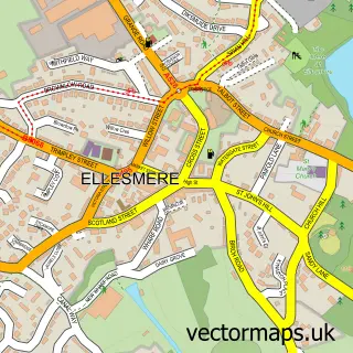
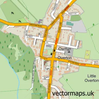
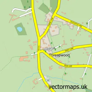
This Bangor-on-Dee street map is a detailed vector street map covering a 750m x 750m area. Select a larger area to create and download your own vector street map of Bangor-on-Dee.
The 750-metre map sample for Bangor-on-Dee covers 341 mapped buildings and approximately 19.0 km of road detail, of which 22 named roads are named. The immediate area includes 1 school, 1 GP surgery and 2 pubs. The wider area around Bangor-on-Dee features 2 food and drink venues, 2 hotels and 1 campsite within 2 miles. To create a larger or custom map of Bangor-on-Dee, the map builder lets you define your own coverage area and download editable SVG, PDF and PNG files.
Create a larger editable map of Bangor-on-Dee
Choose any area you need and generate a high-quality vector map instantly. Perfect for print, planning, design, business and personal use.

This Bangor-on-Dee street map in Clwyd is available as downloadable SVG, PDF and PNG map files, or as a printed map for planning, business, display, education, local information and design work. You can also create a larger custom map area using the map selector.
What this Bangor-on-Dee map sample shows
Bangor-on-Dee lies within Bangor Is-Y-Coed Community parish, part of Bronington ward in the Wrecsam - Wrexham local authority area. The postcode geography for this area includes the LL postcode area, the LL13 postcode district and the LL13 0 postcode sector. Residents fall under the Betsi Cadwaladr University Health Board for NHS services.
Local features near Bangor-on-Dee
Within 2 milesAmenities and services in and around Bangor-on-Dee.
Administrative and postcode information for Bangor-on-Dee
Bangor-on-Dee lies within Bangor Is-Y-Coed Community parish, part of Bronington ward in the Wrecsam - Wrexham local authority area. The postcode geography for this area includes the LL postcode area, the LL13 postcode district and the LL13 0 postcode sector. Residents fall under the Betsi Cadwaladr University Health Board for NHS services.
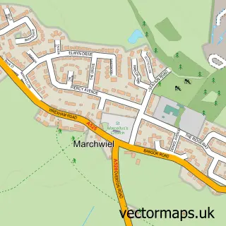
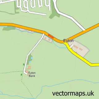
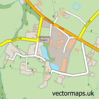
Nearby street map samples around Bangor-on-Dee

More street maps in Clwyd
750 metre map area coverage
Boundary, postcode and point of interest information for the 750m x 750m rectangle centred on this sample map.
Boundaries containing map centre
Constituency: Wrexham Co Const
District: Wrecsam - Wrexham
Icb: Betsi Cadwaladr University
Parish: Bangor is-y-Coed Community
Police Force: north wales
Postcode District: LL13
Postcode Sector: LL13 0
Nearby boundaries intersecting sample
Parish: Sesswick Community
Postcode coverage
POI category counts
Professional Services: 3
Church Cathedral: 2
Hotel: 2
Post Office: 2
Pub: 2
Atms: 1
Barber: 1
Business: 1
Butcher Shop: 1
Counseling And Mental Health: 1
Sample points of interest
- Barclays Bank
- Picasso Hair And Beauty
- Gordon Mytton Homes
- Wondae Dexter Beef & Welsh Lamb
- Saint Dunawd's Church, Bangor on Dee
- St Dunawd's Church
- Network of Staff Supporters Ltd
- Maelor Dental Care ltd
- Brooks Driving School
- Ysgol Sant Dunawd
- Bovi-gen
- Woodeaves Finance
Create a larger editable map of Bangor-on-Dee
This sample shows only a 750 metre area. To create a larger map of Bangor-on-Dee, use our map builder to choose your own coverage area, add titles and download editable SVG, PDF and PNG files.
Create a custom map of Bangor-on-Dee