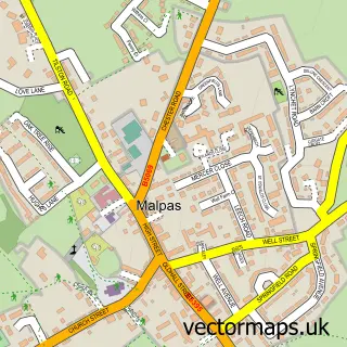
This Threapwood street map is a detailed vector street map covering a 750m x 750m area. Select a larger area to create and download your own vector street map of Threapwood.
The 750-metre map sample for Threapwood covers 122 mapped buildings and approximately 7.3 km of road detail, of which 6 named roads are named. The immediate area includes 1 MOT station within 2 miles. The wider area around Threapwood features 1 campsite within 2 miles. To create a larger or custom map of Threapwood, the map builder lets you define your own coverage area and download editable SVG, PDF and PNG files.
Create a larger editable map of Threapwood
Choose any area you need and generate a high-quality vector map instantly. Perfect for print, planning, design, business and personal use.

This Threapwood street map in Cheshire is available as downloadable SVG, PDF and PNG map files, or as a printed map for planning, business, display, education, local information and design work. You can also create a larger custom map area using the map selector.
What this Threapwood map sample shows
Threapwood lies within Threapwood Cp parish, part of Malpas ward in the Cheshire West And Chester (B) local authority area. The postcode geography for this area includes the SY postcode area, the SY14 postcode district and the SY14 7 postcode sector. Residents fall under the Nhs Cheshire And Merseyside Integrated Care Board for NHS services.
Local features near Threapwood
Within 2 milesAmenities and services in and around Threapwood.
Administrative and postcode information for Threapwood
The local authority covering Threapwood is Cheshire West And Chester (B), within the county of Cheshire. The settlement lies within Malpas ward and Threapwood Cp civil parish. The SY14 postcode district and SY14 7 postcode sector serve the immediate area. NHS provision in the area is delivered through Countess Of Chester Hospital Nhs Foundation Trust.
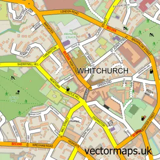
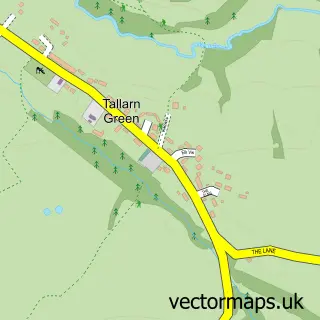
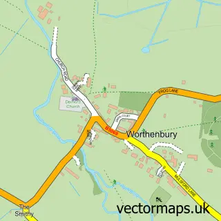
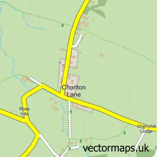
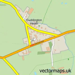
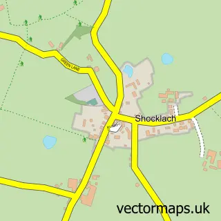
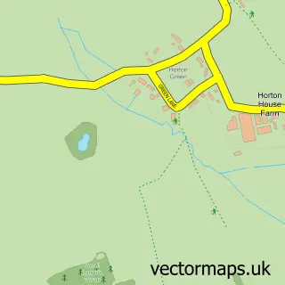
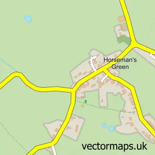
Nearby street map samples around Threapwood

More street maps in Cheshire
750 metre map area coverage
Boundary, postcode and point of interest information for the 750m x 750m rectangle centred on this sample map.
Boundaries containing map centre
Constituency: Chester South and Eddisbury Co Const
District: Cheshire West and Chester (B)
Icb: NHS Cheshire and Merseyside ICB
Parish: Threapwood CP
Police Force: cheshire
Postcode District: SY14
Postcode Sector: SY14 7
Ward: Malpas Ward
Nearby boundaries intersecting sample
Constituency: Wrexham Co Const
District: Wrecsam - Wrexham
Icb: Betsi Cadwaladr University
Parish: Willington Worthenbury Community
Police Force: north wales
Postcode coverage
POI category counts
Auto Body Shop: 1
Bed And Breakfast: 1
Church Cathedral: 1
Contractor: 1
Kitchen Supply Store: 1
Pop Up Shop: 1
Sample points of interest
- VW Camperhaus
- BaaBaa Huts
- St John's Church
- Cobblestone Installations
- Quinta Kamado Ltd.
- Threapwood Christmas Trees
Create a larger editable map of Threapwood
This sample shows only a 750 metre area. To create a larger map of Threapwood, use our map builder to choose your own coverage area, add titles and download editable SVG, PDF and PNG files.
Create a custom map of Threapwood