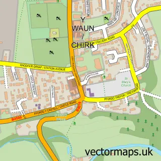
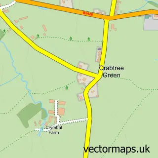
This Pentre Maelor street map is a detailed vector street map covering a 750m x 750m area. Select a larger area to create and download your own vector street map of Pentre Maelor.
The 750-metre map sample for Pentre Maelor covers 43 mapped buildings and approximately 9.1 km of road detail, of which 9 named roads are named. The immediate area includes 1 MOT station, with 8 within 2 miles. The wider area around Pentre Maelor features 1 campsite within 2 miles. To create a larger or custom map of Pentre Maelor, the map builder lets you define your own coverage area and download editable SVG, PDF and PNG files.
Create a larger editable map of Pentre Maelor
Choose any area you need and generate a high-quality vector map instantly. Perfect for print, planning, design, business and personal use.

This Pentre Maelor street map in Clwyd is available as downloadable SVG, PDF and PNG map files, or as a printed map for planning, business, display, education, local information and design work. You can also create a larger custom map area using the map selector.
What this Pentre Maelor map sample shows
Pentre Maelor lies within Sesswick Community parish, part of Marchwiel ward in the Wrecsam - Wrexham local authority area. The postcode geography for this area includes the LL postcode area, the LL13 postcode district and the LL13 0 postcode sector. Residents fall under the Betsi Cadwaladr University Health Board for NHS services.
Local features near Pentre Maelor
Within 2 milesAmenities and services in and around Pentre Maelor.
Administrative and postcode information for Pentre Maelor
The local authority covering Pentre Maelor is Wrecsam - Wrexham, within the county of Clwyd. The settlement lies within Marchwiel ward and Sesswick Community civil parish. The LL13 postcode district and LL13 0 postcode sector serve the immediate area. NHS provision in the area is delivered through Betsi Cadwaladr University Health Board.
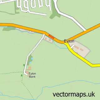
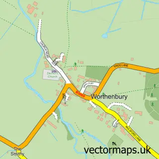
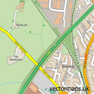
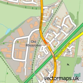
Nearby street map samples around Pentre Maelor

More street maps in Clwyd
750 metre map area coverage
Boundary, postcode and point of interest information for the 750m x 750m rectangle centred on this sample map.
Boundaries containing map centre
Constituency: Wrexham Co Const
District: Wrecsam - Wrexham
Icb: Betsi Cadwaladr University
Parish: Abenbury Community
Police Force: north wales
Postcode District: LL13
Postcode Sector: LL13 9
Nearby boundaries intersecting sample
No additional intersecting boundaries found.
Postcode coverage
POI category counts
Post Office: 4
Hardware Store: 2
Self Storage Facility: 2
Automotive Parts And Accessories: 1
Automotive Repair: 1
Banks: 1
Chimney Sweep: 1
Dance School: 1
Education: 1
Freight And Cargo Service: 1
Sample points of interest
- Polybush
- Apex Auto Centre
- Barclays Bank
- Maelor Chimney Sweep
- Liddy's Pole Studio
- Schools
- F Lloyd
- Sami official
- Lloyd & Jones Engineers Merchants
- Terrier Tools
- Rise & Shine Day Nursery
- Lloyd & Jones Engineers Merchants
Create a larger editable map of Pentre Maelor
This sample shows only a 750 metre area. To create a larger map of Pentre Maelor, use our map builder to choose your own coverage area, add titles and download editable SVG, PDF and PNG files.
Create a custom map of Pentre Maelor